The garden follies
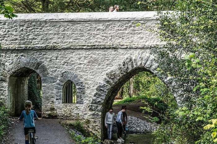
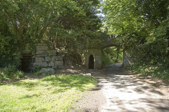
Look for decorative bridges, towers and other structures along an appropriate signed route. Their purpose was to shape views and evoke imagined places, rather than to perform the defensive roles their appearance might suggest.

nature · Dublin
St Anne’s Park offers more than a green break between Raheny and Clontarf. Its broad avenues, trees and garden buildings belong to a designed estate that became a public park. A good visit combines a simple walking route with a few deliberate stops to look at the surviving details.
From research
Choose this for an outdoor mix of garden history and everyday Dublin life. Focus on one part of the landscape rather than trying to cover the whole park. The follies and mature planting remain interesting when the rose garden is outside its flowering season.
Know before you book: This is a public park, not a tour of the former Guinness house. Some structures are protected or enclosed, so view them from permitted paths and respect railings. Garden displays, events and conservation work can change what you encounter during a visit.
Place highlights
Look for decorative bridges, towers and other structures along an appropriate signed route. Their purpose was to shape views and evoke imagined places, rather than to perform the defensive roles their appearance might suggest.
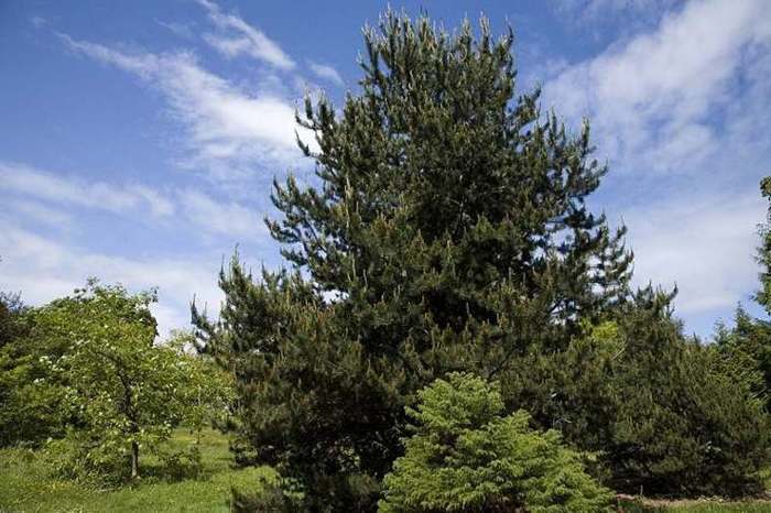
Use the avenues and arboretum as an invitation to compare trees. Notice differences in form, bark and seasonal colour instead of treating every open lawn as simply the space between landmarks.
Look at the restored red-brick buildings as part of the estate’s working history. Check individual venue arrangements if you want to enter a studio or attend a specific activity.
The story behind the visit
The park developed as part of the Guinness family’s nineteenth-century estate. Dublin City Council describes the surviving gardens, follies and woodland walks as evidence of that designed landscape. They help you see the present recreational park as the result of successive uses. Source ↗
The follies were built to enrich walks and views around the estate. Many follow the Naniken River, while others stand along an oak-lined avenue. The council began a conservation programme in 2016 to address decay and protect these small structures for future visitors. Source ↗
The former mansion burned in 1943 and its remaining structures were later demolished. A community archaeology programme has explored what survives below ground. That story is distinct from touring an intact house: use the public interpretation and current routes rather than expecting rooms to visit. Source ↗
Visitor information
Use St Anne’s Park between Raheny and Clontarf, Dublin 5. The council lists D05 EA31 and publishes an orientation coordinate for the park. Choose the entrance suited to your walking route; the property marker does not establish a particular gate or accessible approach. Official visitor information ↗
Confirm current access and visitor arrangements with the operator.
The former house was destroyed by fire and its remaining structure demolished. The public park retains landscape features and an archaeological story rather than an intact house tour. Source ↗
Flowering is seasonal. Outside the warmer months, plan around trees, avenues and the surviving garden structures. Source ↗
View them from permitted paths and follow any barriers or signs. The structures are historic garden features, not climbing equipment. Source ↗
Nearby options
Explore other places in the area, then use live directions to plan your journey.
coast
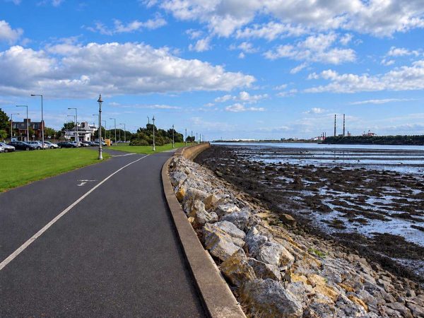
A linear seafront walk from Fairview towards the Bull Wall, with broad views across Dublin Bay.
Open place page →
coast
Dollymount’s beach, dunes and protected wildlife habitats form a very different side of Dublin’s urban coast.
Open place page →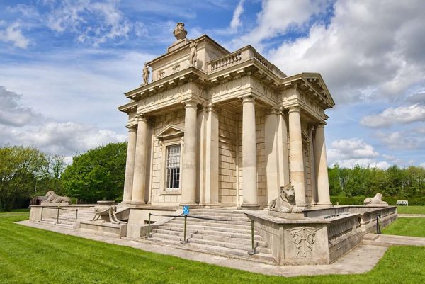
heritage
A small-looking garden pavilion whose carefully planned interior reveals a much more elaborate building.
Open place page →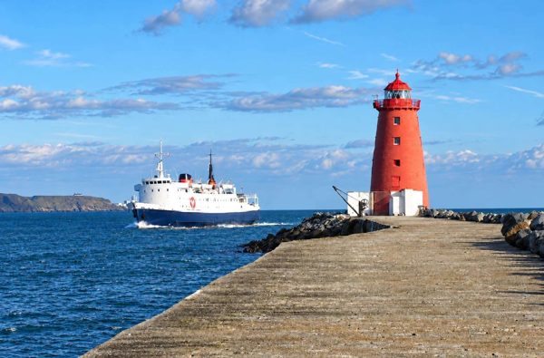
coast
An exposed harbour-wall walk towards the red Poolbeg Lighthouse, with shipping and bay views.
Open place page →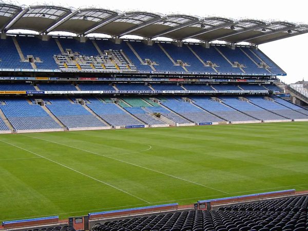
heritage
Croke Park pairs the GAA Museum’s sporting and cultural story with bookable stadium experiences. Museum-only admission, a stadium tour and the rooftop Skyline are different products.
Open place page →
attraction
A modern Liffey crossing whose harp-like form helps explain the changing Docklands skyline.
Open place page →Location & access
This is a public park, not a tour of the former Guinness house. Some structures are protected or enclosed, so view them from permitted paths and respect railings. Garden displays, events and conservation work can change what you encounter during a visit.
53.37183, -6.17934 · Reference point; confirm the correct entrance and access. Map © OpenStreetMap contributors.
Orientation only: a verified public entrance is not established by this pin. Use the operator arrival information before travel.