Skip to content
TheLazyNick

coast · Derry/Londonderry

Castlerock Beach

Castlerock Beach runs between the Downhill cliffs and the River Bann estuary, with sand, dunes and a village setting close behind. Boardwalks provide access through the dunes, while the promenade offers another way to enjoy the coast. The beach is an outdoor landscape visit; seasonal lifeguard cover should not be mistaken for a year-round swimming service.

Add to planSaved trips & places

Saved on this browser. No account needed.

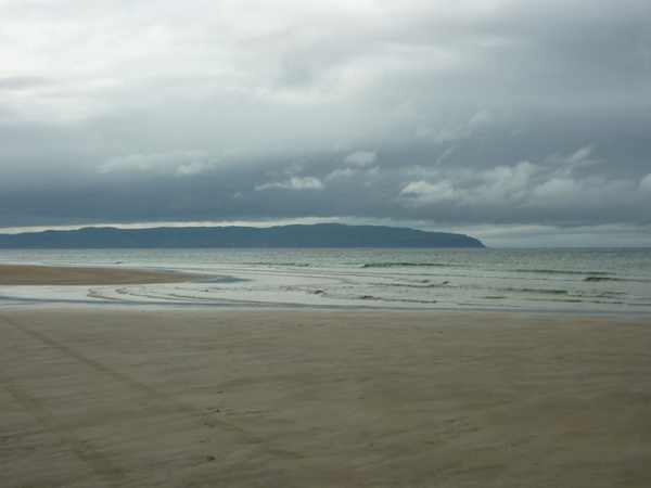
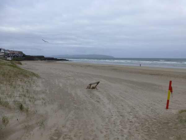
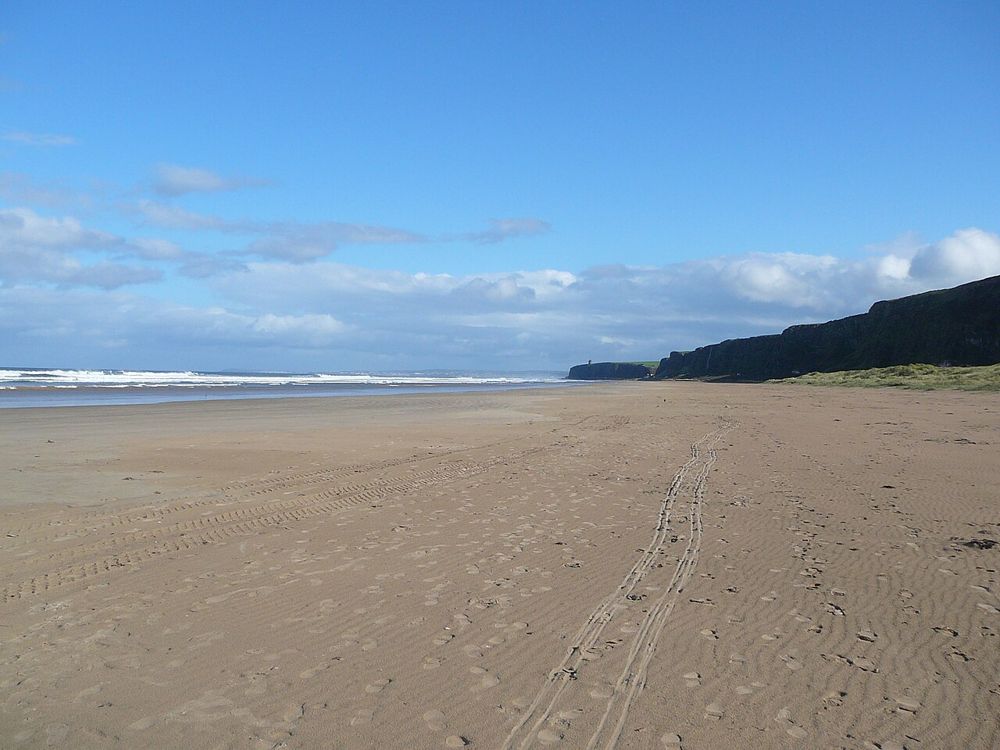
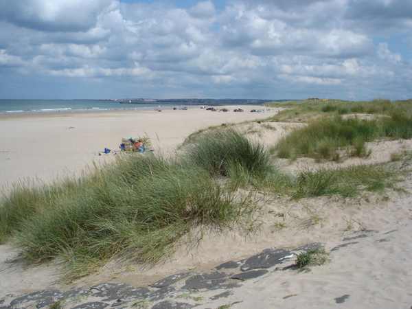
Castlerock Beach looking towards Portstewart.
Castlerock Beach looking towards Portstewart. Photo: Kay Atherton ↗ · CC BY-SA 2.0

From research

Is this worth your time?

Choose Castlerock for a beach walk with a clear sense of the coast’s shape, from cliffs to estuary. Start at the main access and decide how far conditions and the group allow. Soft sand and exposed weather can make a short distance tiring, and entering the water requires separate attention to flags, currents and local advice.

Know before you book: Lifeguards are advertised for July and August only; dune access and soft sand need care.

Place highlights

What you will actually see

01

Sandy strand

The beach’s roughly one-kilometre length gives a manageable focus for a walk. Look along the coast before choosing a direction, and leave time to return to the access point. The estuary end is not a reason to approach moving water or cross unfamiliar channels.

02

Dunes and boardwalks

Boardwalks lead through the dunes, whose habitat is part of the attraction rather than spare ground behind the beach. Use them instead of creating shortcuts. The surface changes once you reach sand, so boardwalk access does not mean the whole beach is firm or level.

03

Cliffs and village

The western cliffs and the settlement behind the shore give the beach its setting. Compare the open strand with the promenade rather than assuming the best visit must cover every end. A shorter coastal pause can be worthwhile when wind or mobility limits a longer walk.

The story behind the visit

The story behind the place

The beach sits between two strong landscape boundaries: the cliffs towards Downhill and the Lower Bann’s meeting with the sea. Behind it, dunes extend towards the estuary and form part of a protected coastal habitat. Looking at those boundaries helps explain the beach as a place shaped by wind, water and accumulated sand, rather than simply a convenient strip beside the village. Source ↗

The same setting supports several activities, but they do not all share the same rules. Dog and horse restrictions are seasonal, vehicle access is limited to a designated portion, and lifeguards are a summer service. For an ordinary visit, walking from the proper access is the clearest plan. Follow signs rather than copying what another beach user is doing, and do not read a Blue Flag award or an attractive photograph as a guarantee of safe water on the day. Keeping to boardwalks also protects the dunes which make the shore distinctive. Source ↗

Visitor information

Tickets, timing and access

Opening
Council tourism information lists the beach as open all year.Confirm with the operator ↗
Admission
Promenade parking is listed as free.Confirm with the operator ↗
Booking
No beach admission booking is advertised.Confirm with the operator ↗
Access
Boardwalks cross dunes; beach sand remains variable underfoot.Confirm with the operator ↗
Duration
Allow 45–60 minutes for a short beach walk.Confirm with the operator ↗
Seasonal
Dog, horse and lifeguard arrangements are seasonal; follow current signs.Confirm with the operator ↗

Getting to the entrance

Use the main beach approach from Sea Road in Castlerock and the designated promenade parking. Official visitor information ↗

Your questions, answered

Confirm current access and visitor arrangements with the operator.

Are lifeguards present in winter?

Do not assume so. The published service is July–August. Source ↗

Can I walk anywhere through the dunes?

Use the boardwalks and established paths to protect the habitat. Source ↗

Nearby options

Nearby places to explore

Explore other places in the area, then use live directions to plan your journey.

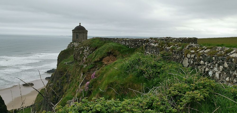
Mussenden Temple above the County Derry coast
Mussenden Temple above the County Derry coast. Resized from the credited source; appearance and access may have changed. Photo: Z thomas ↗ · CC BY-SA 4.0

heritage

Mussenden Temple and Downhill Demesne

Mussenden Temple is striking because of its position, but Downhill Demesne supplies the larger story. The small circular building, ruined house and open coast form one landscape that deserves more than a…

Open place page →
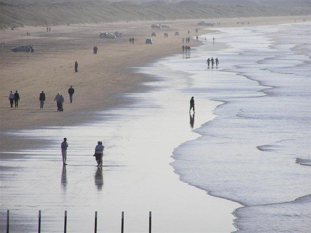
Walkers on the wide sandy beach at Portstewart Strand
Walkers on the wide sandy beach at Portstewart Strand. Source photograph dated 2005. Resized from the credited source; appearance and access may have changed. Photo: Kenneth Allen ↗ · CC BY-SA 2.0

coast

Portstewart Strand

Portstewart Strand is a substantial beach landscape, with dunes and open sand rather than a small enclosed cove. Its appeal is the room for a proper shore walk, but access and vehicle arrangements shape the…

Open place page →
The open coastal setting at Benone Strand
The open coastal setting at Benone Strand. Resized from the credited source; appearance and access may have changed. Photo: Bjmullan (talk) ↗ · CC BY-SA 3.0

coast

Benone Strand

Benone is a beach for breathing space: broad sand, an open horizon and the coastline continuing towards Downhill. Its scale is the attraction, so a simple shore walk often makes more sense than a crowded…

Open place page →
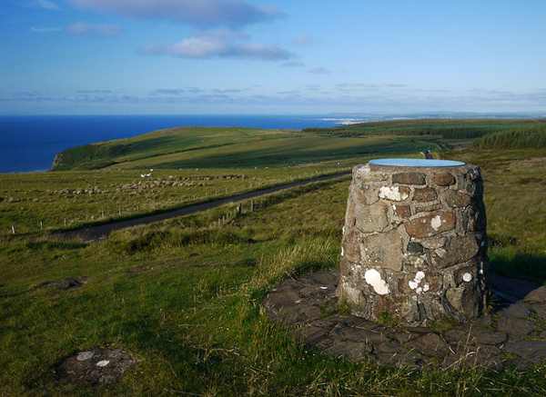
The outlook across the coastal plain from Gortmore Viewpoint.
The outlook across the coastal plain from Gortmore Viewpoint. Photo: Rossographer ↗ · CC BY-SA 2.0

nature

Gortmore View Point

Gortmore View Point is an elevated stop on Bishop’s Road, with a broad outlook over the Magilligan area and the north-west coast. A sculpture of Manannán Mac Lir adds a distinctive foreground to the landscape.…

Open place page →
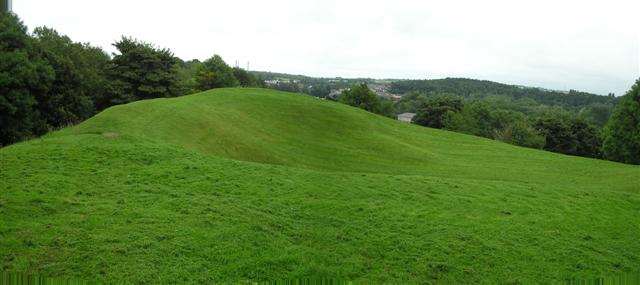
The earthwork mound at Mountsandel Fort
The earthwork mound at Mountsandel Fort. Resized for display. Photo: Kenneth Allen ↗ · CC BY-SA 2.0

heritage

Mountsandel Fort

Mountsandel Fort rises within woodland above the River Bann at Coleraine. The visible earthwork belongs to a much later period than the nearby Mesolithic settlement evidence for which Mountsandel is famous. A…

Open place page →

External visitor reviews

Find the matching listing and reviews on Google Maps ↗

Part of a bigger journey

Location & access

Getting your bearings

Lifeguards are advertised for July and August only; dune access and soft sand need care.

55.16834, -6.78629 · Reference point; confirm the correct entrance and access. Map © OpenStreetMap contributors.

Orientation only: a verified public entrance is not established by this pin. Use the operator arrival information before travel.

Sources & place context

Browse more Ireland places →