Skip to content
TheLazyNick

nature · Derry/Londonderry

Gortmore View Point

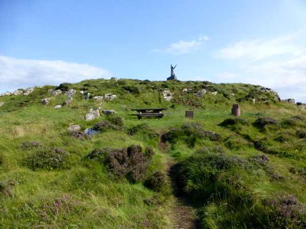
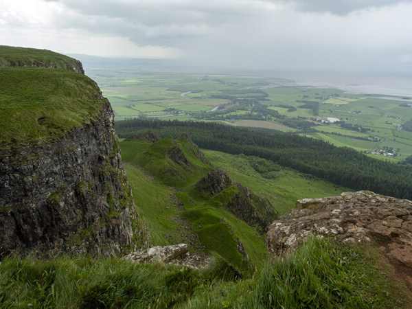
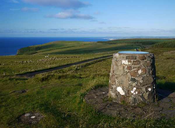
Gortmore View Point is an elevated stop on Bishop’s Road, with a broad outlook over the Magilligan area and the north-west coast. A sculpture of Manannán Mac Lir adds a distinctive foreground to the landscape. It is a place for a considered pause in suitable weather, rather than a guaranteed panorama in every condition.

Add to planSaved trips & places

Saved on this browser. No account needed.

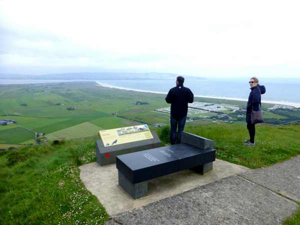
The outlook across the coastal plain from Gortmore Viewpoint.
The outlook across the coastal plain from Gortmore Viewpoint. Photo: Rossographer ↗ · CC BY-SA 2.0

From research

Is this worth your time?

Choose Gortmore when you want a short landscape stop without committing to a mountain circuit. The view depends on visibility, and the approach uses a steep scenic road, so allow conditions to shape the visit. Nearby off-road walks are separate choices; there is no need to add one simply to make the viewpoint worthwhile.

Know before you book: An exposed viewpoint on a steep scenic-road approach; distant views are weather-dependent.

Place highlights

What you will actually see

01

Coastal panorama

Look across the low ground towards the coast and Lough Foyle, using a clear day to understand the shape of the landscape. Stay within the proper viewpoint area rather than moving towards an edge. If cloud removes the distance, a shorter stop may be enough.

02

Manannán sculpture

The sea-god figure gives the viewpoint a strong visual focus and connects the outlook with Irish mythology. Look at the sculpture in relation to the sea beyond it. Treat the mythological association as cultural storytelling, not a literal account of historical events.

03

Road and walking choices

Bishop’s Road forms part of the Binevenagh scenic loop, while walking routes also begin nearby. Choose one activity at a time and use the appropriate route information. A roadside stop does not establish access rights or safety on every track visible from it.

The story behind the visit

The story behind the place

Gortmore’s position makes it a useful place to read the north-west landscape from above. The low coastal plain, beach and distant water have a different relationship here than they do at sea level. A few minutes spent identifying those shapes can be more rewarding than a quick photograph followed by another stop. The sculpture offers a foreground, but the wider setting remains the main attraction. Source ↗

Manannán Mac Lir belongs to the mythology of the sea, and placing his figure at this outlook gives the landscape a cultural layer. It is possible to enjoy that association without inventing an ancient monument or a specific historic event at the viewpoint itself. Keep the visit grounded in what is present: a modern sculpture, a designated stopping place and a view shaped by weather. The scenic approach also needs care. Use the proper parking area, avoid stopping on bends and do not let a desire for a particular photograph override wind, visibility or road conditions. Source ↗

Visitor information

Tickets, timing and access

Opening
Plan an outdoor visit in daylight and follow any local restrictions.Confirm with the operator ↗
Admission
Council tourism information lists the viewpoint as free.Confirm with the operator ↗
Booking
No timed viewpoint admission is advertised.Confirm with the operator ↗
Access
Exposed setting; use the designated stopping area and avoid edges.Confirm with the operator ↗
Duration
Allow 20–30 minutes for the outlook and sculpture.Confirm with the operator ↗
Seasonal
Poor visibility, strong wind or road conditions may make a stop unsuitable.Confirm with the operator ↗

Getting to the entrance

Follow Bishop’s Road on the Binevenagh scenic loop; use the signed viewpoint parking rather than roadside bends. Official visitor information ↗

Your questions, answered

Confirm current access and visitor arrangements with the operator.

Will I always see Scotland?

No. Distant views depend on clear conditions. Source ↗

Must I take a long walk?

No. The designated viewpoint can be a short visit of its own. Source ↗

Nearby options

Nearby places to explore

Explore other places in the area, then use live directions to plan your journey.

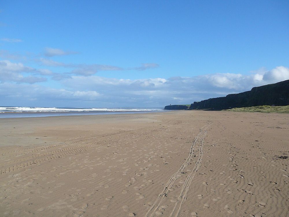
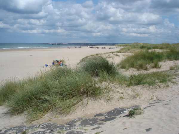
The open coastal setting at Benone Strand
The open coastal setting at Benone Strand. Resized from the credited source; appearance and access may have changed. Photo: Bjmullan (talk) ↗ · CC BY-SA 3.0

coast

Benone Strand

Benone is a beach for breathing space: broad sand, an open horizon and the coastline continuing towards Downhill. Its scale is the attraction, so a simple shore walk often makes more sense than a crowded…

Open place page →
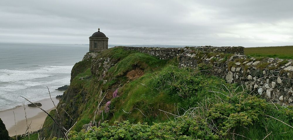
Mussenden Temple above the County Derry coast
Mussenden Temple above the County Derry coast. Resized from the credited source; appearance and access may have changed. Photo: Z thomas ↗ · CC BY-SA 4.0

heritage

Mussenden Temple and Downhill Demesne

Mussenden Temple is striking because of its position, but Downhill Demesne supplies the larger story. The small circular building, ruined house and open coast form one landscape that deserves more than a…

Open place page →
Castlerock Beach looking towards Portstewart.
Castlerock Beach looking towards Portstewart. Photo: Kay Atherton ↗ · CC BY-SA 2.0

coast

Castlerock Beach

Castlerock Beach runs between the Downhill cliffs and the River Bann estuary, with sand, dunes and a village setting close behind. Boardwalks provide access through the dunes, while the promenade offers…

Open place page →
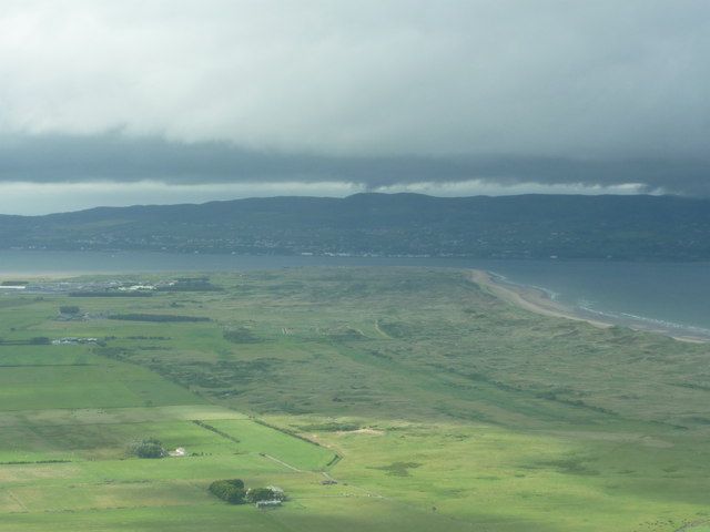
Magilligan Point viewed from Gortmore
Magilligan Point viewed from Gortmore. Credited source photograph; appearance and access may have changed. Resized from the original. Photo: Carroll Pierce ↗ · CC BY-SA 2.0

coast

Magilligan Point

Magilligan Point is an edge-of-the-map kind of stop: flat open shore, Lough Foyle ahead and the Donegal side clearly part of the view. It rewards a pause more than a long list of activities.

Open place page →
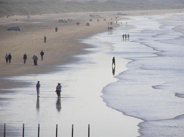
Walkers on the wide sandy beach at Portstewart Strand
Walkers on the wide sandy beach at Portstewart Strand. Source photograph dated 2005. Resized from the credited source; appearance and access may have changed. Photo: Kenneth Allen ↗ · CC BY-SA 2.0

coast

Portstewart Strand

Portstewart Strand is a substantial beach landscape, with dunes and open sand rather than a small enclosed cove. Its appeal is the room for a proper shore walk, but access and vehicle arrangements shape the…

Open place page →

External visitor reviews

Find the matching listing and reviews on Google Maps ↗

Part of a bigger journey

Location & access

Getting your bearings

An exposed viewpoint on a steep scenic-road approach; distant views are weather-dependent.

55.14935, -6.87744 · Reference point; confirm the correct entrance and access. Map © OpenStreetMap contributors.

Orientation only: a verified public entrance is not established by this pin. Use the operator arrival information before travel.

Sources & place context

Browse more Ireland places →