Earthwork mound
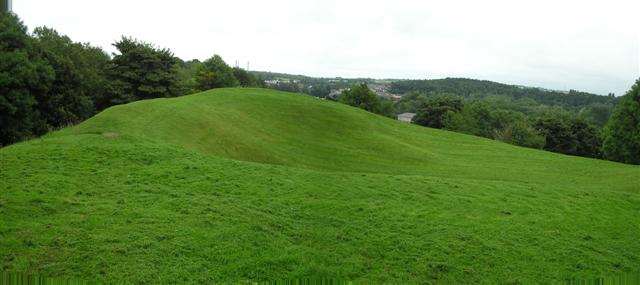
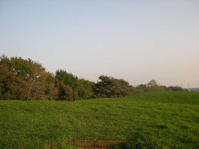
Observe the mound, surrounding ditch and summit shape from the permitted paths. The visible feature is usually interpreted as a later fortified site, not an intact prehistoric camp.

heritage · Derry/Londonderry
Mountsandel Fort rises within woodland above the River Bann at Coleraine. The visible earthwork belongs to a much later period than the nearby Mesolithic settlement evidence for which Mountsandel is famous. A visit combines a wooded walk, river views and archaeological interpretation, with the distinction between those different layers kept clear.
From research
Choose it for a short woodland heritage walk rather than a display of reconstructed prehistoric houses. Look at the earthwork and then relate it to the river below. The early settlement story is important, but the large mound should not be described as a fort built by the first Stone Age inhabitants.
Know before you book: The earthwork and nearby early settlement evidence are different archaeological features. Woodland paths and river-side ground require care in wet weather.
Place highlights
Observe the mound, surrounding ditch and summit shape from the permitted paths. The visible feature is usually interpreted as a later fortified site, not an intact prehistoric camp.
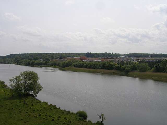
Look at the fort’s commanding relationship with the Bann. Views towards the river and surrounding woods help explain why this location mattered to people in more than one historical period.
Use the signed paths to combine the monument with a manageable walk. Choose the route for your time and mobility, and keep river edges, slopes and slippery surfaces in mind rather than assuming every path is level.
The story behind the visit
Archaeological finds in Mountsandel Wood provide evidence of very early settlement, with flint tools associated with people using the river’s resources. The Department for Communities dates that activity to the Mesolithic period. That early human presence is a different layer of the landscape from the large earthen fort visible today. Source ↗
The fort’s mound and ditch are thought to relate to Anglo-Norman activity, with possible later modification. Its precise development is interpreted from the surviving form rather than a complete written history. The walk therefore offers an opportunity to separate archaeological periods instead of compressing everything into a single oldest-settlement claim. A careful circuit takes in the earthwork and river setting while leaving the uncertain details as questions rather than treating every explanation as proven. The value of the setting comes partly from those differences in date: one landscape can preserve evidence of people using it in very different ways. Source ↗
Visitor information
Use the public woodland approach from Mountsandel Road in Coleraine, BT52 1TL. Follow local route signs and choose a circuit that returns to the same arrival point. Official visitor information ↗
Confirm current access and visitor arrangements with the operator.
No. The early settlement evidence and the later earthwork represent different periods. Source ↗
Plan an outdoor archaeological and woodland visit rather than a reconstructed village attraction. Source ↗
Nearby options
Explore other places in the area, then use live directions to plan your journey.
coast
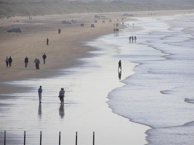
Portstewart Strand is a substantial beach landscape, with dunes and open sand rather than a small enclosed cove. Its appeal is the room for a proper shore walk, but access and vehicle arrangements shape the…
Open place page →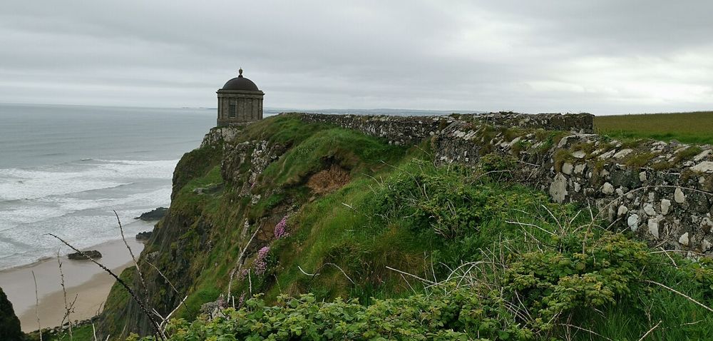
heritage
Mussenden Temple is striking because of its position, but Downhill Demesne supplies the larger story. The small circular building, ruined house and open coast form one landscape that deserves more than a…
Open place page →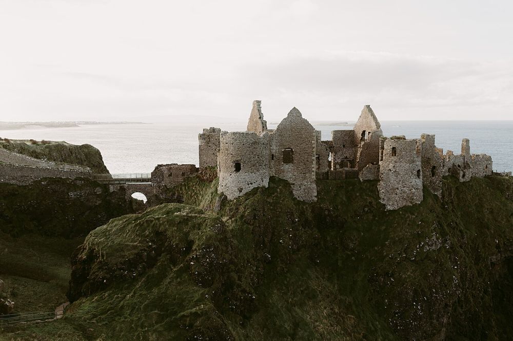
heritage
Dunluce is a ruin with a very legible geography: a castle gripping a rocky coastal outcrop, separated from the mainland by a narrow approach. The setting is compelling before you know the family names.
Open place page →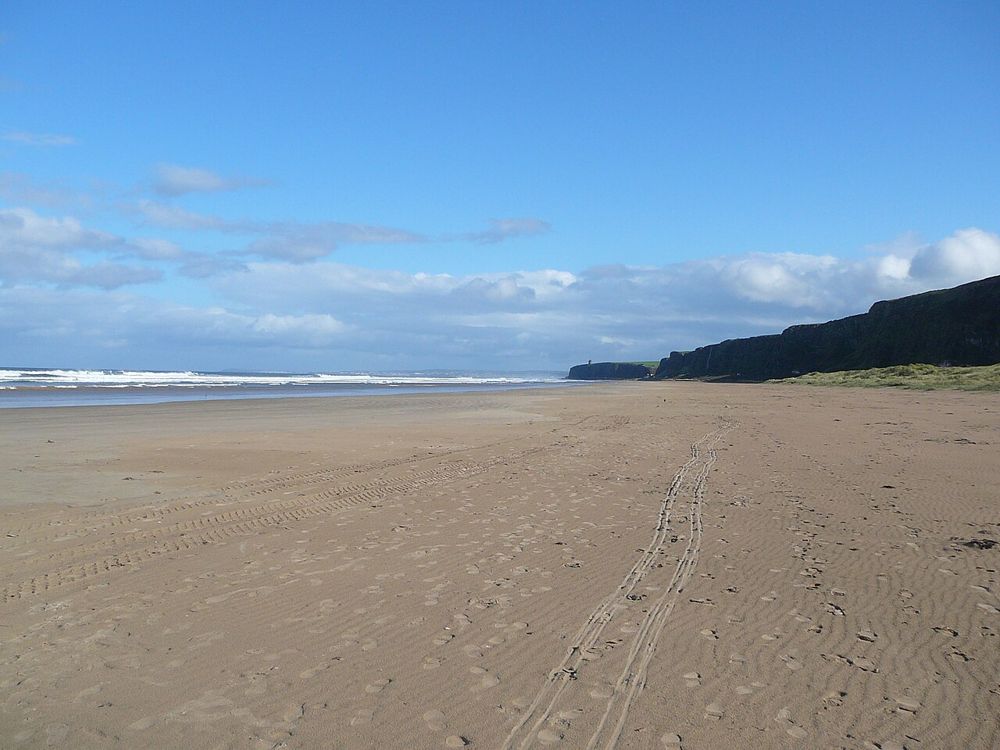
coast
Benone is a beach for breathing space: broad sand, an open horizon and the coastline continuing towards Downhill. Its scale is the attraction, so a simple shore walk often makes more sense than a crowded…
Open place page →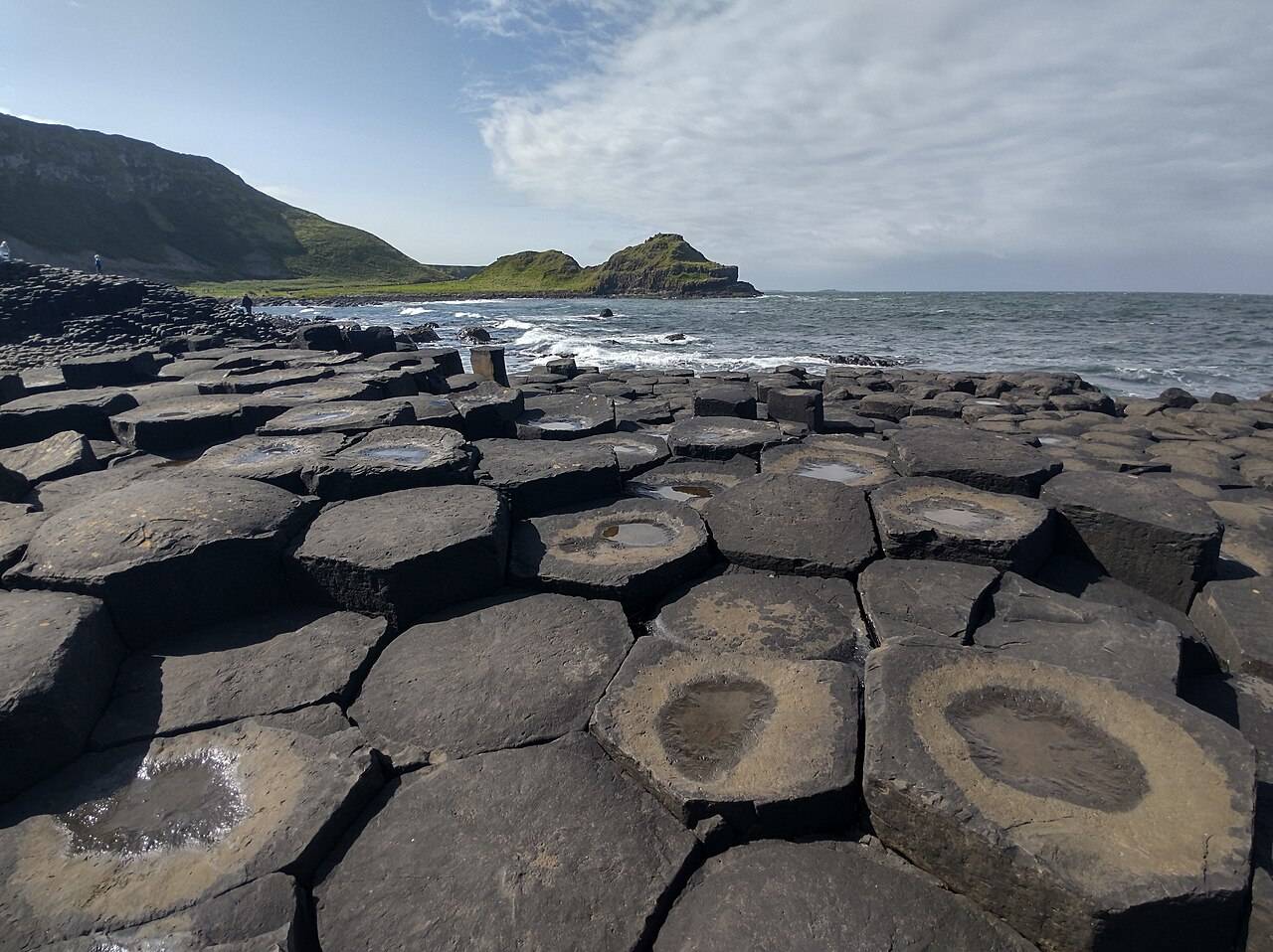
coast
The Giant’s Causeway combines an extraordinary basalt shoreline with a managed visitor experience. Decide how you will arrive and which services you want before travelling.
Open place page →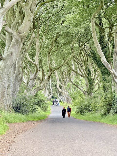
nature
The Dark Hedges is a short avenue, not a forest hike. Its attraction is the way mature beech limbs lean across the road, producing a tunnel whose appearance changes with light, weather and the remaining trees.
Open place page →Location & access
The earthwork and nearby early settlement evidence are different archaeological features. Woodland paths and river-side ground require care in wet weather.
55.11621, -6.66396 · Reference point; confirm the correct entrance and access. Map © OpenStreetMap contributors.
Orientation only: a verified public entrance is not established by this pin. Use the operator arrival information before travel.