Skip to content
TheLazyNick

heritage · Kerry

Staigue Fort

Staigue Fort is a massive dry-stone enclosure above a valley near Castlecove on the Iveragh Peninsula. Thick walls, a narrow entrance and the surrounding hills give the visit its force. Approach it as a remarkable surviving structure whose exact date and original purpose remain less certain than its imposing appearance suggests.

Add to planSaved trips & places

Saved on this browser. No account needed.

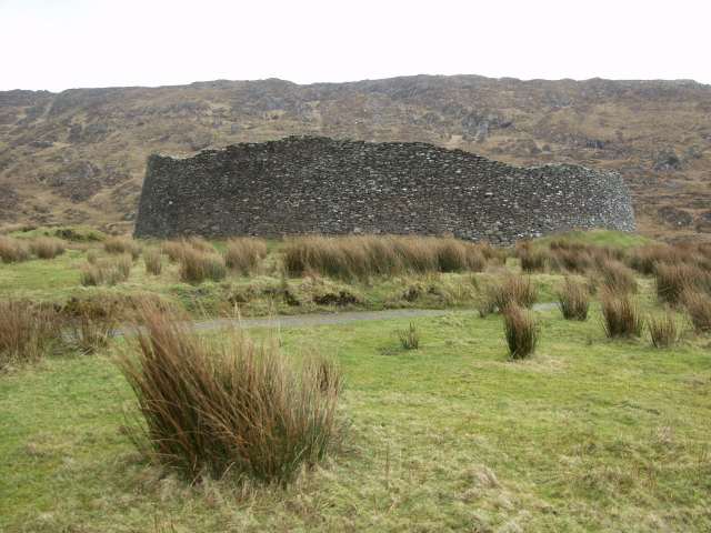
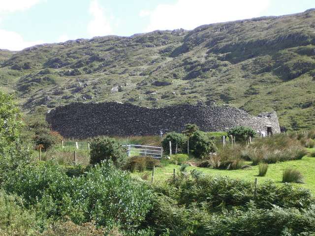
Staigue Fort among the surrounding hills
Staigue Fort among the surrounding hills. Resized for display. Photo: Dafydd Humphreys ↗ · CC BY-SA 2.0

From research

Is this worth your time?

Choose it for close observation of stone construction and a short heritage stop away from the main Ring of Kerry road. It rewards time at ground level, looking at the entrance and wall faces. Keep the visit flexible if the approach or exposed ground is wet.

Know before you book: Uneven surfaces and unguarded historic masonry require care. The presence of steps in the walls does not establish that climbing is permitted or safe.

Place highlights

What you will actually see

01

Dry-stone walls

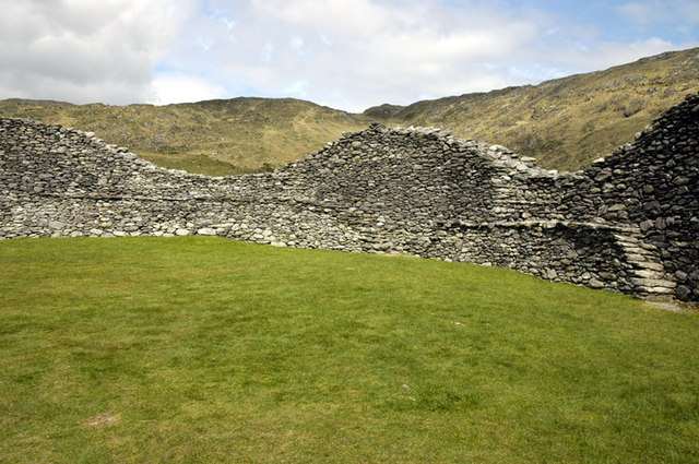
Look at the courses of stone and the great thickness of the enclosure. The structure depends on carefully assembled masonry rather than mortar, making the wall faces and entrance particularly useful places to appreciate the builders’ practical skill.

02

Entrance and enclosure

Enter only where the current route permits and notice the contrast between the confined passage and open centre. The empty interior is part of the experience: the wall dominates, while the original activities inside must be approached through interpretation.

03

Valley position

Pause to consider the surrounding hills and the line of the valley towards Kenmare Bay. The setting helps explain the fort’s visual impact, but an attractive viewpoint should not distract from watching your footing beside the monument.

The story behind the visit

The story behind the place

Staigue is a stone-built fort or cashel, constructed without mortar. Its walls incorporate chambers and internal steps, features that have prompted different explanations of how it was used. Published dates are not uniform, and the monument has not yielded a simple, universally settled construction date. It is more useful to recognise that uncertainty than to attach the visit to an exact year or an unsupported story about its inhabitants. Source ↗

The Discovery Programme records later use as a cattle pound and repairs by the Office of Public Works. That history matters when looking at apparently ancient masonry: the surviving structure combines original fabric with later intervention. Read it as a monument cared for and altered over time. Its impressive scale remains visible without assuming that every stone occupies an untouched original position or that the wall-top route is open to visitors. The visible fabric deserves attention precisely because its long use and repair complicate a simple origin story. Source ↗

Visitor information

Tickets, timing and access

Opening
OPW states that access is available during daylight hours.Confirm with the operator ↗
Admission
OPW notes an honesty box on site; follow the current local contribution arrangements.Confirm with the operator ↗
Booking
No regular guided departure is advertised. Arrange organised group or specialist visits separately.Confirm with the operator ↗
Access
OPW lists a walking-trail approach, uneven surfaces and uneven walkways. Use the gate and current visitor route.Confirm with the operator ↗
Duration
Allow 30–45 minutes, depending on conditions and interest.Confirm with the operator ↗
Seasonal
Exposed outdoor remains can be wet or slippery. Short winter daylight calls for a flexible plan.Confirm with the operator ↗

Getting to the entrance

Find the signed approach near Castlecove, off the Ring of Kerry. Allow time for the minor-road approach rather than treating it as a roadside pull-in. Official visitor information ↗

Your questions, answered

Confirm current access and visitor arrangements with the operator.

Can I explore independently?

This is an unguided visit. Stay within the access permitted by current signs and barriers. Source ↗

Can I climb the walls?

Do not assume the visible internal steps establish permission to climb. Follow current restrictions and keep the visit on permitted ground. Source ↗

Nearby options

Nearby places to explore

Explore other places in the area, then use live directions to plan your journey.

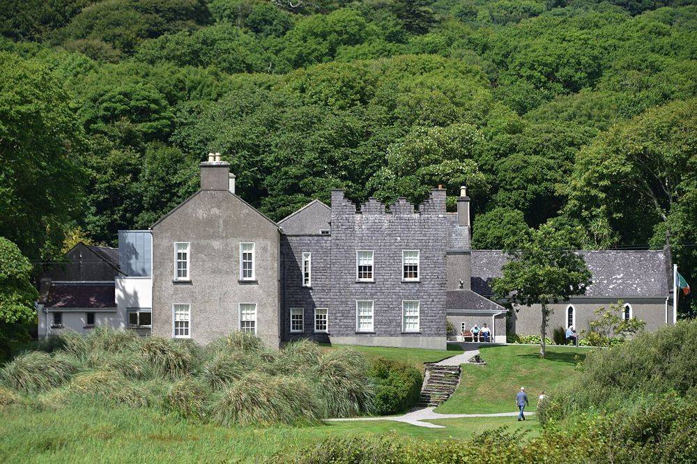
Derrynane House, Daniel O’Connell’s ancestral home
Derrynane House, Daniel O’Connell’s ancestral home. Source photograph; conditions and access may have changed. Resized from the credited original. Photo: August Schwerdfeger ↗ · CC BY 4.0

heritage

Derrynane House

Derrynane gives Daniel O’Connell a domestic setting. After the scale of the Ring of Kerry coast, the house’s rooms and personal objects bring the story back to one family and one political life. Leave some…

Open place page →
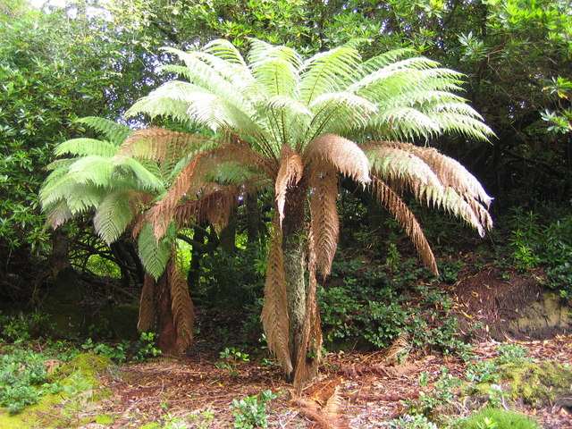
A third garden view at Derreen
A third garden view at Derreen. Source photograph: 2006-09-28. Appearance, displays and access may have changed. Photo: Nigel Cox ↗ · CC BY-SA 2.0

nature

Derreen Gardens

Derreen is a woodland garden at Lauragh on the Beara Peninsula, where winding paths pass through tree ferns, bamboo, rhododendrons and mature trees. Its sheltered, damp coastal setting is part of the…

Open place page →
Ballinskelligs Abbey beside the shore
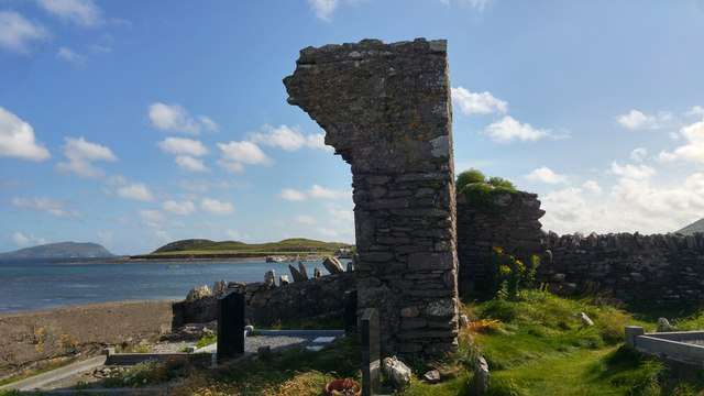
Ballinskelligs Abbey beside the shore. Resized for display. Photo: Phil Champion ↗ · CC BY-SA 2.0

heritage

Ballinskelligs Abbey

Ballinskelligs Abbey, also known as the Augustinian Priory, stands beside the bay in a setting closely connected with the Skelligs. The surviving church, cloister fragments and domestic remains make a…

Open place page →
Harbour on Bere Island
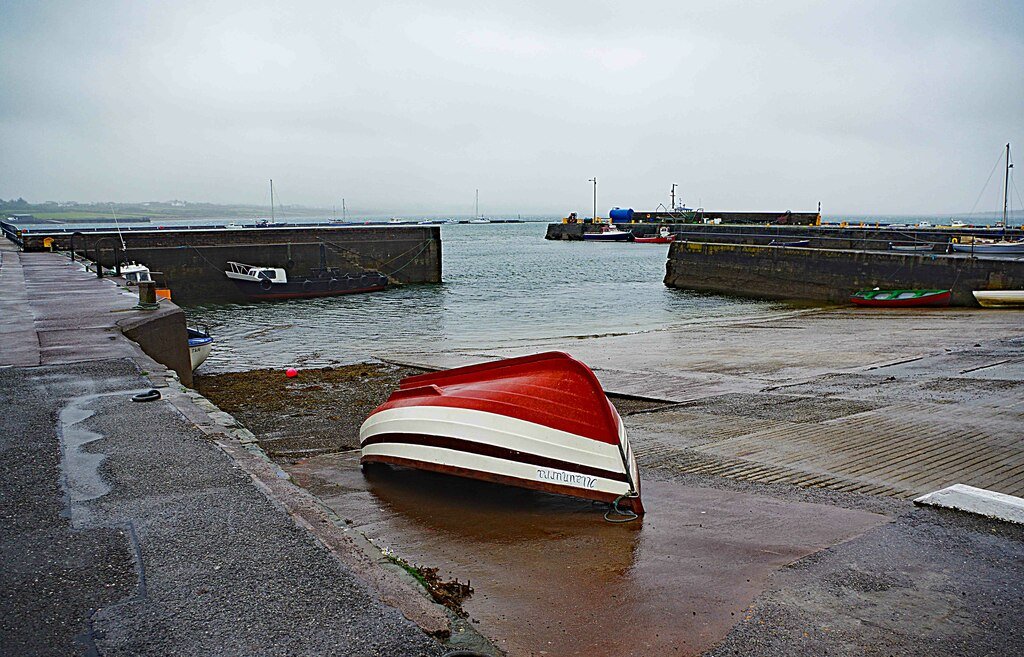
Harbour on Bere Island. Source photograph: 2016-10-23 17:39:45. Appearance, displays and access may have changed. Photo: Towel401 ↗ · CC BY-SA 4.0

nature

Bere Island

Bere Island lies at the entrance to Bantry Bay, with a living community, coastal roads, walking routes and a substantial military-heritage landscape. Two year-round car-ferry services connect it with the Beara…

Open place page →
Knightstown harbour on Valentia Island, photographed in September 2018
Knightstown harbour on Valentia Island, photographed in September 2018 Source photograph; conditions and access may have changed. Photo: P L Chadwick ↗ · CC BY-SA 2.0

coast

Valentia Island

Valentia works best as an island day with a theme, rather than a detour where every viewpoint has to be collected. Knightstown offers a harbour-side starting point; the cable story and the lighthouse give two…

Open place page →

External visitor reviews

Find the matching listing and reviews on Google Maps ↗

Part of a bigger journey

Location & access

Getting your bearings

Uneven surfaces and unguarded historic masonry require care. The presence of steps in the walls does not establish that climbing is permitted or safe.

51.80505, -10.01548 · Reference point; confirm the correct entrance and access. Map © OpenStreetMap contributors.

Orientation only: a verified public entrance is not established by this pin. Use the operator arrival information before travel.

Sources & place context

Browse more Ireland places →