Rerrin and roads
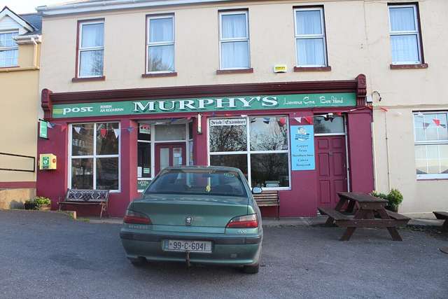
Use the eastern village and permitted island roads to experience a living place. Respect residents and working traffic, even when a route looks quiet.

nature · Cork
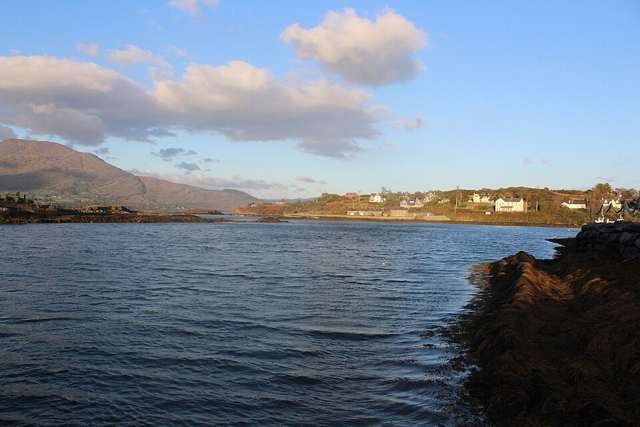
Bere Island lies at the entrance to Bantry Bay, with a living community, coastal roads, walking routes and a substantial military-heritage landscape. Two year-round car-ferry services connect it with the Beara mainland. An island visit is best planned around the arrival pier, a manageable route and the confirmed return rather than trying to include every historic feature.
From research
Choose it for a quieter West Cork day combining island scenery with traces of defence and settlement. Walkers can choose between different routes, but the terrain is not uniformly easy. Heritage-centre and battery access are separate questions; the island’s public offer does not make every military or private property open.
Know before you book: Two year-round car ferries operate, subject to current timetables and conditions. Heritage Centre opening is currently by arrangement only.
Place highlights
Use the eastern village and permitted island roads to experience a living place. Respect residents and working traffic, even when a route looks quiet.
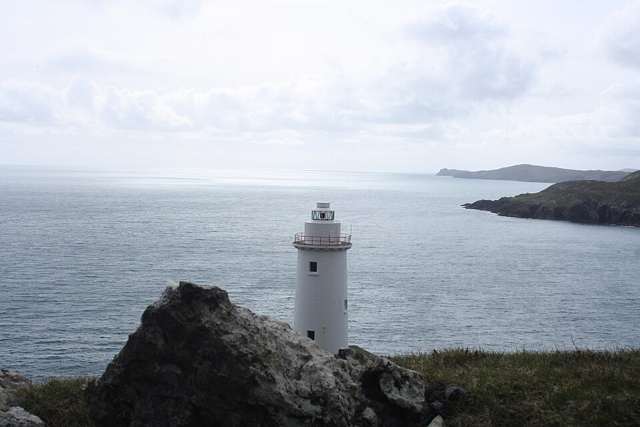
Look for military features from authorised routes and viewpoints. Battery tours and entrances require their own confirmation; an island ferry ticket is not permission to enter every fortification.
Select a route suited to your arrival pier and available time. The community map distinguishes easier road-based walking from steeper ground, so choose deliberately instead of assuming one island-wide difficulty grade. Check the community route map and your arrival pier together before committing to a longer walking circuit.
The story behind the visit
Bere Island’s position at the entrance to Bantry Bay shaped its strategic history. Surviving defensive features include Martello towers and later battery sites, while the community’s interpretation also records older harbour and settlement evidence. Those layers are best understood as a landscape spread across an inhabited island, not a single open-air museum with one controlled entrance. Source ↗
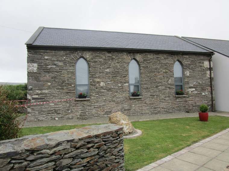
The island’s community website provides route information and distinguishes the main visitor facilities. It describes the former Ballinakilla school as the Heritage and Information Centre, currently open by arrangement, and identifies Lonehort Battery as a separate military site. That practical distinction helps prevent overpromising a day trip. A planned walk on authorised routes can be the core experience, with indoor interpretation or a guided battery visit added only when specifically confirmed. The separate arrival points make careful planning useful: choosing a route on the map is only the start, and its connection with the right ferry determines a practical day. Source ↗
Visitor information
Choose the appropriate ferry from Castletownbere or the Pontoon and confirm which island pier it serves. Plan the walking route and return around that arrival point, not just the nearest map label. Official visitor information ↗
Confirm current access and visitor arrangements with the operator.
The community lists two car-ferry services; confirm the chosen operator’s current terms and queue arrangements. Source ↗
No. The island website currently says opening is by arrangement only. Source ↗
Nearby options
Explore other places in the area, then use live directions to plan your journey.
heritage
An indoor introduction to Allihies’ copper-mining past on the Beara Peninsula, exploring the machinery, work and social conditions behind the engine-house remains visible in the surrounding landscape.
Open place page →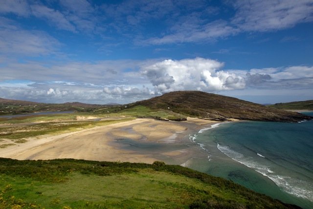
attraction
Choose Barleycove for an open beach visit after a more structured stop. A walk, a pause on the sand and time looking back at the dunes can give the day a different rhythm without requiring another ticket.
Open place page →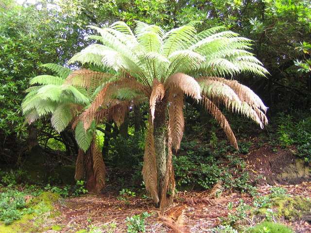
nature
Derreen is a woodland garden at Lauragh on the Beara Peninsula, where winding paths pass through tree ferns, bamboo, rhododendrons and mature trees. Its sheltered, damp coastal setting is part of the…
Open place page →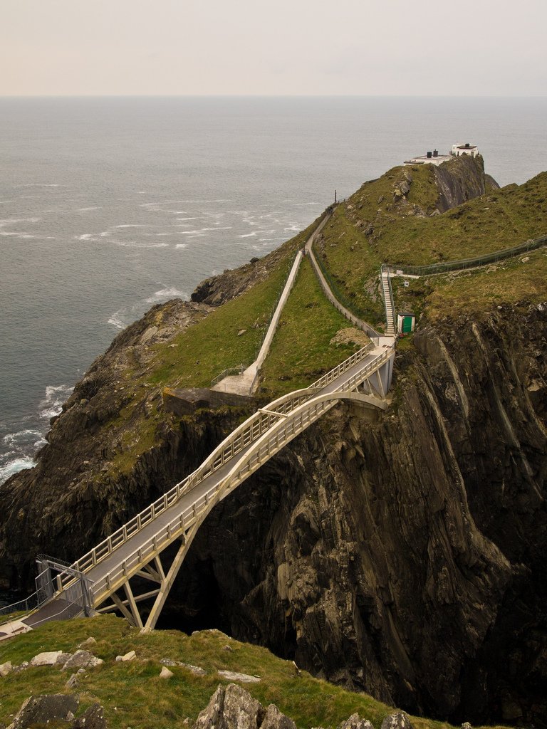
attraction
Give Mizen Head time for both the approach across the bridge and the signal-station story. The sea is the setting, but the effort to warn shipping and the people who worked here give the visit its purpose.
Open place page →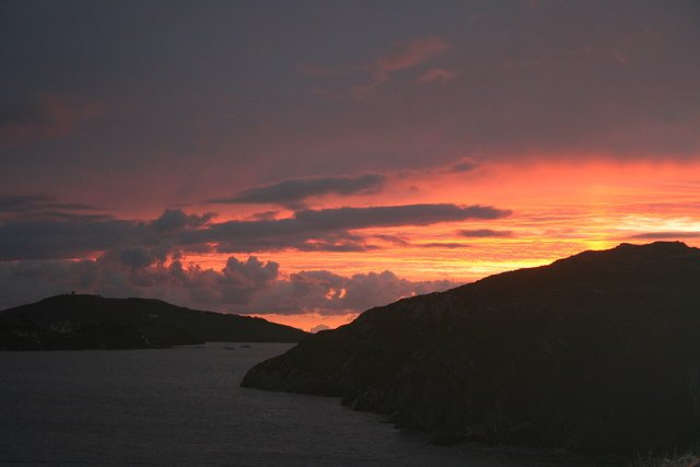
attraction
Choose Crookhaven for a harbour pause after the exposed parts of the peninsula. Give yourself time to look at boats and the relationship between the water and the village, rather than making it only a place to…
Open place page →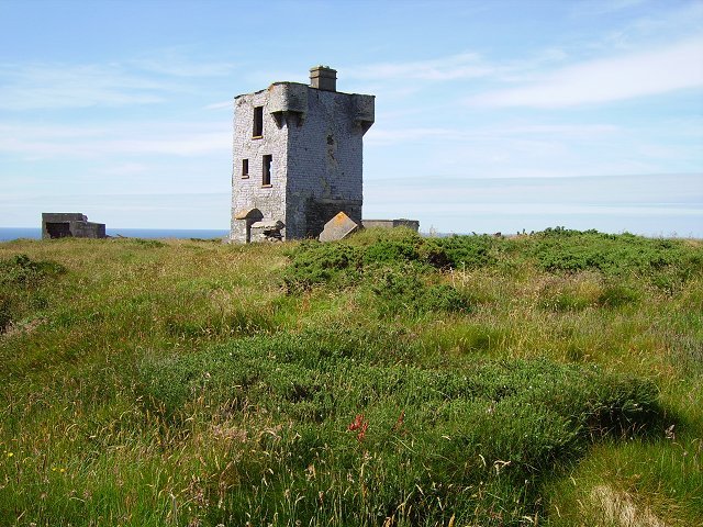
attraction
Choose Brow Head for a more exposed landscape visit, with the former signalling structures providing context. Make the approach and visibility part of the decision; this is not simply another managed viewpoint…
Open place page →Location & access
Two year-round car ferries operate, subject to current timetables and conditions. Heritage Centre opening is currently by arrangement only.
51.63047, -9.86345 · Reference point; confirm the correct entrance and access. Map © OpenStreetMap contributors.
Orientation only: a verified public entrance is not established by this pin. Use the operator arrival information before travel.