Skip to content
TheLazyNick

nature · Derry/Londonderry

St Columb's Park

St Columb’s Park is a large public park on Derry’s Waterside, combining wooded paths, a walled garden and historic remains with everyday recreation. The grounds include a manor house setting and a statue of Saint Columba. This is a park visit rather than a promise of access inside the house, leisure centre or other separately managed facilities.

Add to planSaved trips & places

Saved on this browser. No account needed.

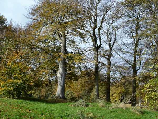
Beech trees in St Columb’s Park, Derry.
Beech trees in St Columb’s Park, Derry. Photo: Kay Atherton ↗ · CC BY-SA 2.0

From research

Is this worth your time?

Choose St Columb’s Park for an unhurried outdoor break away from the city-centre streets. A short woodland-and-garden circuit can stand alone, while a longer signed loop connects towards Ebrington. Keep the route manageable and check gates or activity arrangements locally rather than assuming that every facility shares one opening schedule.

Know before you book: Park grounds and separately operated buildings or activities have different access arrangements.

Place highlights

What you will actually see

01

Wooded walkways

The park’s trees create a quieter setting within the Waterside, with paths suitable for a flexible circuit. Read the route signs and choose the distance before setting out. Shared paths may also carry cyclists, so pause where there is space rather than blocking a junction.

02

Garden and historic setting

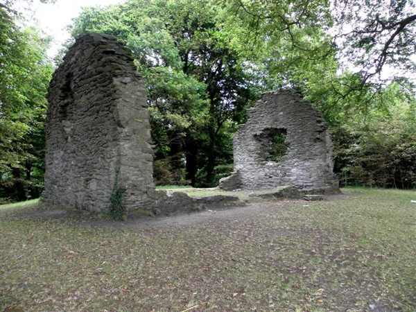
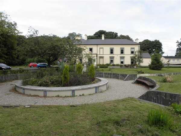
A walled garden, ruined medieval church and the eighteenth-century house add layers to the landscape. Observe them from the public visitor areas. Their presence within a park does not make every doorway or enclosed space available for casual entry.

03

Public park life

The Columba statue, play area and open recreation spaces show the park’s role in the city today. Let the group’s interests shape the visit without trying to use every facility. Sports, leisure-centre activities and events can require their own information or booking.

The story behind the visit

The story behind the place

The park takes its name from Saint Columba, the city’s patron saint, whose statue gives the grounds a visible connection with that identity. The ruined church and later manor-house setting represent different periods, while modern paths and recreation add further uses. A walk can notice those layers without treating the whole place as a preserved estate frozen at one date. Source ↗

The official visitor information also describes a loop through Ebrington and the Waterside greenway. That is an optional wider route, not the only way to enjoy the park itself. Staying with the trees, garden and historic setting may suit a shorter visit, especially when daylight or energy is limited. The buildings remain places with their own purposes, and the paths are shared with local users. Leave room for that everyday activity: a public park is most welcoming when visitors use its routes considerately and do not assume that an attractive building must be an open house tour. Source ↗

Visitor information

Tickets, timing and access

Opening
Check current park notices and any separately gated garden or building hours.Confirm with the operator ↗
Admission
No general park admission ticket is advertised.Confirm with the operator ↗
Booking
Book organised activities and building visits separately when required.Confirm with the operator ↗
Access
Use signed public paths; building interiors are not assumed open.Confirm with the operator ↗
Duration
Allow 45–75 minutes for a park circuit.Confirm with the operator ↗
Seasonal
Daylight, weather and events can change the available route.Confirm with the operator ↗

Getting to the entrance

The main visitor approach is from Limavady Road on the Waterside; use the signed park entrances and route maps. Official visitor information ↗

Your questions, answered

Confirm current access and visitor arrangements with the operator.

Does a park visit include the manor house?

No. Check the house’s own arrangements if you want to enter. Source ↗

Must I walk the Ebrington loop?

No. A shorter visit within the park is a complete option. Source ↗

Nearby options

Nearby places to explore

Explore other places in the area, then use live directions to plan your journey.

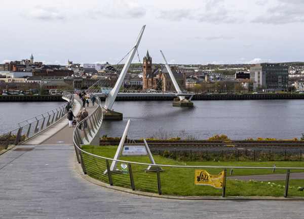
The Peace Bridge crossing the River Foyle in Derry.
The Peace Bridge crossing the River Foyle in Derry. Photo: Rossographer ↗ · CC BY-SA 2.0

attraction

Peace Bridge

The Peace Bridge crosses the River Foyle between Derry’s city-centre side and Ebrington, combining a practical pedestrian link with a striking curved design. Opened in 2011, it has become a recognisable part…

Open place page →
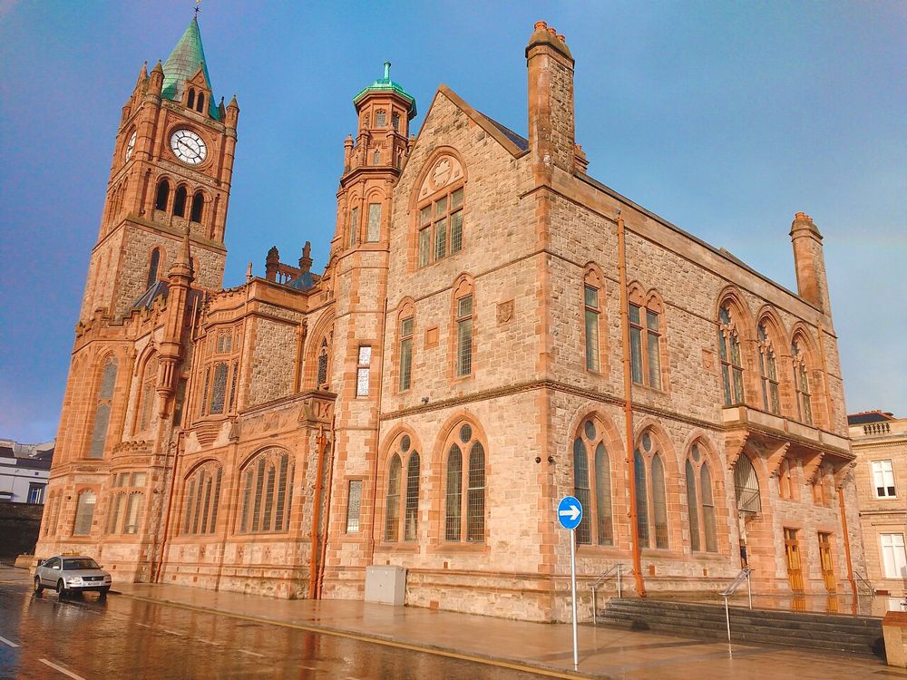
The Guildhall in Derry
The Guildhall in Derry. Credited source photograph; appearance and access may have changed. Resized from the original. Photo: Udit Kapoor ↗ · CC BY-SA 4.0

heritage

Derry Guildhall

The Guildhall is an easy building to admire from the square and a more rewarding one to enter. Its stained glass, organ and civic rooms add texture to a Derry day dominated by the walls and river.

Open place page →
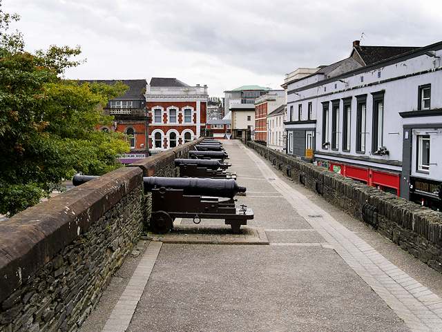
Historic city walls in Derry
Historic city walls in Derry. Source photograph; current access and conditions may differ. Photo: SeanMack ↗ · Public domain

city

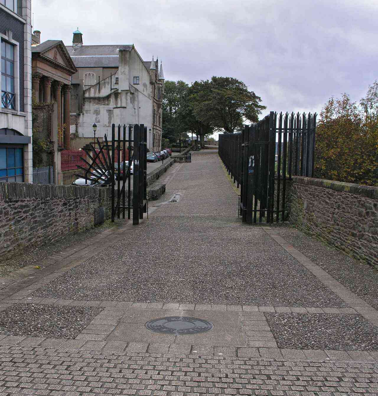
Derry~Londonderry

Derry offers a compact city visit organised around its walls, river and layered history. A considered walk and one chosen museum or guided tour make a coherent first day.

Open place page →
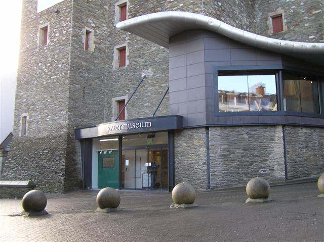
The Tower Museum entrance in Derry.
The Tower Museum entrance in Derry. Photo: Kenneth Allen ↗ · CC BY-SA 2.0

heritage

Tower Museum

The Tower Museum remains a visitor stop inside Derry’s walls, but its offer is changing. The Derry Girls Experience continues while the long-running Story of Derry exhibition has closed ahead of the planned…

Open place page →
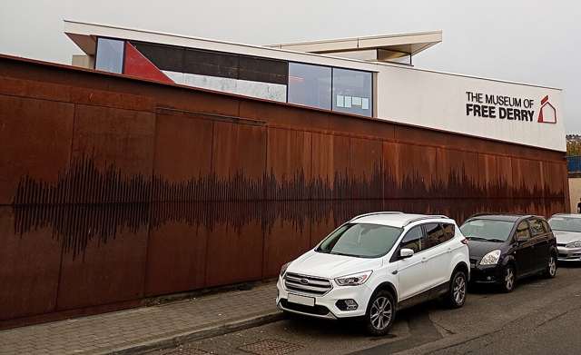
Museum of Free Derry building in the Bogside
Museum of Free Derry building in the Bogside. Source photograph: 2025-10-04. Appearance, displays and access may have changed. Photo: FDW777 ↗ · CC BY 4.0

heritage

Museum of Free Derry

The Museum of Free Derry tells the history of the Bogside community through the civil-rights era and the events of 1968–1972. Its Glenfada Park location is integral to the subject, particularly Bloody Sunday.…

Open place page →

External visitor reviews

Find the matching listing and reviews on Google Maps ↗

Part of a bigger journey

Location & access

Getting your bearings

Park grounds and separately operated buildings or activities have different access arrangements.

55.00242, -7.31059 · Reference point; confirm the correct entrance and access. Map © OpenStreetMap contributors.

Orientation only: a verified public entrance is not established by this pin. Use the operator arrival information before travel.

Sources & place context

Browse more Ireland places →