Skip to content
TheLazyNick

attraction · Derry/Londonderry

Peace Bridge

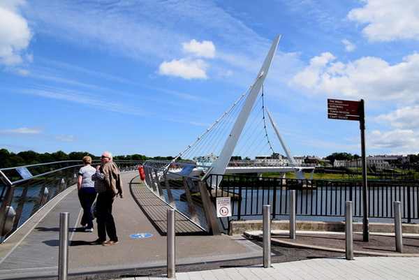
The Peace Bridge crosses the River Foyle between Derry’s city-centre side and Ebrington, combining a practical pedestrian link with a striking curved design. Opened in 2011, it has become a recognisable part of the city. A walk across offers a river-level perspective distinct from the historic walls and their gates.

Add to planSaved trips & places

Saved on this browser. No account needed.

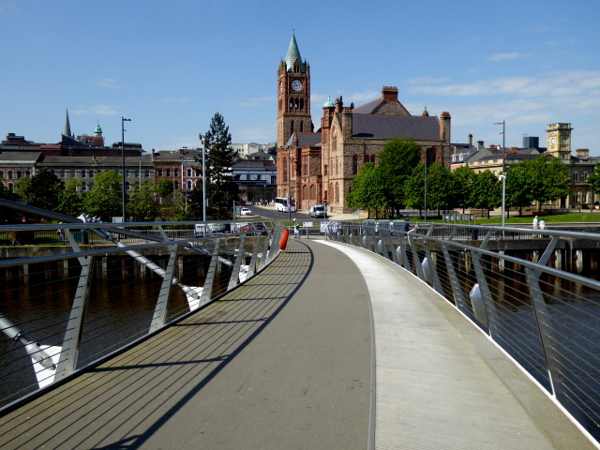
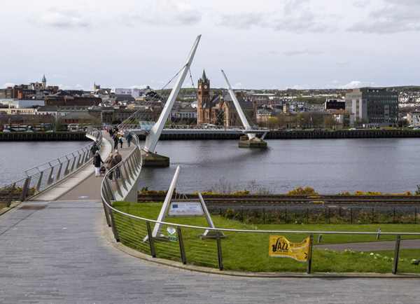
The Peace Bridge crossing the River Foyle in Derry.
The Peace Bridge crossing the River Foyle in Derry. Photo: Rossographer ↗ · CC BY-SA 2.0

From research

Is this worth your time?

Choose the bridge for a short city walk that connects two sides of the river and leaves time to pause over the water. It can fit between other visits without needing a guided tour. Keep the crossing clear for everyday users, and treat photographs, stops and any continuation into Ebrington as parts of a shared public route.

Know before you book: A working public crossing; wind, events or maintenance can affect the experience.

Place highlights

What you will actually see

01

Curved crossing

The bridge’s changing alignment is easiest to appreciate while walking across it rather than from one bank alone. Notice how the view shifts between the city and Ebrington. Pause where there is room, leaving a clear route for people who are simply crossing the river.

02

River outlook

The Foyle gives the walk a broad open setting, with the city’s buildings and riverside changing with your position. Stay within the bridge’s public route and do not lean beyond barriers for a photograph. Weather can make the exposed crossing feel very different from sheltered streets.

03

Two-bank connection

The bridge links the city-centre side near the Guildhall with Ebrington Square. Those are useful starting and finishing points, but each area has its own attractions and access arrangements. Crossing the bridge does not include admission to museums, events or private venues on either side.

The story behind the visit

The story behind the place

The bridge opened on 25 June 2011, adding a new connection across the Foyle. Its design involved AECOM and WilkinsonEyre, and its form quickly became part of the city’s visual identity. The official tourism account emphasises both its practical role and its symbolic story, a combination worth remembering when the bridge appears in photographs as a landmark alone. Source ↗

Walking the crossing makes that practical role visible. Residents, commuters and visitors use the same space, so a sightseeing pause needs to fit around ordinary movement. The view also differs from the city walls: instead of looking out from a historic defensive circuit, you are moving between riverbanks on a modern connection. Keep those experiences distinct rather than assuming one replaces the other. A short return walk can be enough, or you can continue into Ebrington as a separate part of the day. Allow weather and available time to decide, without turning a simple crossing into an overfilled itinerary. Source ↗

Visitor information

Tickets, timing and access

Opening
Use the public crossing and obey any temporary event or maintenance restrictions.Confirm with the operator ↗
Admission
No crossing admission ticket is advertised.Confirm with the operator ↗
Booking
No ordinary pedestrian booking is required.Confirm with the operator ↗
Access
Shared public route; keep passage clear and follow signs.Confirm with the operator ↗
Duration
Allow 20–30 minutes for a crossing and short pauses.Confirm with the operator ↗
Seasonal
The river crossing can be exposed to wind and rain.Confirm with the operator ↗

Getting to the entrance

Approach from the city-centre riverfront near the Guildhall or from Ebrington on the Waterside. Official visitor information ↗

Your questions, answered

Confirm current access and visitor arrangements with the operator.

Is the bridge part of the old city walls?

No. It is a modern river crossing opened in 2011. Source ↗

Can I use it without a guided tour?

Yes. It is a public link between the two riverbanks. Source ↗

Nearby options

Nearby places to explore

Explore other places in the area, then use live directions to plan your journey.

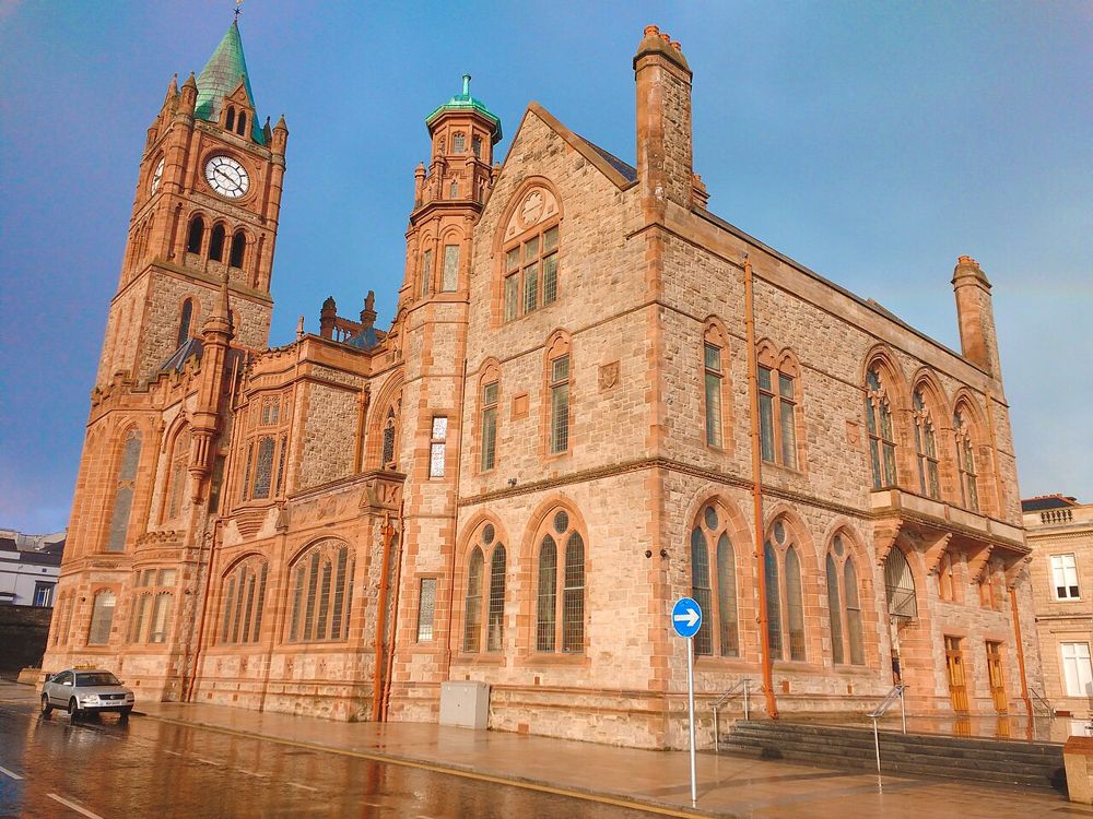
The Guildhall in Derry
The Guildhall in Derry. Credited source photograph; appearance and access may have changed. Resized from the original. Photo: Udit Kapoor ↗ · CC BY-SA 4.0

heritage

Derry Guildhall

The Guildhall is an easy building to admire from the square and a more rewarding one to enter. Its stained glass, organ and civic rooms add texture to a Derry day dominated by the walls and river.

Open place page →
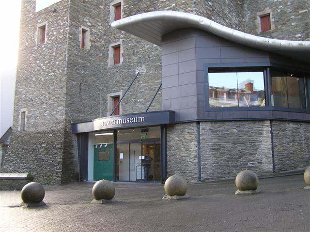
The Tower Museum entrance in Derry.
The Tower Museum entrance in Derry. Photo: Kenneth Allen ↗ · CC BY-SA 2.0

heritage

Tower Museum

The Tower Museum remains a visitor stop inside Derry’s walls, but its offer is changing. The Derry Girls Experience continues while the long-running Story of Derry exhibition has closed ahead of the planned…

Open place page →
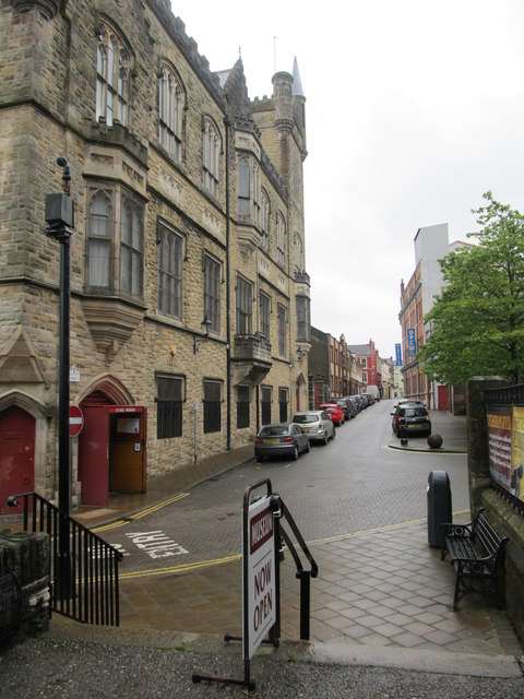
Society Street with the Siege Museum building in Derry
Society Street with the Siege Museum building in Derry. Historical source photograph; wider setting rather than the museum interior. Appearance, displays and access may have changed. Photo: Eric Jones ↗ · CC BY-SA 2.0

heritage

The Siege Museum

The Siege Museum provides an indoor introduction to the 1689 siege and the traditions of the Apprentice Boys in Derry’s walled centre. Artefacts, film and interpretation bring together military events and…

Open place page →
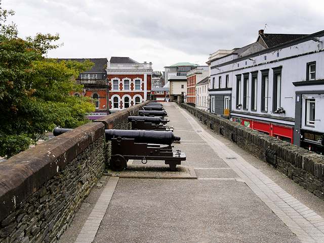
Historic city walls in Derry
Historic city walls in Derry. Source photograph; current access and conditions may differ. Photo: SeanMack ↗ · Public domain

city

Derry~Londonderry

Derry offers a compact city visit organised around its walls, river and layered history. A considered walk and one chosen museum or guided tour make a coherent first day.

Open place page →
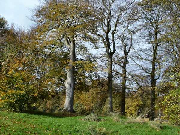
Beech trees in St Columb’s Park, Derry.
Beech trees in St Columb’s Park, Derry. Photo: Kay Atherton ↗ · CC BY-SA 2.0

nature

St Columb's Park

St Columb’s Park is a large public park on Derry’s Waterside, combining wooded paths, a walled garden and historic remains with everyday recreation. The grounds include a manor house setting and a statue of…

Open place page →

External visitor reviews

Find the matching listing and reviews on Google Maps ↗

Part of a bigger journey

Location & access

Getting your bearings

A working public crossing; wind, events or maintenance can affect the experience.

54.99790, -7.31595 · Reference point; confirm the correct entrance and access. Map © OpenStreetMap contributors.

Orientation only: a verified public entrance is not established by this pin. Use the operator arrival information before travel.

Sources & place context

Browse more Ireland places →