Skip to content
TheLazyNick

heritage · Derry/Londonderry

Derry’s 17th-century City Walls

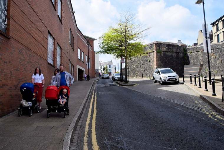
The walls make the historic shape of Derry legible from above street level. Built in the early seventeenth century, the circuit links gates and bastions around the old city, with changing views into streets and out across the surrounding landscape. Walk slowly enough to read the structure and look back into the city; the route is more than a viewpoint.

Add to planSaved trips & places

Saved on this browser. No account needed.

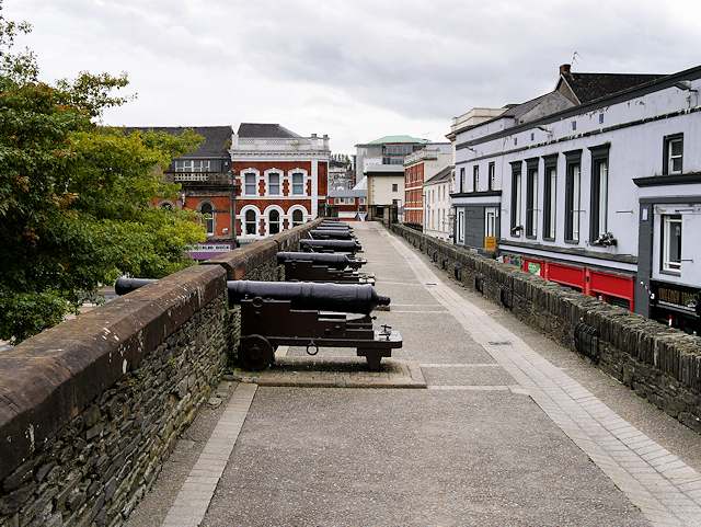
Cannons on Derry’s city walls overlooking Shipquay Street.
Cannons on Derry’s city walls overlooking Shipquay Street. Photo: David Dixon ↗ · CC BY-SA 2.0

From research

Is this worth your time?

Choose the walls as a way to understand the shape of the historic city on foot. Leave time to stop at viewpoints and gateways; the circuit is more useful as an introduction to Derry than as a distance to complete quickly.

Know before you book: Exposed outdoor walkway; works may restrict access. Check current site notices.

Place highlights

What you will actually see

01

Gates as layers of time

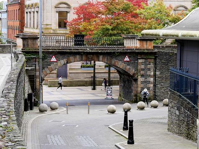
At Shipquay Gate, the present arch dates from 1805 although the gateway is one of the original four locations. That difference between a historic opening and its later architecture is a useful way to read other parts of the circuit. Watch for how streets approach and pass through the walls.

02

Bastions and cannon

The projecting bastions and surviving cannon make the military purpose tangible. Council conservation work also shows that the objects require continuing care, including their replica carriages. Consider the position and direction of the defences, then turn back towards the city: the same route now supports very different uses.

The story behind the visit

Reading a fortified city as it changed

The walls were constructed between 1613 and 1618 as part of a planned fortified settlement. Their survival makes it possible to examine the relationship between the defensive perimeter and the city inside it. Bastions, gates and the walkway belong to a system rather than a collection of isolated monuments. Following their changing directions helps explain the strategic importance of the site and the organisation of its enclosed streets. Source ↗

The gates also show that the walls continued to change after their initial construction. Four gate locations belong to the original circuit, while three others were added later. Some familiar arches are later replacements rather than untouched seventeenth-century structures. This distinction makes a walk more rewarding: the monument preserves continuity of place while also recording adaptations made for movement, commemoration and the changing needs of the city. Source ↗

Visitor information

Tickets, timing and access

Opening and seasonal access
Public access is subject to temporary works restrictions. Check current notices and access arrangements before visiting.Confirm with the operator ↗
Admission
DfC lists free entry.Confirm with the operator ↗
Booking
No booking requirement identified for the public wall walk; organised guided products have separate arrangements.Confirm with the operator ↗
Physical access
Check a suitable entry and route if you need step-free access; the full circuit may not suit your requirements.Confirm with the operator ↗
Time to allow
The wall circuit is approximately 1.5 km; allow time to stop at the gates, bastions and views.Confirm with the operator ↗
Seasonal notes
Exposed outdoor walkway; works may restrict access. Check current site notices.Confirm with the operator ↗

Getting to the entrance

In the historic city centre. The visitor address is 1–3 Waterloo Place, Derry BT 48 6BT; use a signed access point onto the walls. Official visitor information ↗

Your questions, answered

Confirm current access and visitor arrangements with the operator.

Do I need to book this visit?

No booking requirement identified for the public wall walk; organised guided products have separate arrangements. Source ↗

What should I know about physical access?

Check a suitable entry and route if you need step-free access; the full circuit may not suit your requirements. Source ↗

Nearby options

Nearby places to explore

Explore other places in the area, then use live directions to plan your journey.

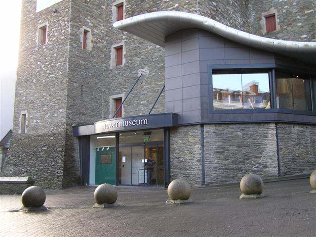
The Tower Museum entrance in Derry.
The Tower Museum entrance in Derry. Photo: Kenneth Allen ↗ · CC BY-SA 2.0

heritage

Tower Museum

The Tower Museum remains a visitor stop inside Derry’s walls, but its offer is changing. The Derry Girls Experience continues while the long-running Story of Derry exhibition has closed ahead of the planned…

Open place page →
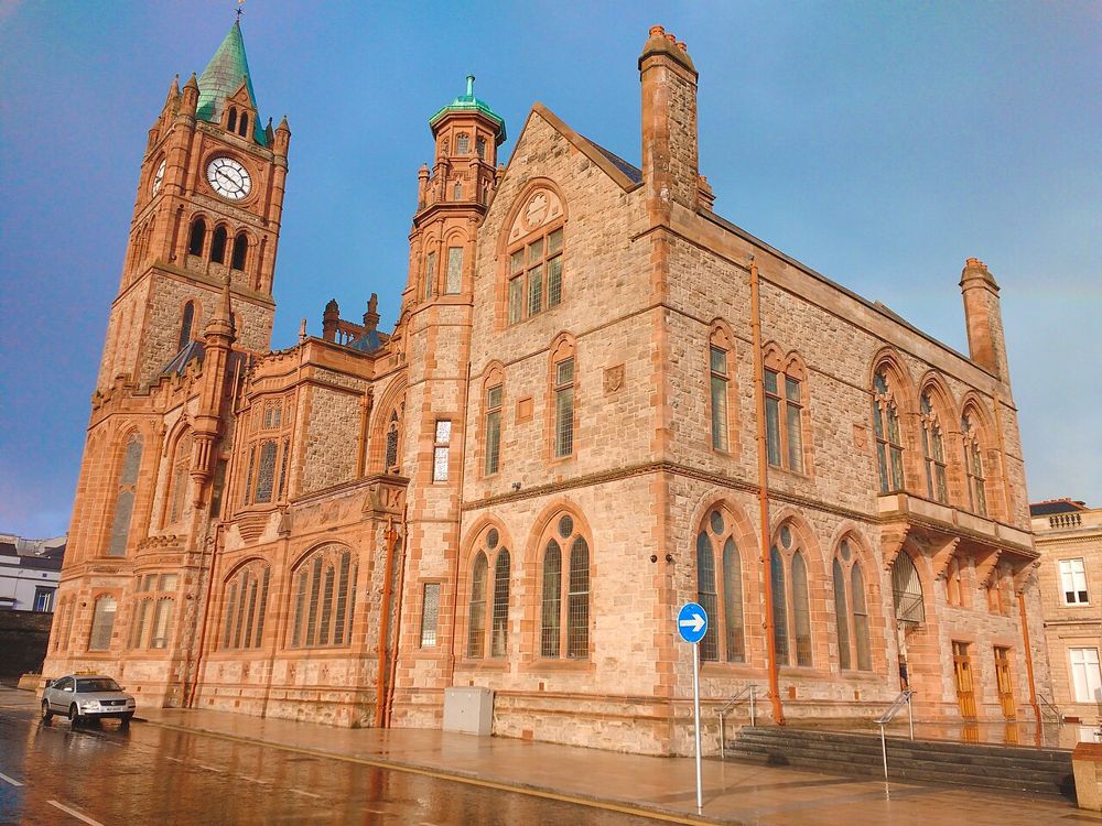
The Guildhall in Derry
The Guildhall in Derry. Credited source photograph; appearance and access may have changed. Resized from the original. Photo: Udit Kapoor ↗ · CC BY-SA 4.0

heritage

Derry Guildhall

The Guildhall is an easy building to admire from the square and a more rewarding one to enter. Its stained glass, organ and civic rooms add texture to a Derry day dominated by the walls and river.

Open place page →
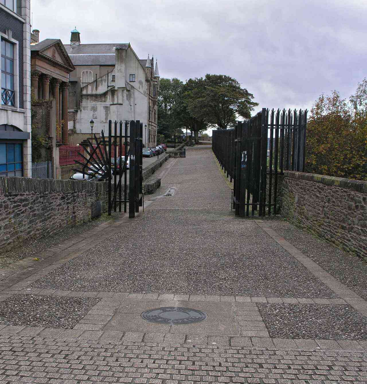
Historic city walls in Derry
Historic city walls in Derry. Source photograph; current access and conditions may differ. Photo: SeanMack ↗ · Public domain

city

Derry~Londonderry

Derry offers a compact city visit organised around its walls, river and layered history. A considered walk and one chosen museum or guided tour make a coherent first day.

Open place page →
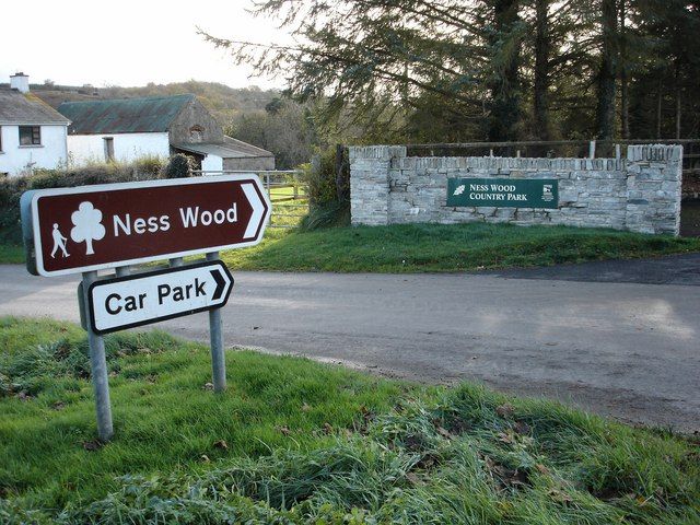
The entrance to Ness Wood, part of Ness Country Park
The entrance to Ness Wood, part of Ness Country Park. Resized from the credited source; appearance and access may have changed. Photo: Kay Atherton ↗ · CC BY-SA 2.0

nature

Ness Country Park

Ness is a woodland-and-river outing where your starting point matters. Different approaches lead to different gradients, and the waterfall walk should not be confused with every easy-looking path around the…

Open place page →
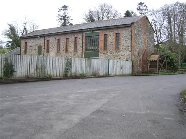
A museum building in Roe Valley Country Park
A museum building in Roe Valley Country Park. Resized from the credited source; appearance and access may have changed. Photo: Kenneth Allen ↗ · CC BY-SA 2.0

nature

Roe Valley Country Park

Roe Valley gives the river the leading role. Woodland paths, moving water and traces of former industry make a quieter alternative to the north-coast beach circuit, particularly when you want a walk with…

Open place page →

External visitor reviews

Find the matching listing and reviews on Google Maps ↗

Part of a bigger journey

Location & access

Getting your bearings

Exposed outdoor walkway; works may restrict access. Check current site notices.

54.99481, -7.32018 · Reference point; confirm the correct entrance and access. Map © OpenStreetMap contributors.

Orientation only: a verified public entrance is not established by this pin. Use the operator arrival information before travel.

Sources & place context

Browse more Ireland places →