Skip to content
TheLazyNick

heritage · Clare

Mooghaun Bronze Age Hillfort

Mooghaun is a large Bronze Age hillfort within woodland near Newmarket-on-Fergus, with surviving enclosures and a wider archaeological landscape. It rewards looking at earth and stone boundaries rather than expecting an intact castle. Follow the self-guided approach and leave ramparts, cairns and other fragile remains undisturbed as you explore.

Add to planSaved trips & places

Saved on this browser. No account needed.

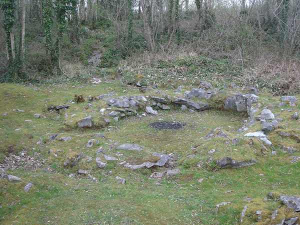
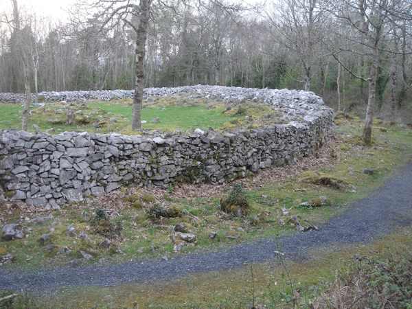
Surviving cashel stonework within the wider Mooghaun complex.
Surviving cashel stonework within the wider Mooghaun complex. Photo: Taco van der Waal ↗ · CC BY-SA 3.0

From research

Is this worth your time?

Choose Mooghaun if you enjoy reading a landscape through its surviving shapes. Woodland can make the full scale less obvious at first, so give the route and interpretation time. The famous gold hoard belongs to the site’s story, but this outdoor visit does not include a display of those objects.

Know before you book: An unguided outdoor monument has uneven ground and fragile fabric. Stay on permitted approaches, keep off masonry and respect local restrictions.

Place highlights

What you will actually see

01

The enclosures

Look at the surviving boundaries from the established route and consider their relationship to the hill. Avoid walking on ramparts or moving stone. The scale becomes clearer when you connect several parts of the landscape rather than inspecting one wall alone.

02

Different structures

OPW identifies several types of remains within the complex, including later cashels and round-house sites. Use interpretation to distinguish them where possible. Do not assume that every visible enclosure was built at exactly the same time or for the same purpose.

03

The wider setting

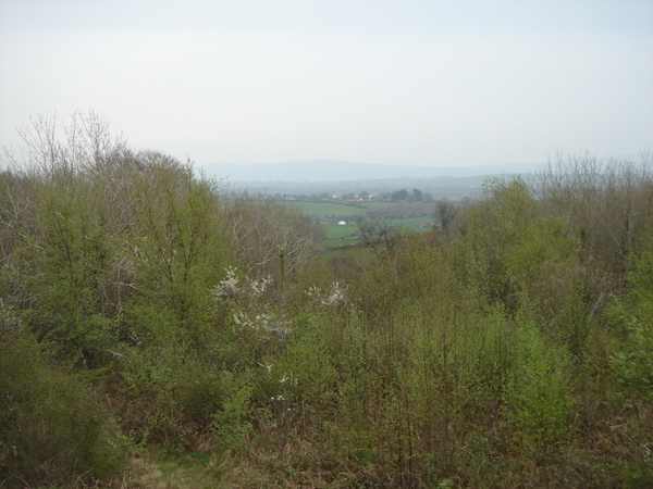
Notice the hill’s relationship to the surrounding land and estuary direction where views permit. The woodland is part of the current visit and may limit a panorama. Stay on the route rather than searching through vegetation for a clearer outlook.

The story behind the visit

The story behind the place

OPW places the hillfort in the late Bronze Age and records radiocarbon evidence from its ramparts, alongside survey and excavation by the Discovery Programme in the early 1990s. The complex also contains other structures and rebuilding, so it should not be read as one untouched construction event. Its surviving boundaries give a way to consider the organisation of a large enclosed place, while the archaeological work provides a firmer basis than a simple visual guess about its age. Source ↗

The Mooghaun gold hoard adds a separate but closely associated story of wealth and power. OPW notes objects including hoops, bracelets, ingots and torcs, now held in museum collections rather than displayed on the hill. Interpretations also suggest ceremonial importance for parts of the complex, but that remains an archaeological explanation rather than a scene directly visible to the visitor. Keep the distinction between surviving fabric, excavated evidence and interpretation in mind as you follow the woodland route through the monument. Source ↗

Visitor information

Tickets, timing and access

Opening
Visit in daylight and obey current access signs or temporary restrictions.Confirm with the operator ↗
Admission
Check current local arrangements; do not infer a staffed museum or included guided tour.Confirm with the operator ↗
Booking
Independent viewing has no advertised departure; arrange specialist or group guiding separately.Confirm with the operator ↗
Access
Use the permitted visitor approach; do not climb walls, stones or roofless structures.Confirm with the operator ↗
Duration
Allow about 90 minutes for a careful look at the monument and setting.Confirm with the operator ↗
Seasonal
Wet grass, wind and short daylight can affect the visit; wear suitable footwear.Confirm with the operator ↗

Getting to the entrance

Use the signed Mooghaun hillfort approach near Newmarket-on-Fergus. Follow the established self-guided trail rather than crossing woodland boundaries. Official visitor information ↗

Your questions, answered

Confirm current access and visitor arrangements with the operator.

Can I climb the remains?

No. Observe from permitted ground and leave historic masonry and stones undisturbed. Source ↗

Is there a staffed indoor attraction?

Do not assume one. This guide covers the outdoor monument and its currently permitted approach. Source ↗

Nearby options

Nearby places to explore

Explore other places in the area, then use live directions to plan your journey.

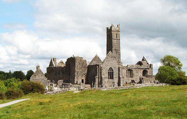
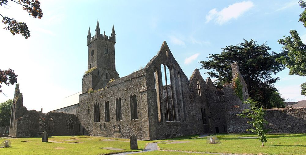
The church, belfry and surrounding ruins at Clare Abbey
The church, belfry and surrounding ruins at Clare Abbey. Resized for display. Photo: Francisjosephchandler ↗ · CC BY-SA 4.0

heritage

Clare Abbey

Clare Abbey is a ruined Augustinian monastery beside the River Fergus near Ennis. Its church, square belfry and domestic ranges form a substantial complex, with late-medieval window detail worth a close look.…

Open place page →
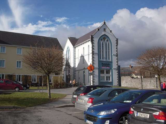
Clare Museum and visitor-service building in Ennis
Clare Museum and visitor-service building in Ennis. Source photograph: 2010-02-17. Appearance, displays and access may have changed. Photo: C O'Flanagan ↗ · CC BY-SA 2.0

heritage

Clare Museum

Clare Museum in Ennis introduces the county through original objects and the stories attached to them. Its collection ranges across archaeology, political history and everyday life, making it a useful indoor…

Open place page →
Stone walls and church windows at Ennis Friary
Stone walls and church windows at Ennis Friary. Photo: Ruhrfisch ↗ · CC BY-SA 4.0

heritage

Ennis Friary

Ennis Friary is a good reminder that the most interesting part of a ruin can be small. Its limestone carvings, tombs and windows reward looking closely rather than chasing a grand view. Because it sits in…

Open place page →
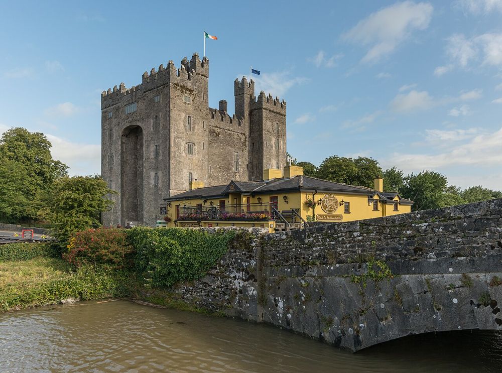
Bunratty Castle rising above its riverside setting
Bunratty Castle rising above its riverside setting. Photo: DXR ↗ · CC BY-SA 4.0

heritage

Bunratty Castle and Folk Park

Bunratty is worth planning as a castle and village visit, rather than a quick photograph from the road. Inside the stone tower, furnished halls make the scale of an elite medieval household tangible. Outside,…

Open place page →
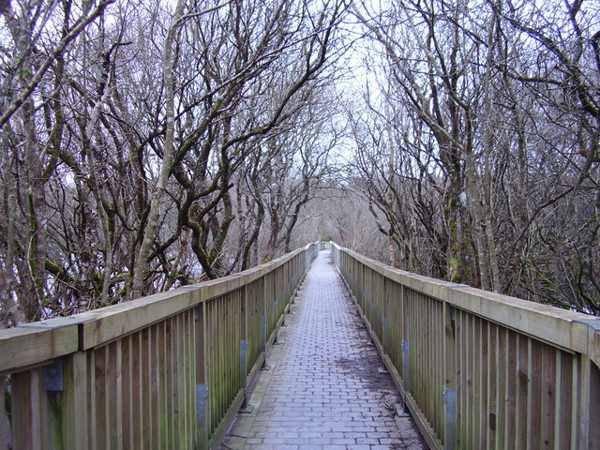
A boardwalk through Dromore Woods in County Clare.
A boardwalk through Dromore Woods in County Clare. Photo: Geno ↗ · CC BY-SA 2.0

nature

Dromore Wood Nature Reserve

Dromore Wood Nature Reserve lies north of Ennis, with woodland, lakes and wetland habitats alongside traces of older buildings. The attraction is the variety within one landscape rather than a guaranteed…

Open place page →

External visitor reviews

Find the matching listing and reviews on Google Maps ↗

Part of a bigger journey

Location & access

Getting your bearings

An unguided outdoor monument has uneven ground and fragile fabric. Stay on permitted approaches, keep off masonry and respect local restrictions.

52.78219, -8.87923 · Reference point; confirm the correct entrance and access. Map © OpenStreetMap contributors.

Orientation only: a verified public entrance is not established by this pin. Use the operator arrival information before travel.

Sources & place context

Browse more Ireland places →