The enclosed cove
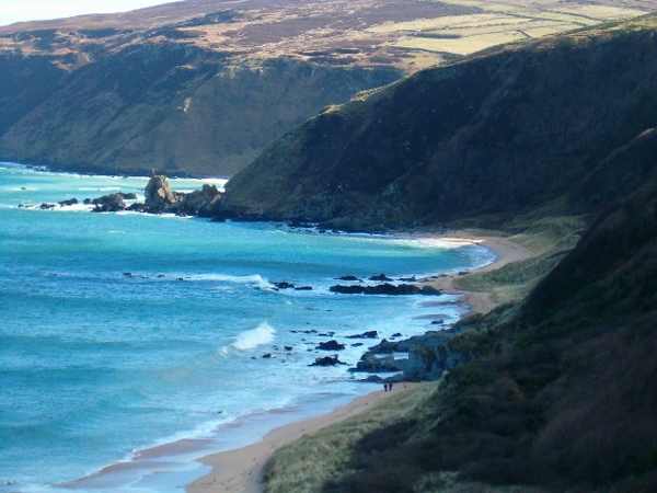
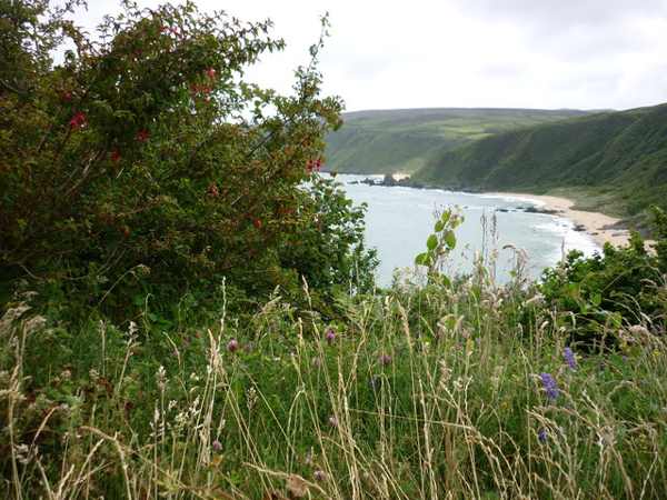
Look at how the steep hillside frames the short sandy beach below. Pause on the established public route and look carefully. Watch your footing as well as the view; keep well away from exposed edges for photographs.

coast · Donegal
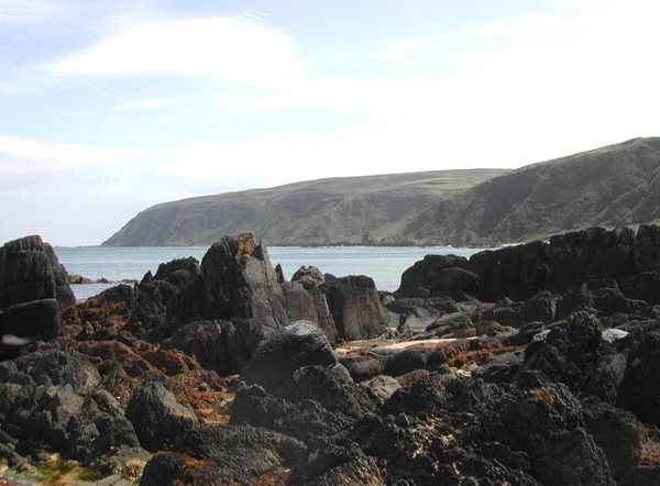
Kinnagoe Bay is a small sandy cove on the eastern side of Inishowen, enclosed by a steep hillside. The narrow, bending road makes the arrival part of the outing, so approach slowly and stop only in the established public area. A memorial plaque adds a Spanish Armada story to the coastal setting.
From research
Choose Kinnagoe for a compact beach visit with both scenery and a specific historical connection. It is better suited to a relaxed pause than a long checklist of activities. The enclosed appearance should not be mistaken for guaranteed safe water, and the winding approach deserves attention even when the view first opens.
Know before you book: This is an exposed outdoor visit. Tide, weather and local restrictions can change access; keep well back from cliffs and moving water.
Place highlights
Look at how the steep hillside frames the short sandy beach below. Pause on the established public route and look carefully. Watch your footing as well as the view; keep well away from exposed edges for photographs.
Read the plaque commemorating La Trinidad Valencera and distinguish the wreck story from visible remains. Compare this feature with the wider surroundings. Use permitted approaches, leave plants and wildlife undisturbed and avoid shortcuts across adjoining land or fragile coastal vegetation.
Observe the contrast between sand, rock and water from the established public approach. Choose a comfortable turning point before conditions limit the return. A shorter visit still reveals the place’s character; you need not reach every visible landmark.
The story behind the visit
La Trinidad Valencera, a ship of the Spanish Armada, was wrecked at Kinnagoe Bay in September 1588. Fáilte Ireland records the rediscovery of the wreck in 1971, many centuries after the event. The plaque gives the beach a precise historical connection, but a land visit does not include access to the wreck. Read the memorial as an introduction to the story rather than expecting ship remains to be visible on the sand. Source ↗
The cove’s character also comes from its landform: a short sandy shore enclosed by a steeply sloping hillside. The approach road descends through narrow bends, reinforcing the sense of arriving in a small coastal space. That is a reason to take the drive carefully, not to stop at an unsafe bend for a photograph. Once at the beach, let the available shore and conditions determine the walk, keeping enough room and time for a straightforward return to the public access. Source ↗
Visitor information
Follow the signed Kinnagoe Bay approach on eastern Inishowen. The road is narrow with a hairpin bend; keep turning and passing space clear. Official visitor information ↗
Confirm current access and visitor arrangements with the operator.
No. Choose a shorter permitted outing that fits conditions and leaves a straightforward return. Source ↗
No. This is a land-based visit; water activities need separate current safety advice. Source ↗
Nearby options
Explore other places in the area, then use live directions to plan your journey.
coast
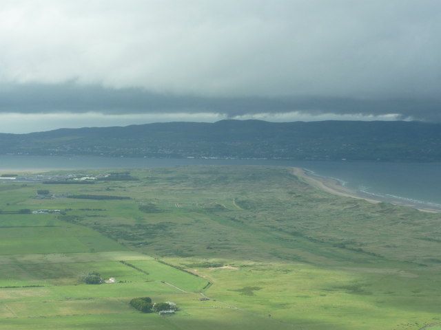
Magilligan Point is an edge-of-the-map kind of stop: flat open shore, Lough Foyle ahead and the Donegal side clearly part of the view. It rewards a pause more than a long list of activities.
Open place page →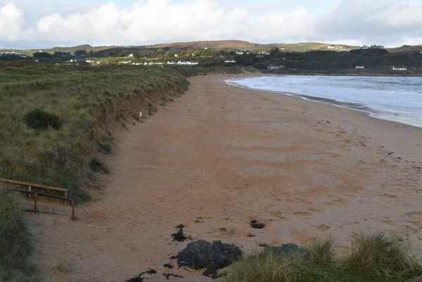
coast
Culdaff Beach brings sand, dunes, rock outcrops and a river mouth together on the Inishowen coast. Its interest lies in the different edges of the bay, not just the space for a beach walk. Start from the…
Open place page →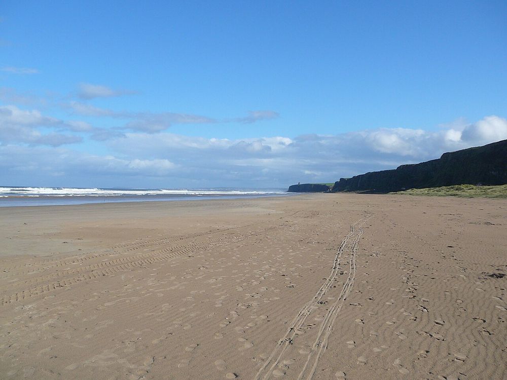
coast
Benone is a beach for breathing space: broad sand, an open horizon and the coastline continuing towards Downhill. Its scale is the attraction, so a simple shore walk often makes more sense than a crowded…
Open place page →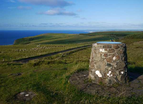
nature
Gortmore View Point is an elevated stop on Bishop’s Road, with a broad outlook over the Magilligan area and the north-west coast. A sculpture of Manannán Mac Lir adds a distinctive foreground to the landscape.…
Open place page →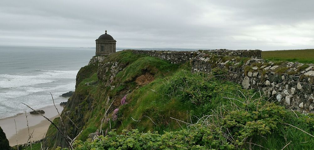
heritage
Mussenden Temple is striking because of its position, but Downhill Demesne supplies the larger story. The small circular building, ruined house and open coast form one landscape that deserves more than a…
Open place page →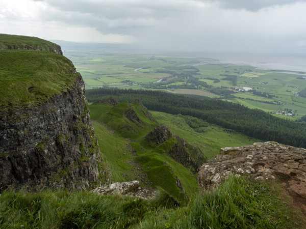
nature
Binevenagh combines a steep basalt escarpment, upland nature reserve and small artificial lake above the north-west coast. In clear weather the outlook takes in Benone, Lough Foyle and Donegal. The mountain,…
Open place page →Location & access
This is an exposed outdoor visit. Tide, weather and local restrictions can change access; keep well back from cliffs and moving water.
55.25861, -7.01288 · Reference point; confirm the correct entrance and access. Map © OpenStreetMap contributors.
Orientation only: a verified public entrance is not established by this pin. Use the operator arrival information before travel.