Castle tower
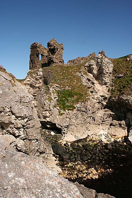
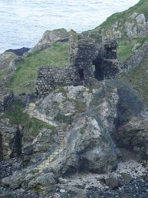
View the surviving two-storey tower from the permitted route. Its position beside the entrance helps explain how the small headland stronghold controlled the approach rather than relying on a large surrounding garrison.

heritage · Antrim
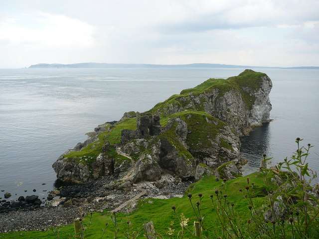
Kinbane Castle occupies a chalk headland below the Causeway Coast near Ballycastle. Its ruined tower and enclosure are interesting in their own right, but the relationship between masonry, cliffs and sea gives the site its particular character. This is an exposed outdoor heritage stop with a demanding approach, not an accessible castle-interior tour.
From research
Choose Kinbane for coastal scenery combined with a compact historic ruin. Allow time for the descent and climb back as well as the castle itself. The official warning about eroding rock is important: stop at the permitted castle area and keep away from the unsafe headland beyond.
Know before you book: Eroding rock and steep drops make this a hazardous exposed site. The heritage authority says the rock beyond the castle is unsafe.
Place highlights
View the surviving two-storey tower from the permitted route. Its position beside the entrance helps explain how the small headland stronghold controlled the approach rather than relying on a large surrounding garrison.
Look at the pale rock that gives the site its name. The landscape is part of its defensive history, but exposed edges are not viewing platforms and should not be approached for photographs.
Look for the relationship between the tower and the grass-covered enclosure without going beyond safe ground. Understanding the outline is more useful than trying to follow every fragment near the cliffs.
The story behind the visit
The name refers to the white chalk headland on which the castle stands. The Department for Communities reports construction by Colla MacDonnell shortly before 1551, followed by capture and partial destruction in that year. It was subsequently reoccupied. The surviving entrance tower and wall traces show a compact defended site whose natural surroundings supplied much of its protection. Source ↗
The sea-cliff setting is integral to the visit, but it also limits the route. The surviving ruin should be read from authorised ground, with the unsafe rock beyond the castle left alone. A useful visit combines observation of the tower and enclosure with an appreciation of why this headland was chosen. Allowing time and energy for the return ascent is part of planning the stop, especially in short winter daylight. The contrast between a small defended building and a dramatic natural position is the central architectural point to notice from safe ground. Source ↗
Visitor information
Use the signed public approach near Whitepark Road west of Ballycastle. Keep the return climb and available daylight in mind before descending from the visitor area. Official visitor information ↗
Confirm current access and visitor arrangements with the operator.
The heritage authority says the rock beyond the castle is unsafe. Keep to the permitted route. Source ↗
Yes, the Department for Communities lists free public access, with occasional restrictions for works. Source ↗
Nearby options
Explore other places in the area, then use live directions to plan your journey.
coast
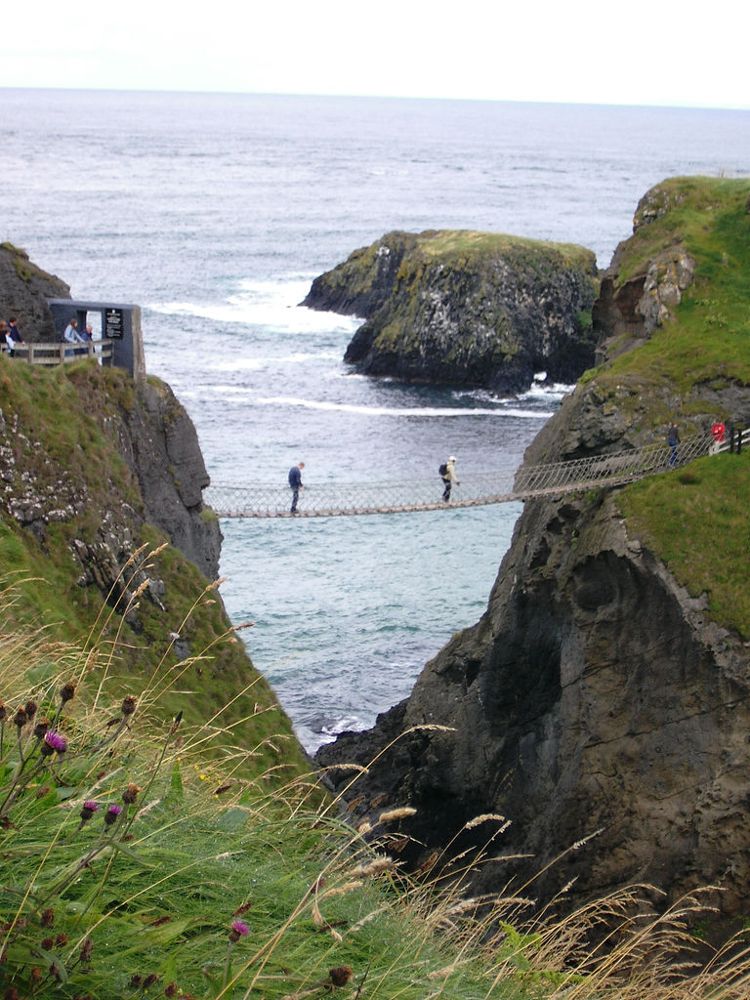
At Carrick-a-Rede, the coastal approach is a substantial part of the experience. The bridge is the brief, memorable crossing within a longer outing above the sea, not something beside the car door.
Open place page →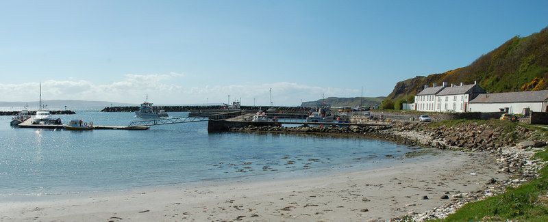
nature
Rathlin needs its own day-shaped space in a trip. Once the ferry reaches Church Bay, distances across the island and the timetable become more important than the mainland temptation to collect another stop.
Open place page →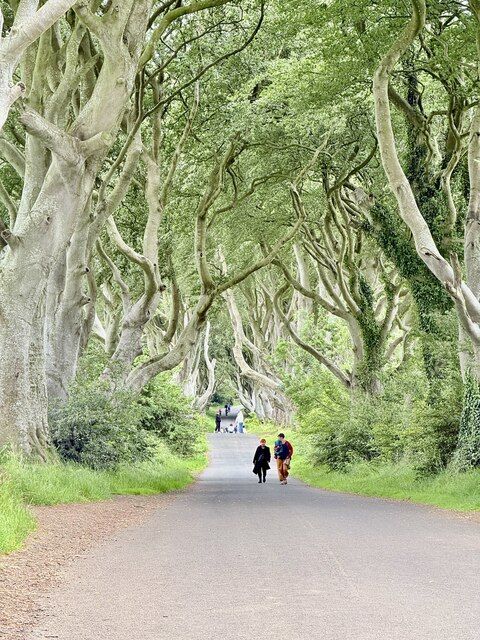
nature
The Dark Hedges is a short avenue, not a forest hike. Its attraction is the way mature beech limbs lean across the road, producing a tunnel whose appearance changes with light, weather and the remaining trees.
Open place page →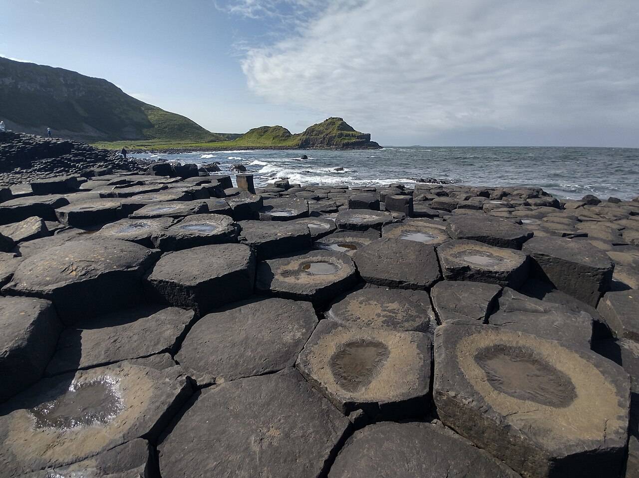
coast
The Giant’s Causeway combines an extraordinary basalt shoreline with a managed visitor experience. Decide how you will arrive and which services you want before travelling.
Open place page →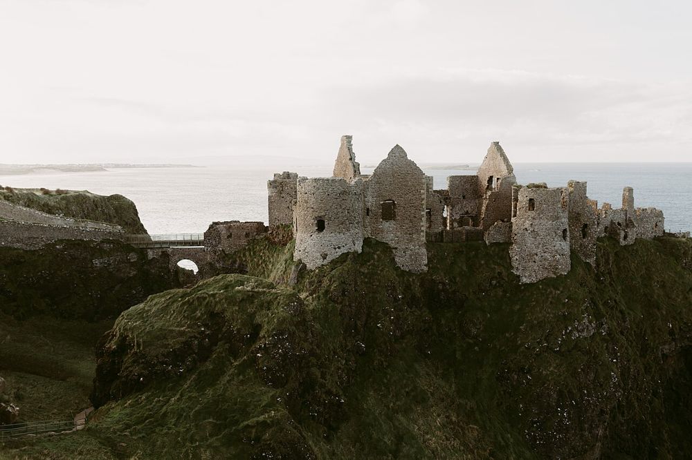
heritage
Dunluce is a ruin with a very legible geography: a castle gripping a rocky coastal outcrop, separated from the mainland by a narrow approach. The setting is compelling before you know the family names.
Open place page →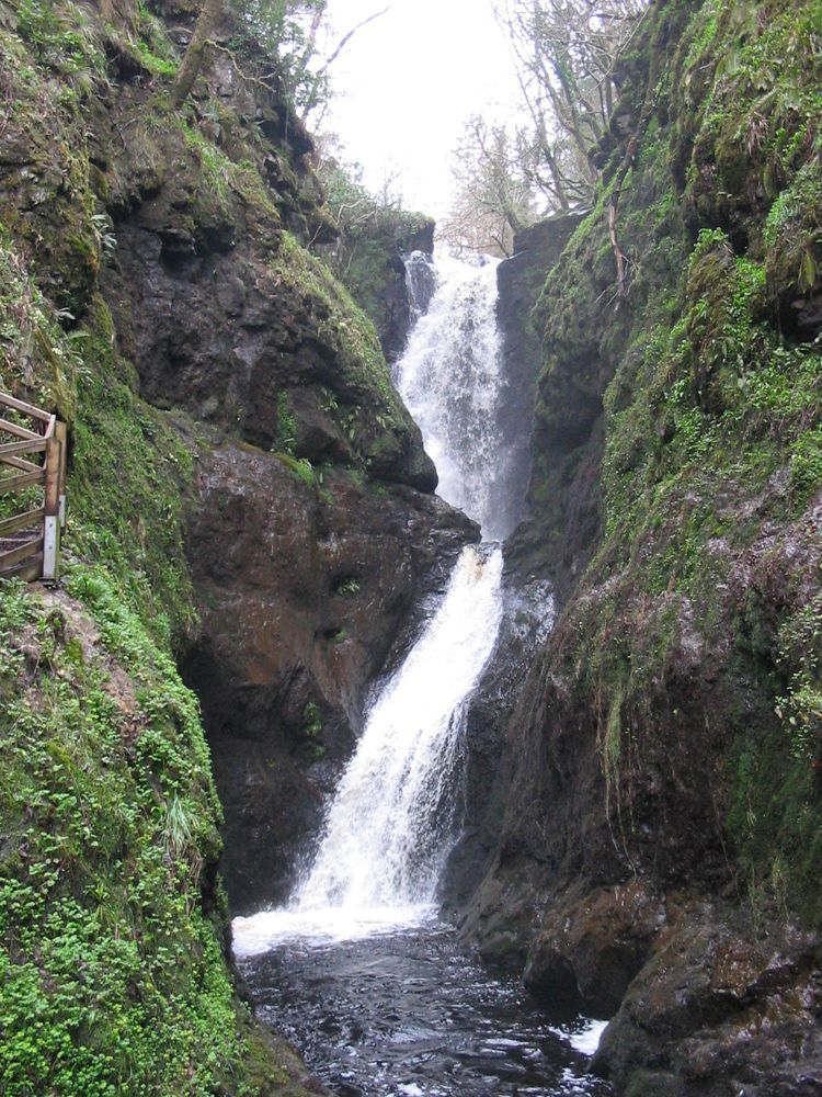
nature
Glenariff offers a change of texture after the Antrim coast: trees, river gorges and falling water instead of open headlands. The wooded setting makes the descent feel enclosed and the wider glen views more…
Open place page →Location & access
Eroding rock and steep drops make this a hazardous exposed site. The heritage authority says the rock beyond the castle is unsafe.
55.22939, -6.29124 · Reference point; confirm the correct entrance and access. Map © OpenStreetMap contributors.
Orientation only: a verified public entrance is not established by this pin. Use the operator arrival information before travel.