Skip to content
TheLazyNick

heritage · Kerry

Kilmalkedar Church

Kilmalkedar Church is part of an early Christian and medieval religious complex on the Dingle Peninsula, overlooking the Smerwick area. A Romanesque church and several carved or inscribed stones give the visit a clear focus. It is an unguided national monument, so explore the permitted ground carefully and respect the surrounding burial place.

Add to planSaved trips & places

Saved on this browser. No account needed.

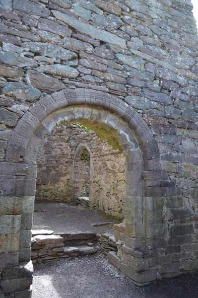
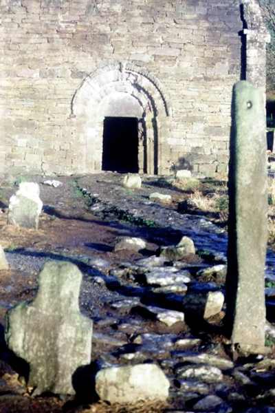
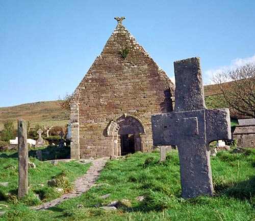
Kilmalkedar’s church ruins and burial ground.
Kilmalkedar’s church ruins and burial ground. Photo: Benson Wills ↗ · CC BY-SA 2.0

From research

Is this worth your time?

Choose Kilmalkedar if you enjoy comparing architecture with smaller surviving objects. The church, ogham stone and sundial reward different kinds of attention, and none requires climbing or touching. Allow a quiet visit with time to look, while keeping clear of graves, fragile fabric and any areas closed by current notices.

Know before you book: An unguided outdoor monument has uneven ground and fragile fabric. Stay on permitted approaches, keep off masonry and respect local restrictions.

Place highlights

What you will actually see

01

The Romanesque church

Look at the doorway, surviving nave and decorative details from the permitted route. Different stones and carved forms become clearer at a slow pace. Do not climb through openings or onto the walls to examine features above you.

02

Inscribed stones

Observe the ogham and alphabet stones without handling them or making rubbings. Their marks belong to distinct forms of writing and interpretation. Use official information to identify them rather than treating every line as the same kind of inscription.

03

The sundial

The carved sundial recalls the measurement of time within a religious setting. Look at it from permitted ground and compare its form with the other stones. Leave the surface untouched and keep the surrounding burial ground undisturbed.

The story behind the visit

The story behind the place

OPW identifies Kilmalkedar as a religious complex named for Saint Maolcethair and commonly associated with Saint Brendan. The surviving stones and church do not all belong to one building phase. The ogham stone and other early features give the site depth before the Romanesque church, which OPW places in the twelfth century. Keeping those layers distinct helps explain why a small area contains such varied forms of architecture, writing and devotional use. Source ↗

The church retains a nave and chancel with Romanesque decoration, while the sundial used a projecting rod to cast a shadow across divided sectors. These details connect craft with the practical organisation of religious life. They are not simply isolated curiosities to touch in passing. Look at how each object works within the wider complex and use the official interpretation to distinguish surviving evidence from later tradition. An unguided visit can remain thoughtful and rewarding without entering fragile structures or interrupting the continued dignity of the burial ground. Source ↗

Visitor information

Tickets, timing and access

Opening
Visit in daylight and obey current access signs or temporary restrictions.Confirm with the operator ↗
Admission
Check current local arrangements; do not infer a staffed museum or included guided tour.Confirm with the operator ↗
Booking
Independent viewing has no advertised departure; arrange specialist or group guiding separately.Confirm with the operator ↗
Access
Use the permitted visitor approach; do not climb walls, stones or roofless structures.Confirm with the operator ↗
Duration
Allow about 60 minutes for a careful look at the monument and setting.Confirm with the operator ↗
Seasonal
Wet grass, wind and short daylight can affect the visit; wear suitable footwear.Confirm with the operator ↗

Getting to the entrance

Follow the signed Kilmalkedar approach near Ballydavid on the Dingle Peninsula. Use the permitted visitor route through the church and burial-ground setting. Official visitor information ↗

Your questions, answered

Confirm current access and visitor arrangements with the operator.

Can I climb the remains?

No. Observe from permitted ground and leave historic masonry and stones undisturbed. Source ↗

Is there a staffed indoor attraction?

Do not assume one. This guide covers the outdoor monument and its currently permitted approach. Source ↗

Nearby options

Nearby places to explore

Explore other places in the area, then use live directions to plan your journey.

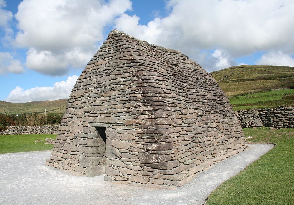
The curved stone roof and walls of Gallarus Oratory
The curved stone roof and walls of Gallarus Oratory. Source photograph; conditions and access may have changed. Resized from the credited original. Photo: Ingo Mehling ↗ · CC BY-SA 3.0

heritage

Gallarus Oratory

Gallarus asks you to look closely. The little stone building has none of a cathedral’s theatrical scale; its appeal is the precision of the walls curving into a roof. Step back to see the shape, then let your…

Open place page →
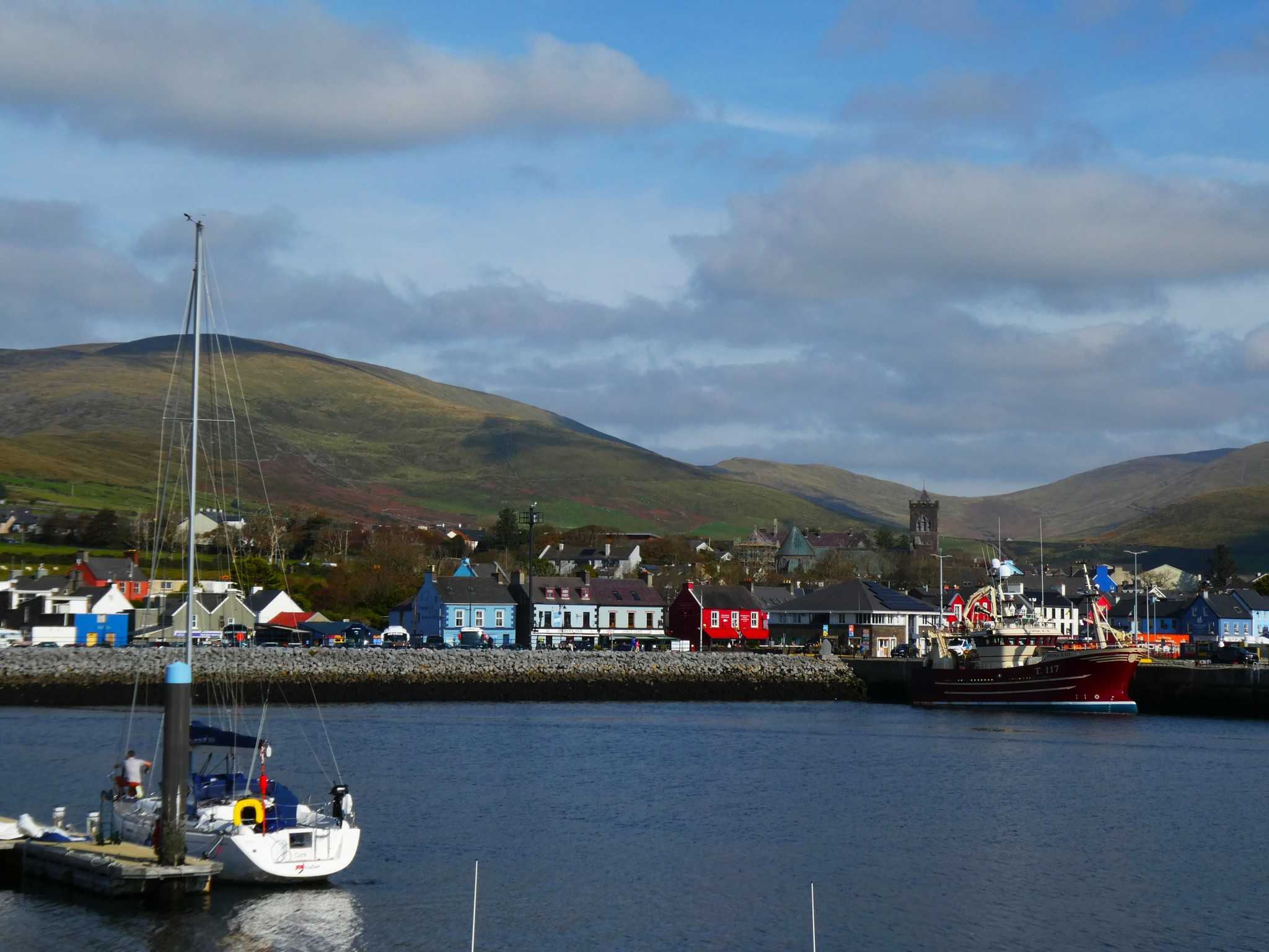
Dingle harbour and town with St Mary’s Church and hills behind
Dingle harbour and town, photographed on 12 October 2025. Source photograph; current conditions may differ. Photo: Maoileann ↗ · CC BY-SA 4.0

coast

Dingle

Dingle town is a harbour and streets visit that can anchor a peninsula stay. It is not a shorthand for driving every part of the Dingle Peninsula in one stop.

Open place page →
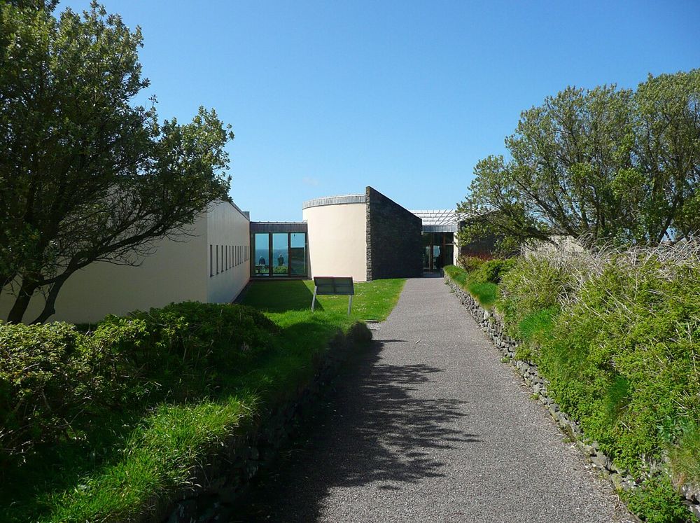
The approach to the Blasket Centre on the Dingle Peninsula
The approach to the Blasket Centre on the Dingle Peninsula. Source photograph; conditions and access may have changed. Resized from the credited original. Photo: Humphrey Bolton ↗ · CC BY-SA 2.0

heritage

Ionad an Bhlascaoid — The Blasket Centre

The Blasket Centre gives the islands people, language and ordinary days. Across the water, Great Blasket can look like an empty scenic shape; inside, recordings, writing and interpretation return the community…

Open place page →
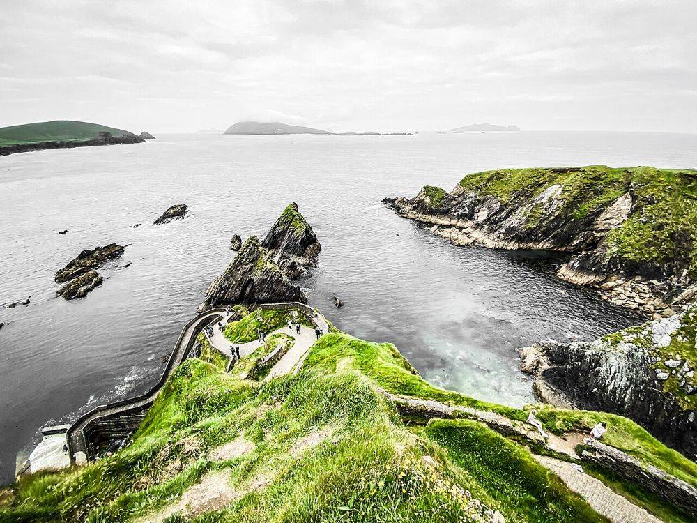
The winding descent to Dunquin Pier beneath the cliffs
The winding descent to Dunquin Pier beneath the cliffs. Source photograph; conditions and access may have changed. Resized from the credited original. Photo: Dieglop ↗ · CC BY-SA 4.0

coast

Cé Dhún Chaoin — Dunquin Pier

Dunquin’s zigzag path is easy to recognise from photographs, but the practical detail gets lost in the image: the pier is far below you. Look first from a permitted place above. Walking down is an optional…

Open place page →

External visitor reviews

Find the matching listing and reviews on Google Maps ↗

Part of a bigger journey

Location & access

Getting your bearings

An unguided outdoor monument has uneven ground and fragile fabric. Stay on permitted approaches, keep off masonry and respect local restrictions.

52.18529, -10.33888 · Reference point; confirm the correct entrance and access. Map © OpenStreetMap contributors.

Orientation only: a verified public entrance is not established by this pin. Use the operator arrival information before travel.

Sources & place context

Browse more Ireland places →