Skip to content
TheLazyNick

coast · Kerry

Kerry Cliffs

Kerry Cliffs is a managed coastal viewpoint near Portmagee, with a walking approach to high Atlantic cliffs and views towards the Skelligs and Puffin Island. It is a paid attraction with weather-dependent access, distinct from an informal roadside stop. Give the walk and viewpoint at least an hour rather than arriving just before the last entrance.

Add to planSaved trips & places

Saved on this browser. No account needed.

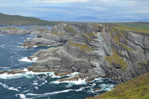
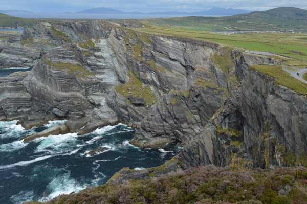
The Atlantic cliffs at the managed Kerry Cliffs viewpoint near Portmagee.
The Atlantic cliffs at the managed Kerry Cliffs viewpoint near Portmagee. Photo: N Chadwick ↗ · CC BY-SA 2.0

From research

Is this worth your time?

Choose Kerry Cliffs if you want a defined visitor approach to a dramatic coastal view. The operator publishes opening and last-entry times, but weather can still change access. A clear view of the islands is a possibility rather than a promise, and a mainland viewpoint does not include travel or landing on the Skelligs.

Know before you book: Paid managed access remains weather-dependent. Stay on the visitor route and behind barriers; this mainland visit includes no island boat trip.

Place highlights

What you will actually see

01

The managed approach

Follow the operator’s current visitor route from the entrance towards the viewing areas. Pause on the established public route and look carefully. Watch your footing as well as the view; keep well away from exposed edges for photographs.

02

The cliff setting

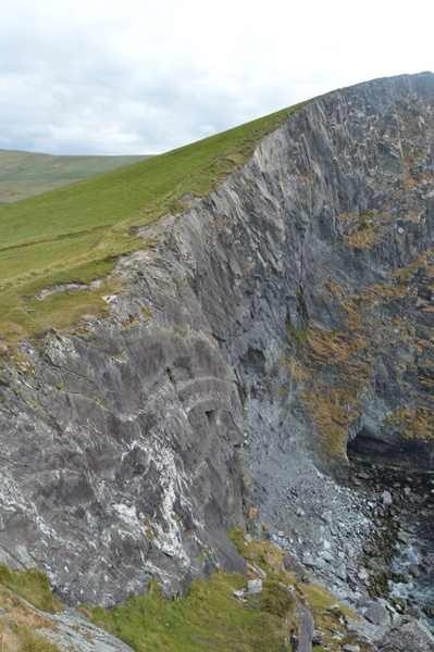
Look at the height and Atlantic exposure from behind the visitor barriers, keeping all edges clear. Compare this feature with the wider surroundings. Use permitted approaches, leave plants and wildlife undisturbed and avoid shortcuts across adjoining land or fragile coastal vegetation.

03

Island views

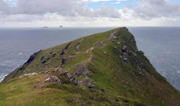
Watch towards the Skelligs and Puffin Island when visibility allows, without expecting guaranteed bird sightings. Choose a comfortable turning point before conditions limit the return. A shorter visit still reveals the place’s character; you need not reach every visible landmark.

The story behind the visit

The story behind the place

The operator describes cliffs rising more than a thousand feet above the Atlantic near Portmagee, with the Skelligs and Puffin Island offshore. That relationship is the central attraction: a high mainland viewpoint looking into an island seascape. The visit stays on land, so it should not be confused with a boat tour or an island landing. Time at the viewpoint can be worthwhile even when cloud or haze limits how much of the distant coast is visible. Source ↗

The entrance and established walking route make this a managed visitor experience rather than an unrestricted stretch of coastline. The operator suggests a minimum of one hour and notes a walk from the entrance to the cliffs. Respect that scale when planning arrival, especially in shorter winter daylight. Opening hours and last entry are separate from the weather decision: published daily access does not mean the site must remain open during unsafe conditions. Check the operator’s latest notice before making a special journey. Source ↗

Visitor information

Tickets, timing and access

Opening
Current operator hours: daily 09:30–16:00; last entrance 15:30, weather permitting.Confirm with the operator ↗
Admission
Admission is charged; confirm the current tariff with the operator.Confirm with the operator ↗
Booking
Check entry arrangements directly, especially for groups or specialist access needs.Confirm with the operator ↗
Access
Follow the managed walking approach and barriers; do not approach the cliff edge independently.Confirm with the operator ↗
Duration
The operator recommends at least 1 hour; allow 60–90 minutes with pauses.Confirm with the operator ↗
Seasonal
Weather can change opening or visibility. Reconfirm before travelling.Confirm with the operator ↗

Getting to the entrance

Follow signs to Kerry Cliffs near Portmagee, Foilnageragh, V23 NV24. Use the visitor entrance and current operator instructions. Official visitor information ↗

Your questions, answered

Confirm current access and visitor arrangements with the operator.

Must I complete a long walk?

No. Choose a shorter permitted outing that fits conditions and leaves a straightforward return. Source ↗

Is entering the water part of this visit?

No. This is a land-based visit; water activities need separate current safety advice. Source ↗

Nearby options

Nearby places to explore

Explore other places in the area, then use live directions to plan your journey.

The coastal promontory at Bray Head on Valentia Island.
The coastal promontory at Bray Head on Valentia Island. Photo: Phil Champion ↗ · CC BY-SA 2.0

nature

Bray Head

Bray Head on Valentia Island is a coastal upland walk towards an abandoned signal tower, with views towards the Skelligs and neighbouring islands in suitable weather. It is distinct from Bray Head in County…

Open place page →
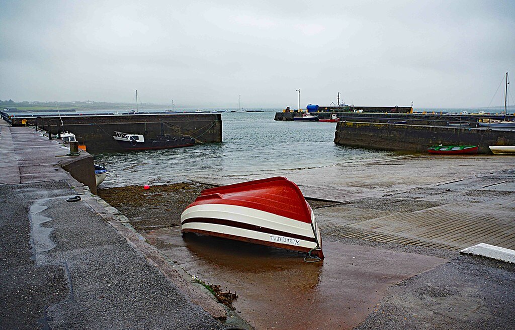
Knightstown harbour on Valentia Island, photographed in September 2018
Knightstown harbour on Valentia Island, photographed in September 2018 Source photograph; conditions and access may have changed. Photo: P L Chadwick ↗ · CC BY-SA 2.0

coast

Valentia Island

Valentia works best as an island day with a theme, rather than a detour where every viewpoint has to be collected. Knightstown offers a harbour-side starting point; the cable story and the lighthouse give two…

Open place page →
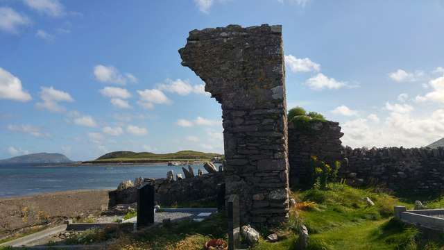
Ballinskelligs Abbey beside the shore
Ballinskelligs Abbey beside the shore. Resized for display. Photo: Phil Champion ↗ · CC BY-SA 2.0

heritage

Ballinskelligs Abbey

Ballinskelligs Abbey, also known as the Augustinian Priory, stands beside the bay in a setting closely connected with the Skelligs. The surviving church, cloister fragments and domestic remains make a…

Open place page →
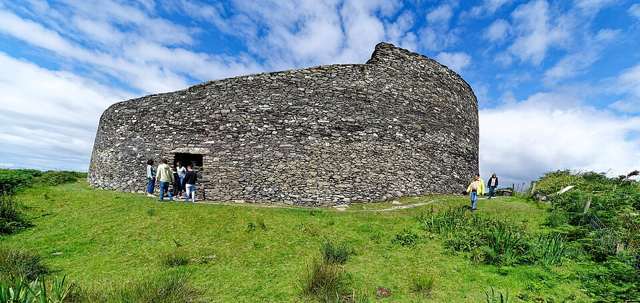
The outer wall and entrance of Cahergall Stone Fort, viewed from ground level
The outer wall and entrance of Cahergall Stone Fort, viewed from ground level. Resized for display. Photo: Holger Uwe Schmitt ↗ · CC BY-SA 4.0

heritage

Cahergal Stone Fort

Cahergal, also called Cahergall Cashel, is a substantial stone-built ringfort near Cahersiveen. Its restored-looking enclosure is best appreciated by following the permitted ground-level route and studying the…

Open place page →
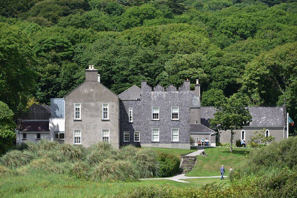
Derrynane House, Daniel O’Connell’s ancestral home
Derrynane House, Daniel O’Connell’s ancestral home. Source photograph; conditions and access may have changed. Resized from the credited original. Photo: August Schwerdfeger ↗ · CC BY 4.0

heritage

Derrynane House

Derrynane gives Daniel O’Connell a domestic setting. After the scale of the Ring of Kerry coast, the house’s rooms and personal objects bring the story back to one family and one political life. Leave some…

Open place page →
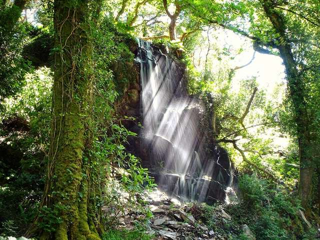
Waterfall at Kells Bay in County Kerry
Waterfall at Kells Bay in County Kerry. Source photograph: 2017-07-24 13:58:43. Appearance, displays and access may have changed. Photo: Hauke Musicaloris ↗ · CC BY 2.0

nature

Kells Bay House And Gardens

Kells Bay House and Gardens combines a coastal Kerry setting with a collection of tree ferns, palms and other unusual plants. The visitor route includes a walled garden, riverside paths and woodland planting.…

Open place page →

External visitor reviews

Find the matching listing and reviews on Google Maps ↗

Part of a bigger journey

Location & access

Getting your bearings

Paid managed access remains weather-dependent. Stay on the visitor route and behind barriers; this mainland visit includes no island boat trip.

51.86848, -10.38546 · Reference point; confirm the correct entrance and access. Map © OpenStreetMap contributors.

Orientation only: a verified public entrance is not established by this pin. Use the operator arrival information before travel.

Sources & place context

Browse more Ireland places →