Skip to content
TheLazyNick

heritage · Kerry

Cahergal Stone Fort

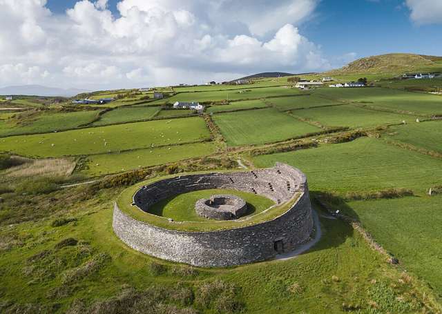
Cahergal, also called Cahergall Cashel, is a substantial stone-built ringfort near Cahersiveen. Its restored-looking enclosure is best appreciated by following the permitted ground-level route and studying the masonry. The nearby estuary and other forts place it within a wider settled landscape rather than an isolated military stronghold.

Add to planSaved trips & places

Saved on this browser. No account needed.

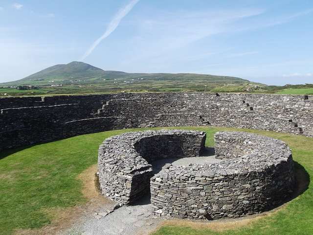
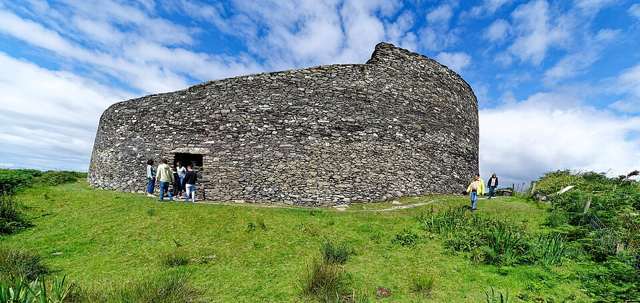
The outer wall and entrance of Cahergall Stone Fort, viewed from ground level
The outer wall and entrance of Cahergall Stone Fort, viewed from ground level. Resized for display. Photo: Holger Uwe Schmitt ↗ · CC BY-SA 4.0

From research

Is this worth your time?

Choose it if you want a concentrated encounter with early medieval settlement and stone building. The attraction is the enclosure itself, so a short visit can still be rewarding. Keep the focus on observing the structure: the Office of Public Works explicitly prohibits climbing here.

Know before you book: No climbing. View the fort from the permitted ground-level route and keep off its historic walls and terraces.

Place highlights

What you will actually see

01

Stone enclosure

Study the curve, thickness and carefully laid wall faces from the permitted route. The enclosure creates an immediate sense of protection, while closer looking reveals how much work was required to turn local stone into a substantial boundary.

02

A homestead landscape

Think of the fort as part of a lived and worked landscape. OPW places it among stone ringforts associated with prosperous farming households, a useful counterweight to imagining every impressive wall as a battlefield or royal fortress.

03

Ridge and estuary

Notice the slight ridge on which Cahergal stands and the wider Valencia River estuary setting. Its relationship with nearby terrain is part of the visit, but each neighbouring monument needs its own access check and walking plan.

The story behind the visit

The story behind the place

OPW identifies Cahergall as a cashel, a stone-built form of ringfort, within a group near the northern bank of the Valencia River estuary. Ringforts are associated with early medieval settlement and the protection of farming households. This context makes the enclosure more intelligible: it represents resources, status and everyday security as well as the skill needed to build and maintain such substantial masonry. Source ↗

The walls are the most conspicuous survival, but they should not become an invitation to climb. The current visitor restriction is explicit. A ground-level visit still allows you to examine construction, the shape of the entrance and the relationship between the enclosure and its ridge. Looking carefully can reveal more than a quick elevated photograph, especially when the aim is to understand how the place worked as a settlement. The enclosure’s value is not dependent on an elevated viewpoint; its construction and scale remain apparent from the authorised ground-level route. Source ↗

Visitor information

Tickets, timing and access

Opening
Unguided outdoor monument: visit in daylight and follow current local notices.Confirm with the operator ↗
Admission
Check current site arrangements; no staffed visitor-centre experience is included in this plan.Confirm with the operator ↗
Booking
No regular guided departure is advertised. Arrange organised group or specialist visits separately.Confirm with the operator ↗
Access
Unguided monument with historic masonry and uneven ground. Stay on permitted routes; climbing is prohibited.Confirm with the operator ↗
Duration
Allow 30–45 minutes, depending on conditions and interest.Confirm with the operator ↗
Seasonal
Exposed outdoor remains can be wet or slippery. Short winter daylight calls for a flexible plan.Confirm with the operator ↗

Getting to the entrance

Use the signed approach near Cahersiveen. The reference pin identifies the monument, not a verified parking bay. Official visitor information ↗

Your questions, answered

Confirm current access and visitor arrangements with the operator.

Can I climb the walls?

No. OPW explicitly lists a no-climbing restriction. Source ↗

Was this only a military fort?

The cashel belongs to a wider ringfort tradition associated with defended homesteads and farming households. Source ↗

Nearby options

Nearby places to explore

Explore other places in the area, then use live directions to plan your journey.

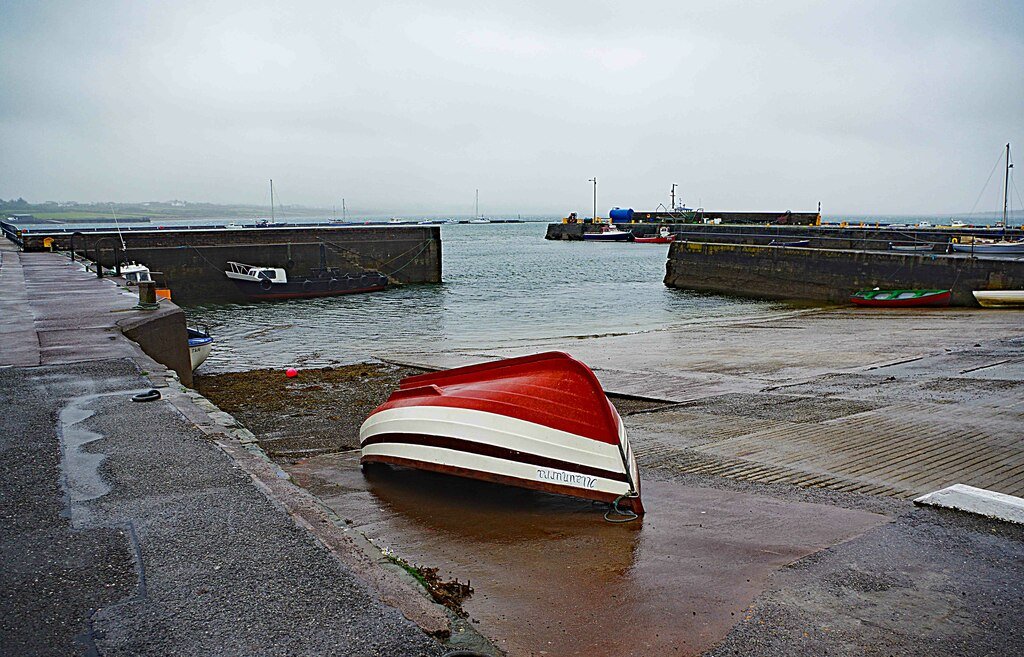
Knightstown harbour on Valentia Island, photographed in September 2018
Knightstown harbour on Valentia Island, photographed in September 2018 Source photograph; conditions and access may have changed. Photo: P L Chadwick ↗ · CC BY-SA 2.0

coast

Valentia Island

Valentia works best as an island day with a theme, rather than a detour where every viewpoint has to be collected. Knightstown offers a harbour-side starting point; the cable story and the lighthouse give two…

Open place page →
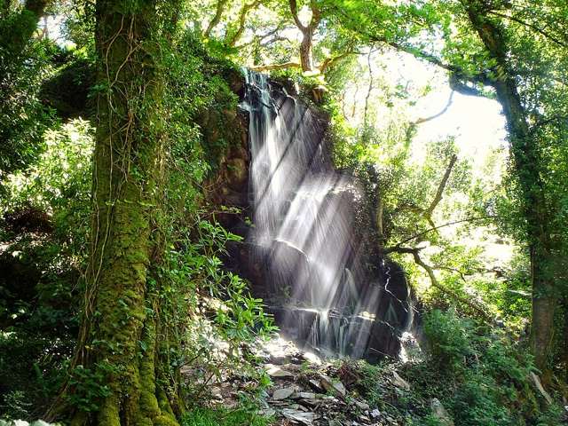
Waterfall at Kells Bay in County Kerry
Waterfall at Kells Bay in County Kerry. Source photograph: 2017-07-24 13:58:43. Appearance, displays and access may have changed. Photo: Hauke Musicaloris ↗ · CC BY 2.0

nature

Kells Bay House And Gardens

Kells Bay House and Gardens combines a coastal Kerry setting with a collection of tree ferns, palms and other unusual plants. The visitor route includes a walled garden, riverside paths and woodland planting.…

Open place page →
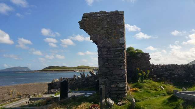
Ballinskelligs Abbey beside the shore
Ballinskelligs Abbey beside the shore. Resized for display. Photo: Phil Champion ↗ · CC BY-SA 2.0

heritage

Ballinskelligs Abbey

Ballinskelligs Abbey, also known as the Augustinian Priory, stands beside the bay in a setting closely connected with the Skelligs. The surviving church, cloister fragments and domestic remains make a…

Open place page →
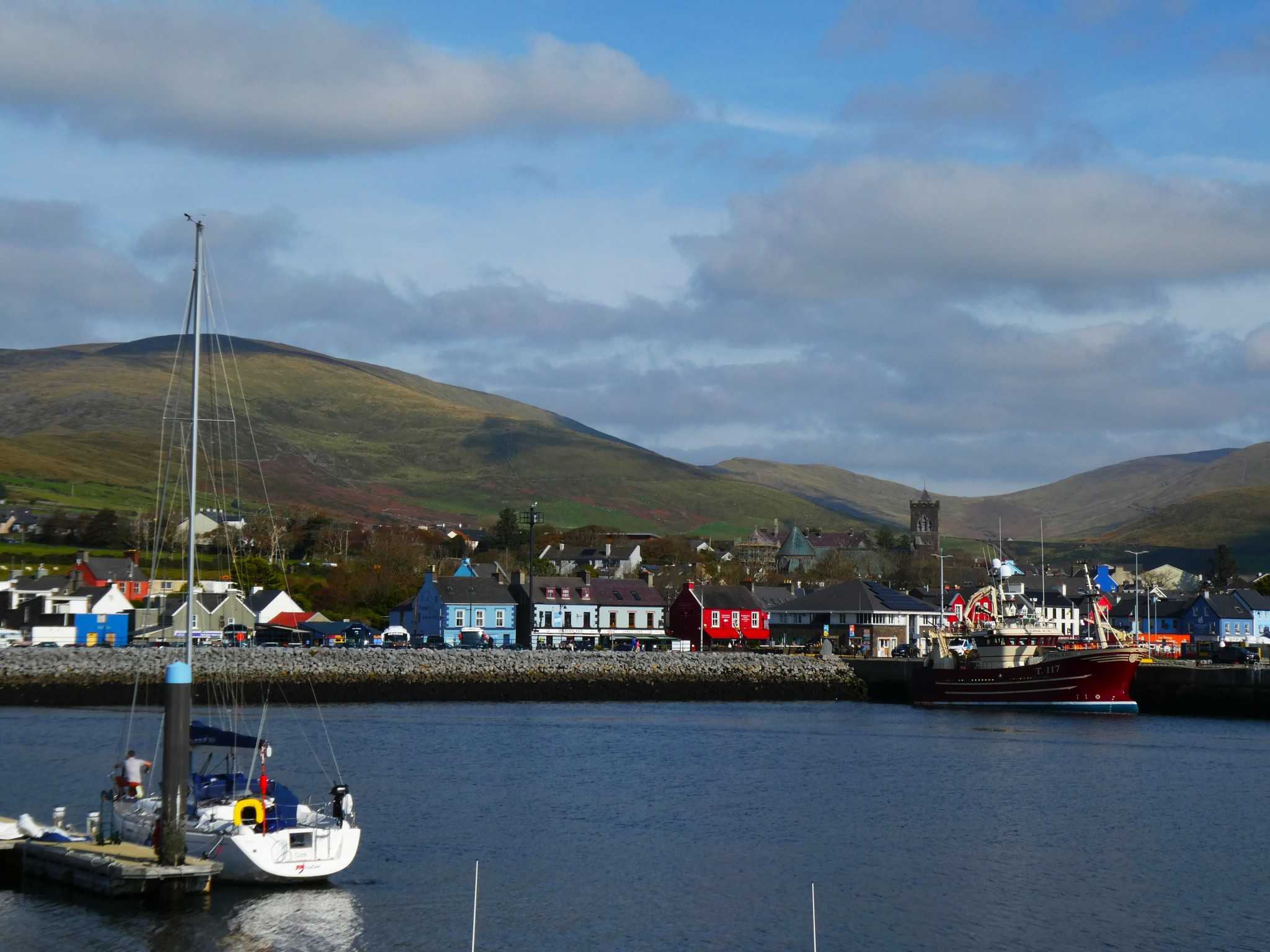
Dingle harbour and town with St Mary’s Church and hills behind
Dingle harbour and town, photographed on 12 October 2025. Source photograph; current conditions may differ. Photo: Maoileann ↗ · CC BY-SA 4.0

coast

Dingle

Dingle town is a harbour and streets visit that can anchor a peninsula stay. It is not a shorthand for driving every part of the Dingle Peninsula in one stop.

Open place page →
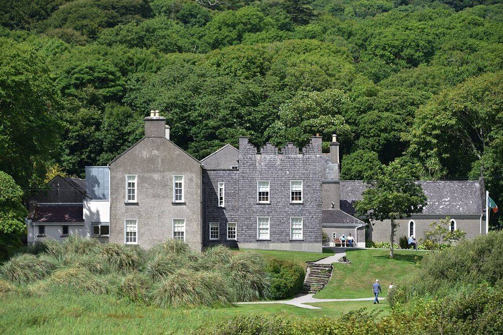
Derrynane House, Daniel O’Connell’s ancestral home
Derrynane House, Daniel O’Connell’s ancestral home. Source photograph; conditions and access may have changed. Resized from the credited original. Photo: August Schwerdfeger ↗ · CC BY 4.0

heritage

Derrynane House

Derrynane gives Daniel O’Connell a domestic setting. After the scale of the Ring of Kerry coast, the house’s rooms and personal objects bring the story back to one family and one political life. Leave some…

Open place page →
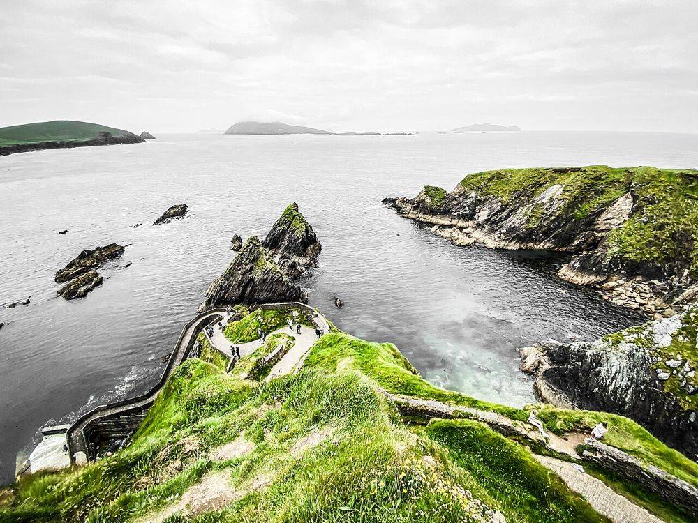
The winding descent to Dunquin Pier beneath the cliffs
The winding descent to Dunquin Pier beneath the cliffs. Source photograph; conditions and access may have changed. Resized from the credited original. Photo: Dieglop ↗ · CC BY-SA 4.0

coast

Cé Dhún Chaoin — Dunquin Pier

Dunquin’s zigzag path is easy to recognise from photographs, but the practical detail gets lost in the image: the pier is far below you. Look first from a permitted place above. Walking down is an optional…

Open place page →

External visitor reviews

Find the matching listing and reviews on Google Maps ↗

Part of a bigger journey

Location & access

Getting your bearings

No climbing. View the fort from the permitted ground-level route and keep off its historic walls and terraces.

51.95596, -10.25771 · Reference point; confirm the correct entrance and access. Map © OpenStreetMap contributors.

Orientation only: a verified public entrance is not established by this pin. Use the operator arrival information before travel.

Sources & place context

Browse more Ireland places →