The river route
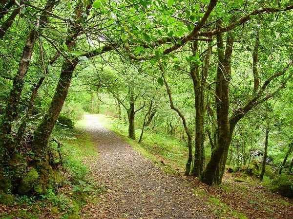
Begin with the signed River Walk if you want a shorter introduction to the reserve. Look at the water and woodland margins from the path. Mostly level is not a guarantee of a completely smooth or step-free surface.

nature · Cork
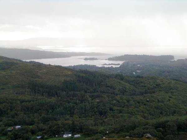
Glengarriff Woods Nature Reserve offers a close look at Atlantic woodland, with river paths, mossy surfaces and several routes of differing effort. The shorter River Walk provides a useful introduction, while other trails climb into rougher ground. Choose the route that suits your footing and time rather than assuming the whole reserve is equally easy.
From research
Choose the woods when you want to spend time within the landscape rather than move between distant viewpoints. The river and woodland floor reward a slow pace, especially when you stop to notice small details. A short path can make a complete visit; steeper lookouts and rougher trails are optional, separate decisions.
Know before you book: This is an outdoor walking visit. Use the current signed routes, wear suitable shoes and respect temporary closures or works.
Place highlights
Begin with the signed River Walk if you want a shorter introduction to the reserve. Look at the water and woodland margins from the path. Mostly level is not a guarantee of a completely smooth or step-free surface.
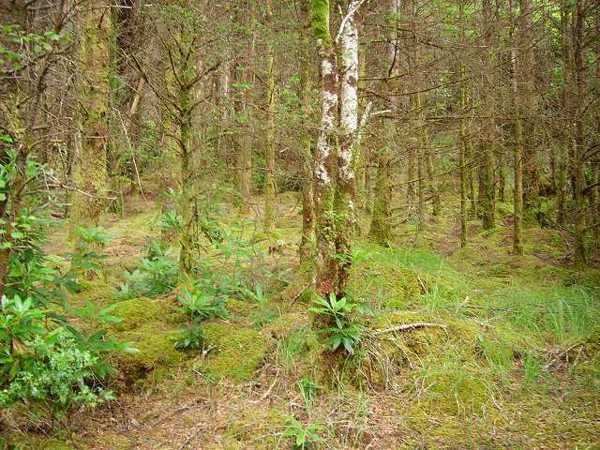
Notice the combination of trees, ferns, mosses and lichens rather than searching only for a grand viewpoint. Damp conditions are part of the woodland character, but they also make footwear and careful footing important throughout the visit.
Study the trail information before adding another walk. The Big Meadow, Lady Bantry’s Lookout and Esknamucky routes offer different experiences and effort. Choose one deliberately, keeping enough daylight and energy for a comfortable return to the main approach.
The story behind the visit
The reserve was established in 1991 and is owned and managed by the National Parks and Wildlife Service. Its Atlantic woodland setting supports a rich combination of plants and habitats, with the river forming a natural thread through the visitor routes. The attraction is not simply a collection of paths. Looking at how vegetation occupies damp ground, rock and tree surfaces gives a short walk depth without needing to leave the established trail. Source ↗
The operator distinguishes an easy River Walk of about twenty-five minutes from longer or rougher options. The Big Meadow walk uses mostly level woodland track, while Lady Bantry’s Lookout has a steep climb and Esknamucky involves rougher ground. These distinctions matter when planning a visit: one reserve contains several levels of effort. Choose from the current trail information, and avoid turning the existence of a short easy route into an assumption that every connecting path will offer the same conditions. Source ↗
Visitor information
The reserve entrance is on the Kenmare Road near Glengarriff. Use the signed main visitor approach; this pin references the published River Walk start. Official visitor information ↗
Confirm current access and visitor arrangements with the operator.
No. Choose a shorter permitted walk if that better fits your time, fitness or conditions. Source ↗
No. Watch quietly from the path and leave animals space; sightings cannot be promised. Source ↗
Nearby options
Explore other places in the area, then use live directions to plan your journey.
heritage
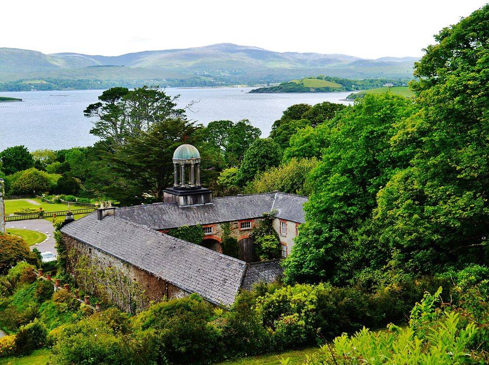
At Bantry House, the best view is also a clue to the estate’s design: house, terraces and bay are arranged to be read together. Look back as you move through the garden. The rising ground changes the…
Open place page →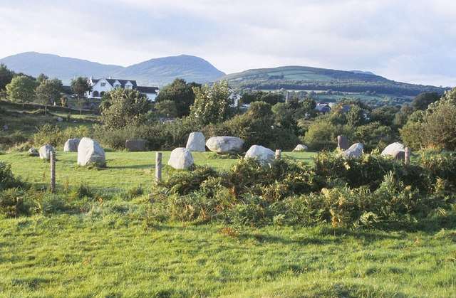
heritage
Kenmare Stone Circle sits close to the town centre, bringing a prehistoric monument into an easy walking itinerary. Fifteen large stones form an oval enclosure around a central boulder monument. Its compact…
Open place page →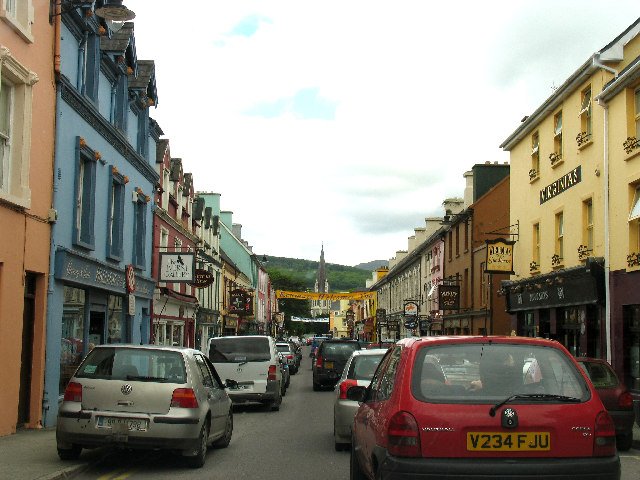
attraction
Choose Kenmare as the unhurried town portion of a scenic drive: park legally, have time to explore and decide whether a meal fits before the return. It is a destination in its own right, not merely a turning…
Open place page →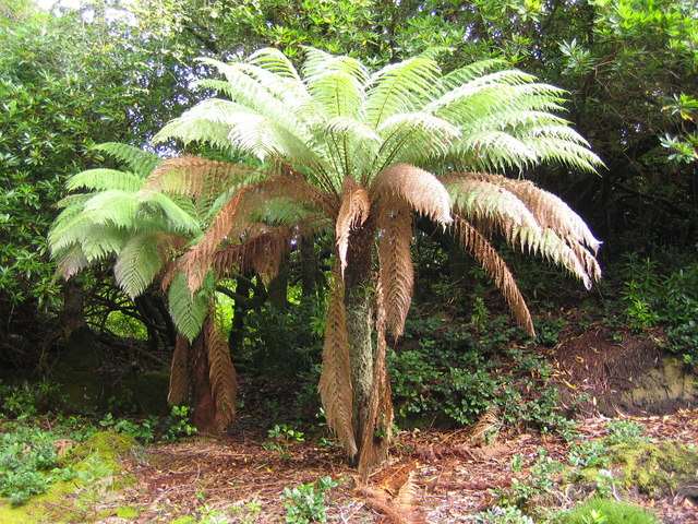
nature
Derreen is a woodland garden at Lauragh on the Beara Peninsula, where winding paths pass through tree ferns, bamboo, rhododendrons and mature trees. Its sheltered, damp coastal setting is part of the…
Open place page →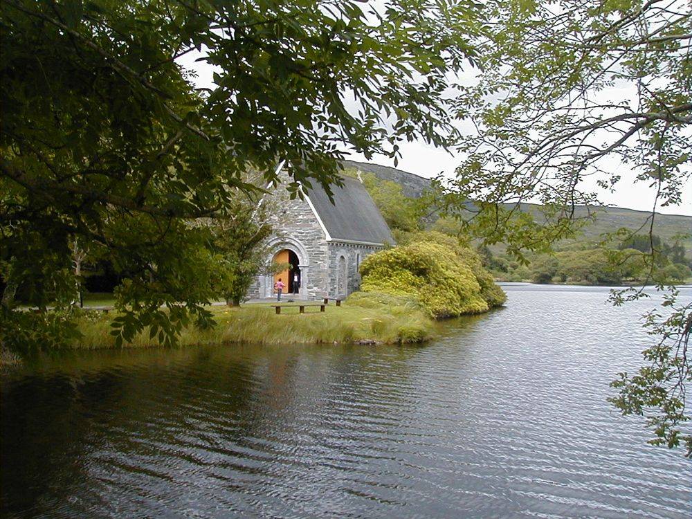
nature
Gougane Barra begins with the familiar little oratory beside the lake, but the forest valley behind it is what turns a photograph into an outing. Keep the lakeside pause and the walking decision separate.…
Open place page →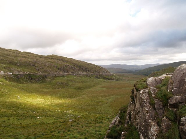
attraction
Choose Moll’s Gap when you want the scenic drive to include the shape of a mountain pass as well as lake views. Keep it a considered pause with a safe arrival, rather than an obligatory photograph beside a…
Open place page →Location & access
This is an outdoor walking visit. Use the current signed routes, wear suitable shoes and respect temporary closures or works.
51.75454, -9.56616 · Reference point; confirm the correct entrance and access. Map © OpenStreetMap contributors.
Orientation only: a verified public entrance is not established by this pin. Use the operator arrival information before travel.