Skip to content
TheLazyNick

heritage · Cork

Timoleague Franciscan Friary (Timoleague Abbey)

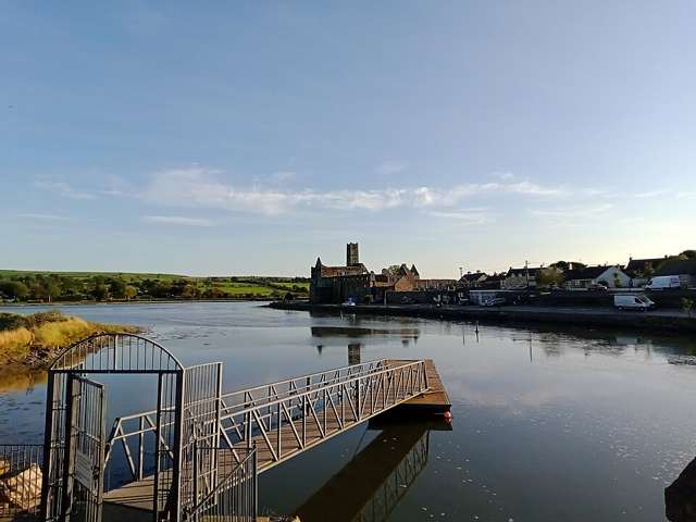
Timoleague Friary forms a striking silhouette beside the Argideen River in the village. Its extensive medieval remains connect West Cork’s coastal landscape with Franciscan history and local patronage. The current visit is strictly an exterior view: OPW explicitly says internal access is not permitted, so plan around the setting and visible outer architecture.

Add to planSaved trips & places

Saved on this browser. No account needed.

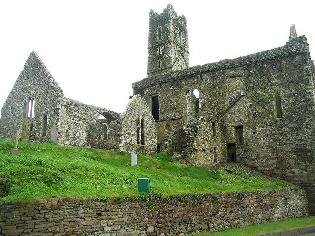
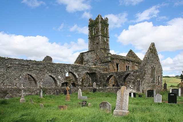
Timoleague Friary’s tower and church ruins
Timoleague Friary’s tower and church ruins. Resized for display. Photo: Ingo Mehling ↗ · CC BY-SA 3.0

From research

Is this worth your time?

Choose it for an atmospheric riverside heritage stop that can be appreciated from permitted external viewpoints. It is particularly useful if you want to connect architecture with the surrounding village and estuary. Visitors hoping to explore cloisters, passages or rooms need to understand that those interiors are outside the current offer.

Know before you book: External viewing only. Internal access is not permitted; stay outside barriers and respect the burial ground and river edge.

Place highlights

What you will actually see

01

Friary silhouette

Look at the surviving walls and tower from a permitted exterior position. The size of the complex becomes apparent without entering it, especially when you compare the church silhouette with the lower remains and the scale of the village around it.

02

Argideen setting

The river is integral to the friary’s visual character. A riverside view helps place the religious complex within a coastal settlement, while changing tides and weather alter the scene. Stay on public routes and away from unsafe banks.

03

Visible building phases

From outside, notice changes in height, openings and surviving wall lines. These suggest a complex that developed over time, although the details of internal arrangements must be understood through interpretation rather than explored physically during the current restriction.

The story behind the visit

The story behind the place

The Franciscan friary was established before 1316 on a site associated with an earlier religious settlement and St Molaga. OPW links its medieval patronage with the de Barry family and records later additions, including a bell tower in the early sixteenth century. The substantial surviving complex therefore belongs to several phases rather than one single building campaign. Source ↗

The friary’s history also connects it with manuscripts, burials and religious objects that travelled beyond the site. Such associations help explain why it mattered to a wide community, but they are not a list of exhibits available on arrival. The present restriction is explicit: visitors may view the exterior only. A careful external visit can still connect the visible architecture with the village and river without entering closed historic spaces. A closed interior can still be interpreted through the wider setting, provided that the visit respects the boundary between understanding the past and physically entering its remains. Source ↗

Visitor information

Tickets, timing and access

Opening
External viewing only; OPW states that internal access is not permitted.Confirm with the operator ↗
Admission
No interior admission is included; the suggested visit is an exterior architectural stop.Confirm with the operator ↗
Booking
No regular guided departure is advertised. Arrange organised group or specialist visits separately.Confirm with the operator ↗
Access
External viewing only; internal access is prohibited. Use public routes and respect river edges, burial areas and all barriers.Confirm with the operator ↗
Duration
Suggested allowance: 20–30 minutes for exterior views and the immediate village setting.Confirm with the operator ↗
Seasonal
Exposed outdoor remains can be wet or slippery. Short winter daylight calls for a flexible plan.Confirm with the operator ↗

Getting to the entrance

The friary stands in Timoleague village beside the Argideen River. Locate a permitted external viewpoint without entering the restricted monument. Official visitor information ↗

Your questions, answered

Confirm current access and visitor arrangements with the operator.

Can I walk through the cloister?

No. OPW’s current notice prohibits internal access. Source ↗

Are historic objects mentioned in the story on display here?

Do not assume so. The guide describes historical associations, not an on-site exhibition. Source ↗

Nearby options

Nearby places to explore

Explore other places in the area, then use live directions to plan your journey.

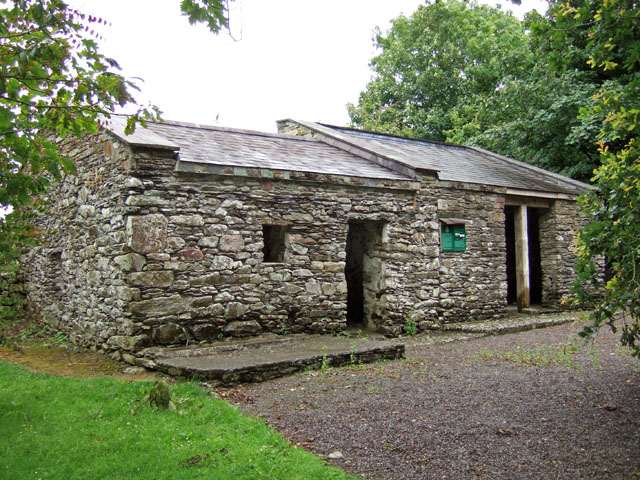
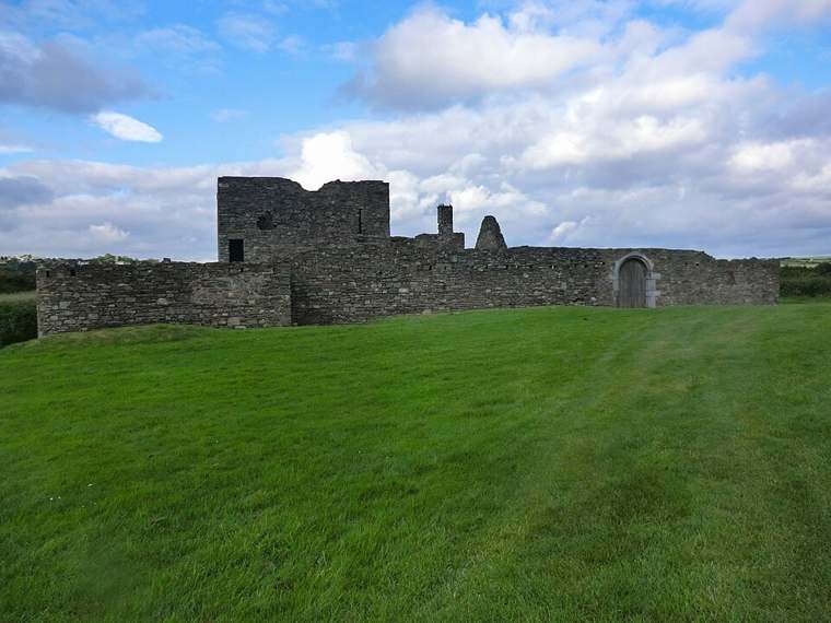
Original dwelling at Michael Collins birthplace
Original dwelling at Michael Collins birthplace. Source photograph: 2007-07-13. Appearance, displays and access may have changed. Photo: Mike Searle ↗ · CC BY-SA 2.0

heritage

Michael Collins Birthplace

Michael Collins’ birthplace at Woodfield is a modest rural heritage site near Clonakilty, where surviving buildings, foundations and interpretation connect the revolutionary leader with his family home. It is…

Open place page →
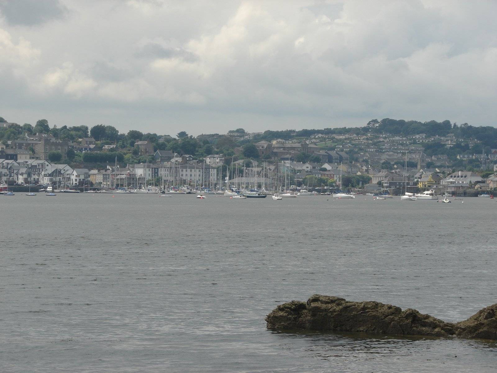
Kinsale harbour waterfront, photographed in June 2007
Kinsale harbour waterfront, photographed in June 2007 Source photograph; conditions and access may have changed. Photo: Ulrich Hoffmann (Uh-wiki) ↗ · CC BY-SA 3.0

city

Kinsale town

Kinsale is most rewarding when the harbour and small streets get time of their own. Use the town as a place to wander, eat and understand a maritime landscape, rather than a quick photograph between two forts.…

Open place page →
James Fort overlooking the Kinsale area.
James Fort overlooking the Kinsale area. Photo: Einaz80 ↗ · CC BY-SA 4.0

heritage

James Fort, Kinsale

James Fort occupies the Castlepark peninsula across the harbour from Kinsale. Visit for the earth-and-stone defensive landscape and harbour setting, with the understanding that this is an unguided historic…

Open place page →
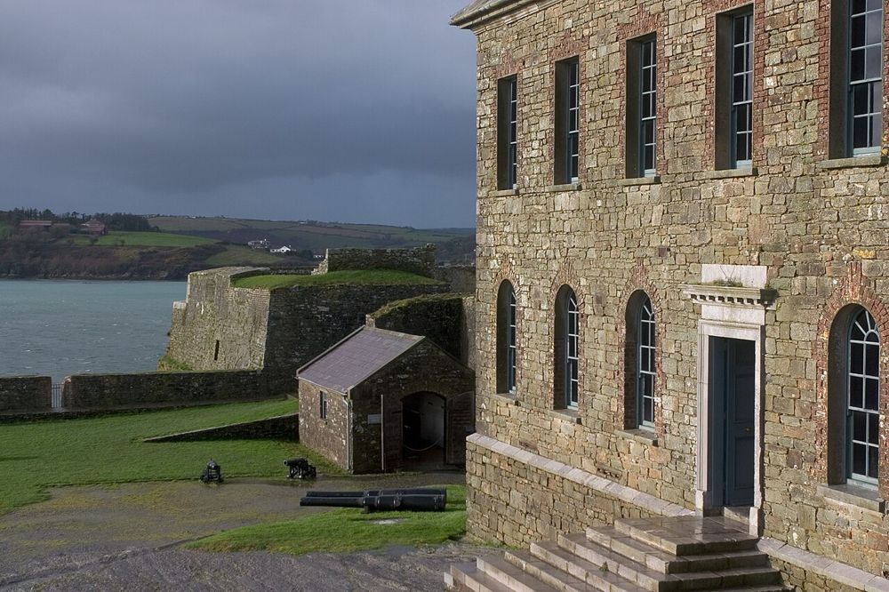
The fortifications and buildings of Charles Fort at Kinsale
The fortifications and buildings of Charles Fort at Kinsale. Source photograph dated 2005. Source photograph; conditions and access may have changed. Resized from the credited original. Photo: Jimmy Harris ↗ · CC BY 2.0

heritage

Charles Fort

Charles Fort makes sense from its walls: Kinsale Harbour opens below, while the bastions bend the ground into a deliberate defensive shape. Even without a specialist interest in military history, walking…

Open place page →

External visitor reviews

Find the matching listing and reviews on Google Maps ↗

Part of a bigger journey

Location & access

Getting your bearings

External viewing only. Internal access is not permitted; stay outside barriers and respect the burial ground and river edge.

51.64299, -8.76327 · Reference point; confirm the correct entrance and access. Map © OpenStreetMap contributors.

Orientation only: a verified public entrance is not established by this pin. Use the operator arrival information before travel.

Sources & place context

Browse more Ireland places →