Skip to content
TheLazyNick

heritage · Cork

James Fort, Kinsale

James Fort occupies the Castlepark peninsula across the harbour from Kinsale. Visit for the earth-and-stone defensive landscape and harbour setting, with the understanding that this is an unguided historic site rather than a staffed museum.

Add to planSaved trips & places

Saved on this browser. No account needed.

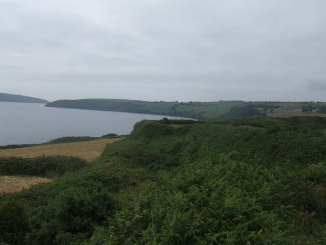
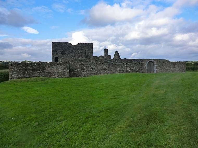
James Fort overlooking the Kinsale area.
James Fort overlooking the Kinsale area. Photo: Einaz80 ↗ · CC BY-SA 4.0

From research

Is this worth your time?

Choose James Fort for an outdoor visit to the surviving bastioned fort on Castlepark peninsula. It suits a self-directed stop with time to read the landscape; do not expect a staffed museum or a regular guided departure.

Know before you book: Plan a daylight visit and follow notices about access to the site and individual structures.

Place highlights

What you will actually see

01

Bastioned ground plan

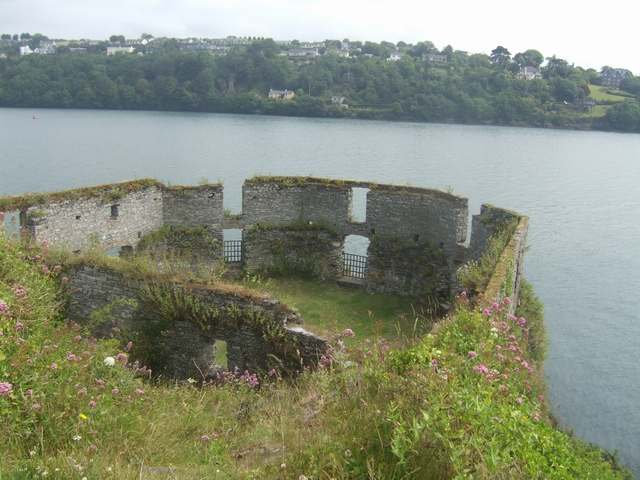
Read the fort’s projecting angles and enclosed interior as a defensive arrangement. OPW identifies it as a pentagonal bastioned work, which gives a useful starting point for understanding the ruins. Remain on an appropriate route: this is an unguided monument, and surviving walls do not imply safe access to every edge.

02

Peninsula and harbour relationships

The views towards the harbour and Charles Fort help explain why this headland mattered. Compare the protected inner waters with the routes approaching from the sea. The lower blockhouse is part of OPW’s historical account, but identifying it in the landscape is different from assuming a maintained or accessible route into it.

The story behind the visit

Defending Kinsale’s inner harbour

James Fort occupies Castlepark peninsula south of Kinsale. OPW records the construction of a pentagonal fort beginning in 1602 and completion in 1604, replacing earlier defences. Its history includes repairs and changes of control during later seventeenth-century conflicts. The ruins therefore belong to a changing military landscape rather than a single frozen battle scene, and their position is as important as the surviving masonry. Source ↗

The fort and the small blockhouse near the peninsula’s tip were designed to protect the inner harbour. OPW explains that shallow water on this side limited the main fort’s usefulness against a seaward attack. Looking across the harbour towards Charles Fort helps distinguish the two sites, but they should not be treated as identical structures or one combined visitor attraction. Each occupies its own position in Kinsale’s defensive history. Source ↗

Visitor information

Tickets, timing and access

Opening and seasonal access
This is an unguided National Monument. Plan a daylight visit and follow current access notices.Confirm with the operator ↗
Admission
Check current site information for any admission arrangements before visiting.Confirm with the operator ↗
Booking
Visit independently subject to current access arrangements; check OPW for any separately advertised guided events.Confirm with the operator ↗
Physical access
The site has uneven terrain, low lintels and slippery grass. Contact OPW about a suitable route if you need step-free access.Confirm with the operator ↗
Time to allow
Allow 45–60 minutes as a planning estimate for an exterior/landscape visit, excluding the journey from Kinsale.Confirm with the operator ↗
Seasonal notes
Plan a daylight visit and follow notices about access to the site and individual structures.Confirm with the operator ↗

Getting to the entrance

On the Castlepark peninsula south of Kinsale. Follow the public approach and current local signs. Official visitor information ↗

Your questions, answered

Confirm current access and visitor arrangements with the operator.

Do I need to book this visit?

Visit independently subject to current access arrangements; check OPW for any separately advertised guided events. Source ↗

What should I know about physical access?

The site has uneven terrain, low lintels and slippery grass. Contact OPW about a suitable route if you need step-free access. Source ↗

Nearby options

Nearby places to explore

Explore other places in the area, then use live directions to plan your journey.

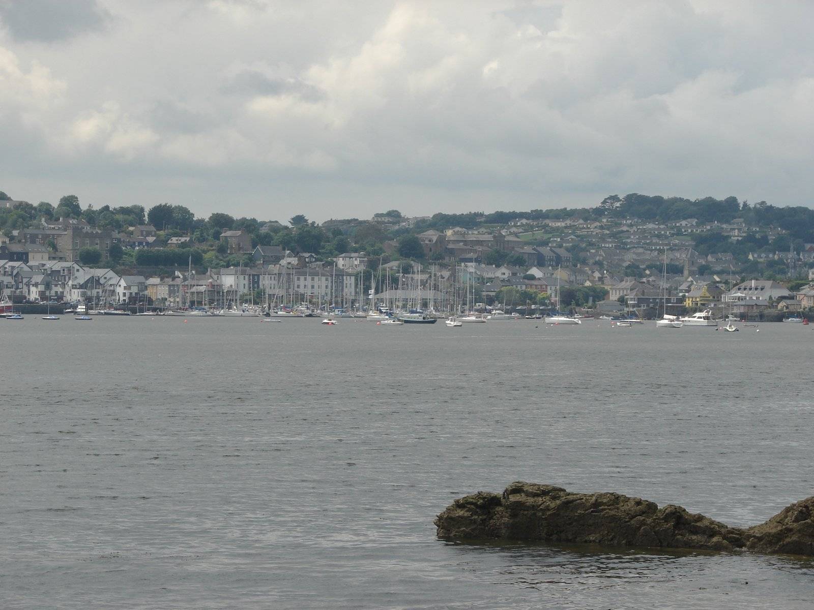
Kinsale harbour waterfront, photographed in June 2007
Kinsale harbour waterfront, photographed in June 2007 Source photograph; conditions and access may have changed. Photo: Ulrich Hoffmann (Uh-wiki) ↗ · CC BY-SA 3.0

city

Kinsale town

Kinsale is most rewarding when the harbour and small streets get time of their own. Use the town as a place to wander, eat and understand a maritime landscape, rather than a quick photograph between two forts.…

Open place page →
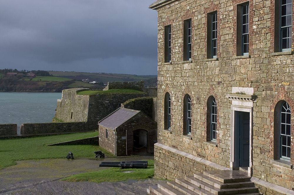
The fortifications and buildings of Charles Fort at Kinsale
The fortifications and buildings of Charles Fort at Kinsale. Source photograph dated 2005. Source photograph; conditions and access may have changed. Resized from the credited original. Photo: Jimmy Harris ↗ · CC BY 2.0

heritage

Charles Fort

Charles Fort makes sense from its walls: Kinsale Harbour opens below, while the bastions bend the ground into a deliberate defensive shape. Even without a specialist interest in military history, walking…

Open place page →
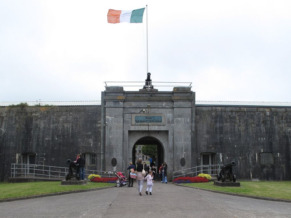
The entrance gates of Fort Mitchel on Spike Island
The entrance gates of Fort Mitchel on Spike Island. Source photograph; conditions and access may have changed. Resized from the credited original. Photo: Guliolopez ↗ · CC BY-SA 3.0

heritage

Spike Island

The ferry is only the opening scene at Spike Island. Beyond Cobh’s harbour lies a large fort, former prison spaces and enough separate exhibitions to make choosing part of the visit. Start with the guided…

Open place page →
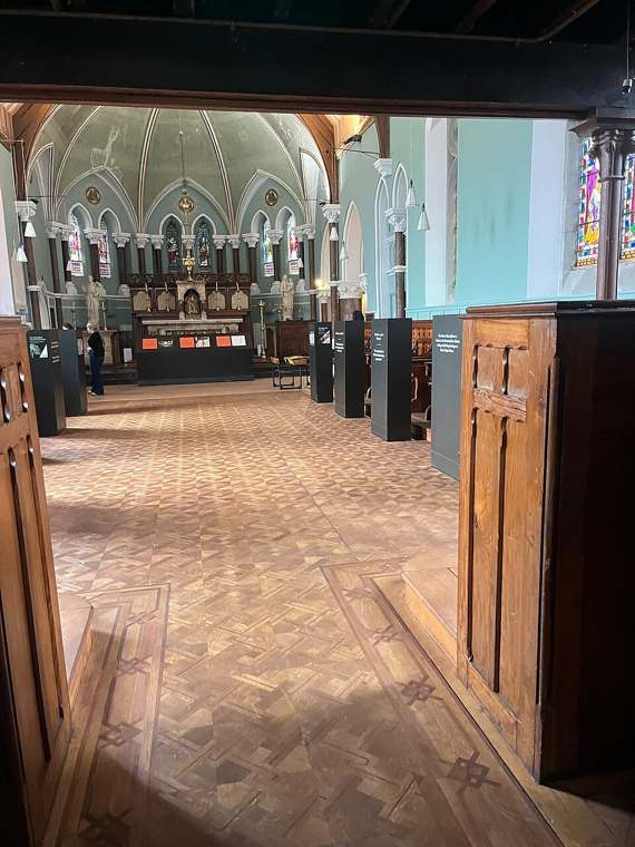
The church interior at Nano Nagle Place in Cork.
The church interior at Nano Nagle Place in Cork. Photo: Luaslou ↗ · CC BY-SA 4.0

heritage

Nano Nagle Place

Nano Nagle Place joins a museum of education and social change with gardens and an active community setting. It offers a quieter way into Cork’s history, with paid interpretation inside and outdoor spaces that…

Open place page →
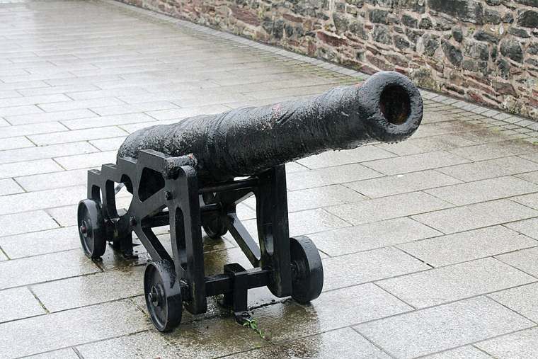
A cannon displayed at Elizabeth Fort.
A cannon displayed at Elizabeth Fort. Photo: Vimalkvn ↗ · CC BY-SA 4.0

heritage

Elizabeth Fort

Elizabeth Fort provides a compact way to read Cork from above and understand the defensive role of the hill south of the city centre. The courtyard is the easier part of the visit; the walls involve a steep…

Open place page →

External visitor reviews

Find the matching listing and reviews on Google Maps ↗

Part of a bigger journey

Location & access

Getting your bearings

Plan a daylight visit and follow notices about access to the site and individual structures.

51.69861, -8.51208 · Reference point; confirm the correct entrance and access. Map © OpenStreetMap contributors.

Orientation only: a verified public entrance is not established by this pin. Use the operator arrival information before travel.

Sources & place context

Browse more Ireland places →