Skip to content
TheLazyNick

nature · Antrim

Slemish Mountain

Slemish is a distinctive volcanic hill near Broughshane, closely associated in tradition with Saint Patrick’s years as a shepherd. The short route from the parking area reaches open, rocky ground with broad views when visibility is good. Despite its compact scale, the ascent is steep and can become slippery in wet weather.

Add to planSaved trips & places

Saved on this browser. No account needed.

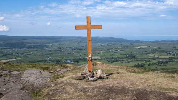
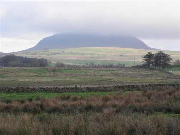
Slemish rising above the surrounding County Antrim countryside.
Slemish rising above the surrounding County Antrim countryside. Photo: Kenneth Allen ↗ · CC BY-SA 2.0

From research

Is this worth your time?

Choose Slemish when you want a short but strenuous hill climb rather than a long mountain day. A fine view is a possibility, not a certainty, and the rocky descent needs as much attention as the ascent. Allow time to turn back or enjoy the hill from below if the weather makes the summit unsuitable.

Know before you book: A short, steep and rocky climb; wet-weather footing can be difficult.

Place highlights

What you will actually see

01

Volcanic profile

The mountain’s shape reflects the resistant core of an extinct volcano. Look at that outline from below before beginning the climb. It gives the hill a strong identity even on a day when low cloud removes the distant summit panorama.

02

Rocky ascent

The route gains height quickly over steep, rocky ground. Take a measured pace and choose secure footing, leaving time for the return. The distance alone is a poor guide to effort; visitors who prefer gentler walks can still appreciate the landmark from the parking area.

03

Summit outlook

Clear conditions open views across the surrounding plain and towards distant coasts and hills. Pause at a safe point rather than moving towards an exposed edge for a photograph. Carry suitable clothing, since wind and weather on top can differ from conditions below.

The story behind the visit

The story behind the place

Slemish’s connection with Saint Patrick belongs to a powerful local tradition. The story places him here as an enslaved young shepherd before his later religious work in Ireland. The hill therefore attracts visitors interested in both landscape and pilgrimage. Keep that tradition distinct from the geological history: a volcanic landform and a remembered sacred landscape can give the same place different kinds of significance. Source ↗

The annual Saint Patrick’s Day climb is one expression of that association, but an ordinary visit need not follow a festival schedule. Spend time looking at the isolated profile and the farmland around it before deciding to climb. The council describes a return walk of about 1.5 kilometres, taking roughly an hour in good weather. That estimate depends on conditions and ability, not simply on distance. On wet rock, moving slowly is more useful than trying to match a published time. Leave the summit plan flexible and keep dogs on leads as requested. Source ↗

Visitor information

Tickets, timing and access

Opening
Official council listing says open all year; conditions can affect access.Confirm with the operator ↗
Admission
Free access.Confirm with the operator ↗
Booking
No ordinary summit-walk ticket is listed.Confirm with the operator ↗
Access
Steep rocky ground; dogs on leads.Confirm with the operator ↗
Duration
About an hour in good weather; allow extra time for stops and descent.Confirm with the operator ↗
Seasonal
Rapid weather changes and slippery wet rock can limit the climb.Confirm with the operator ↗

Getting to the entrance

Use the signed Slemish parking area near Broughshane; interpretation boards introduce the hill before the ascent. Official visitor information ↗

Your questions, answered

Confirm current access and visitor arrangements with the operator.

Is it an easy stroll?

No. The short route includes a steep, rocky climb. Source ↗

Is Patrick’s connection certain archaeological evidence?

The council presents the shepherd story as a tradition associated with the hill. Source ↗

Nearby options

Nearby places to explore

Explore other places in the area, then use live directions to plan your journey.

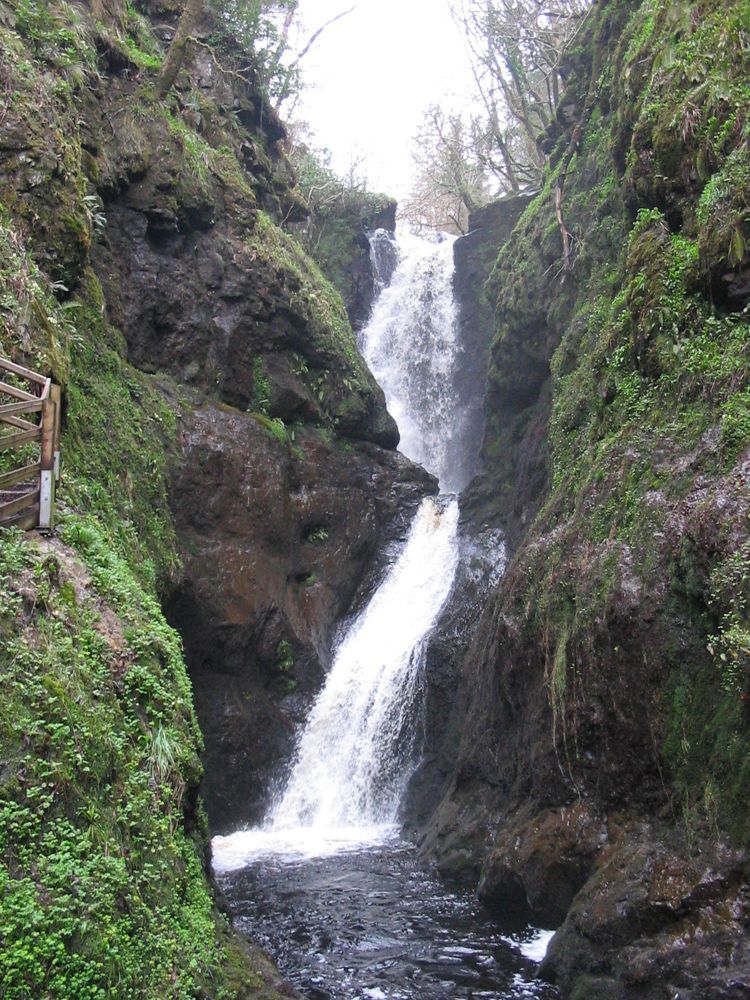
A waterfall in Glenariff Forest Park
A waterfall in Glenariff Forest Park. Source photograph dated 2005. Credited source photograph; appearance and access may have changed. Resized from the original. Photo: Kateshortforbob ↗ · CC BY-SA 3.0

nature

Glenariff Forest Park

Glenariff offers a change of texture after the Antrim coast: trees, river gorges and falling water instead of open headlands. The wooded setting makes the descent feel enclosed and the wider glen views more…

Open place page →
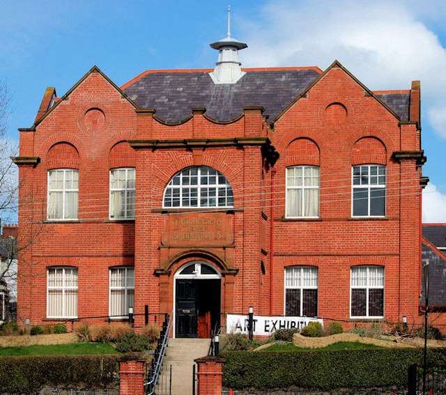
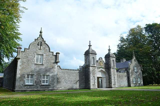
Larne Museum and Arts Centre in the former Carnegie Library
Larne Museum and Arts Centre in the former Carnegie Library. Resized for display. Photo: Albert Bridge ↗ · CC BY-SA 2.0

heritage

Larne Museum & Arts Centre

Larne Museum and Arts Centre occupies the town’s former Carnegie Free Library, combining local-history galleries with a changing arts programme. Maritime life, rural work, industry and conflict all feature in…

Open place page →
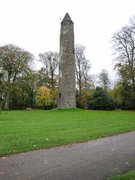
Antrim Round Tower standing within its public grounds.
Antrim Round Tower standing within its public grounds. Photo: Brian Shaw ↗ · CC BY-SA 2.0

heritage

Antrim Round Tower

Antrim Round Tower, known locally as the Steeple, survives from the town’s early monastic settlement. The approximately 28-metre tower is a striking vertical landmark within a much quieter historic site. The…

Open place page →
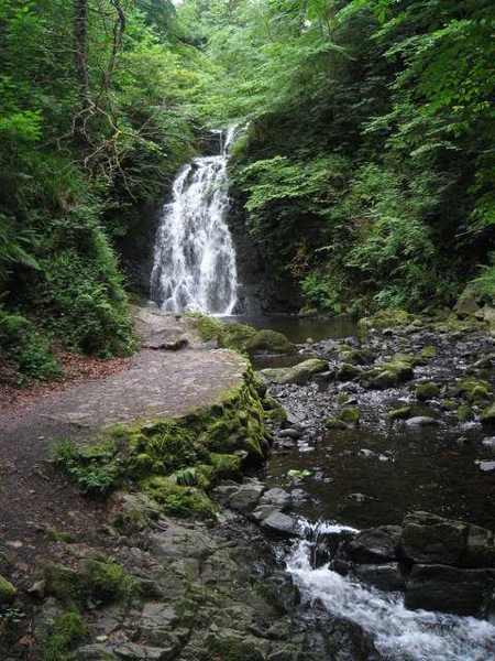
Gleno Waterfall above its rocky stream
Gleno Waterfall above its rocky stream. Resized for display. Photo: Puffer ↗ · CC BY-SA 2.0

nature

Gleno Waterfall

Gleno Waterfall lies in a small wooded glen close to Gleno village, reached by paths and steps from Waterfall Road. The enclosed setting makes this a compact landscape visit rather than a long mountain walk.…

Open place page →
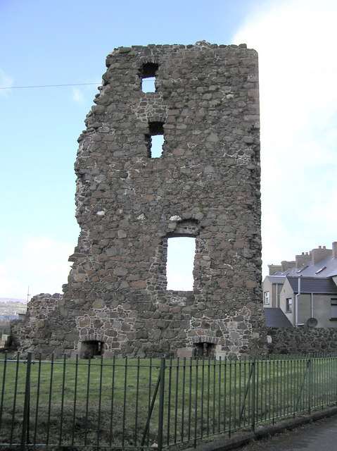
The surviving tower wall at Olderfleet Castle in Larne
The surviving tower wall at Olderfleet Castle in Larne. Resized for display. Photo: Kenneth Allen ↗ · CC BY-SA 2.0

heritage

Olderfleet Castle

Olderfleet Castle is a ruined harbour-side tower on Larne’s Curran peninsula. Today its built-up surroundings make it easy to miss the maritime logic of the position, but the structure once stood in a more…

Open place page →

External visitor reviews

Find the matching listing and reviews on Google Maps ↗

Part of a bigger journey

Location & access

Getting your bearings

A short, steep and rocky climb; wet-weather footing can be difficult.

54.88126, -6.09743 · Reference point; confirm the correct entrance and access. Map © OpenStreetMap contributors.

Orientation only: a verified public entrance is not established by this pin. Use the operator arrival information before travel.

Sources & place context

Browse more Ireland places →