Concentric enclosures
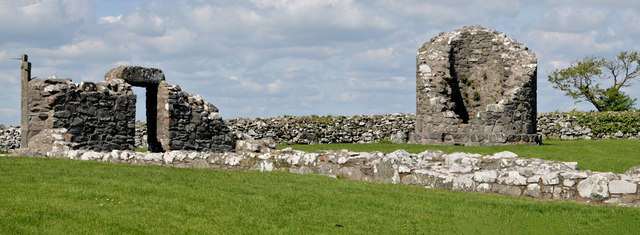
Look at how the enclosure walls organise the hill rather than walking directly to the church. Their relationship helps explain a settlement with different spaces for religious life, practical work and movement.

heritage · Down
Nendrum is an early ecclesiastical site on Mahee Island in Strangford Lough, with surviving enclosure walls, church remains and the base of a round tower. Its interest lies in the organisation of the whole settlement and its island setting. It is a quieter archaeological visit, best explored slowly rather than treated as a single ruined church.
From research
Choose Nendrum if you enjoy reading a site plan and imagining how worship, work and daily life fitted together. Start with the enclosures before concentrating on the church. The restored elements and original remains need to be distinguished, while any visitor-centre opening should be checked separately from outdoor access.
Know before you book: Outdoor monument access is free, subject to works. Some visible walls were restored in the 1920s; indoor facilities have separate arrangements.
Place highlights
Look at how the enclosure walls organise the hill rather than walking directly to the church. Their relationship helps explain a settlement with different spaces for religious life, practical work and movement.
View the church remains and round-tower base together. The scale is modest compared with a surviving full-height tower, but the relationship between the buildings is central to understanding the ecclesiastical centre.
Look for the interpreted workshop areas and consider the lough setting. Archaeological evidence of a tide mill adds an important economic dimension, without requiring a visitor to enter the shore or an excavation area.
The story behind the visit
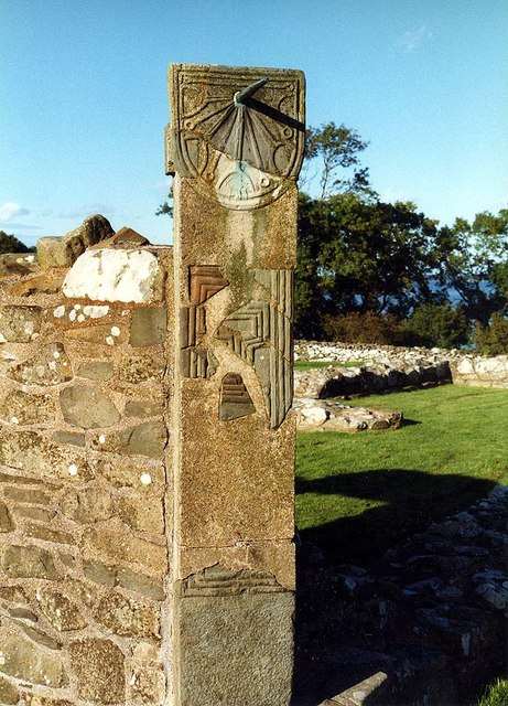
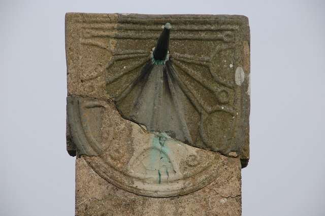
Nendrum is associated with St Mochaoi and is documented through clergy and bishops from the seventh century. The discovery of an early medieval tide mill supports the picture of an important community with practical resources as well as religious functions. Its lough-side location should therefore be understood as part of the settlement’s working environment, not simply a scenic backdrop. Source ↗
Excavations in 1922–1924 were followed by restoration of parts of the enclosure, church and tower. Today’s visible layout consequently combines archaeological remains with early twentieth-century presentation. Read the interpretive material carefully before assuming every standing section is untouched early medieval fabric. The nearby Mahee Castle belongs to a later and separate story; this guide focuses on the ecclesiastical enclosure and its associated remains. The visible plan is the most useful starting point: it connects separate traces into a settlement with different kinds of activity and space. Source ↗
Visitor information
Use the signed approach to Mahee Island from Ringneill Road near Comber, BT23 6EP. Follow the public road and monument signs; do not mistake private island land for open visitor grounds. Official visitor information ↗
Confirm current access and visitor arrangements with the operator.
The visible feature is its base rather than a full-height visitor tower. Source ↗
Parts of the church, tower and enclosures were restored after the 1920s excavations. Source ↗
Nearby options
Explore other places in the area, then use live directions to plan your journey.
heritage
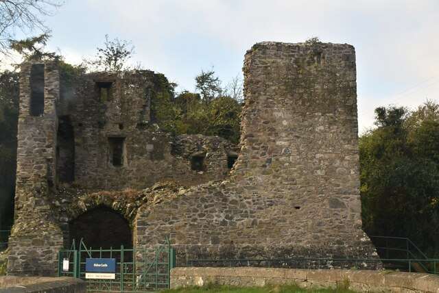
Mahee Castle is a small ruined tower house on Mahee Island, near the earlier ecclesiastical remains at Nendrum. It offers a different historical layer: a compact later residence with surviving ground-floor…
Open place page →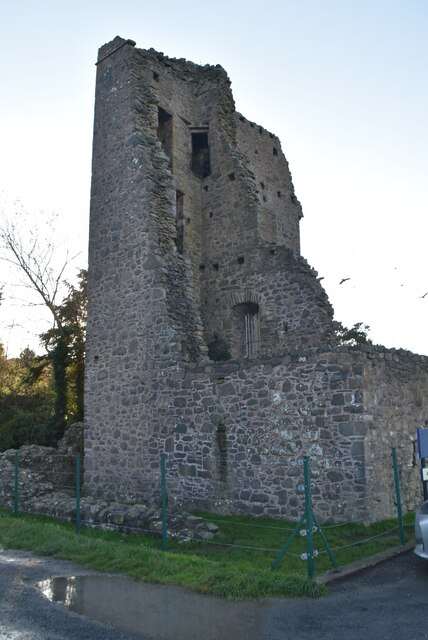
heritage
Sketrick Castle is a ruined tower house on an island at the edge of Strangford Lough. Its substantial surviving walls and enclosure traces reward a short, close look, while the waterfront setting helps explain…
Open place page →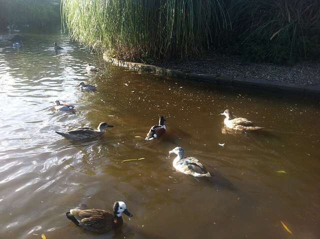
nature
Castle Espie is a WWT wetland centre on Strangford Lough, combining a managed wildlife collection with reserve paths and places to watch wild birds. It offers a nature-focused day with indoor facilities at the…
Open place page →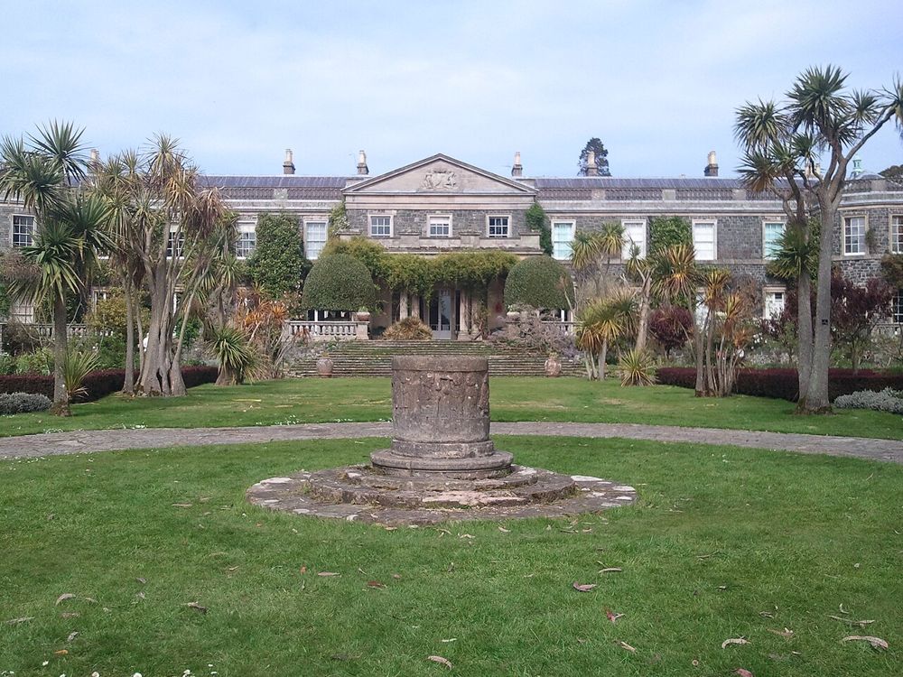
heritage
Mount Stewart works best when the garden and house are allowed to complement each other. Formal planting, the lake and wooded walks create several moods rather than one viewpoint beside a mansion.
Open place page →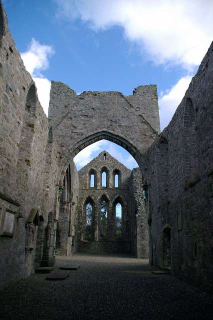
heritage
Grey Abbey is a ruined Cistercian monastery on the edge of Greyabbey village, where surviving church walls and the traces of cloister buildings make the medieval plan readable. Its parkland setting adds to the…
Open place page →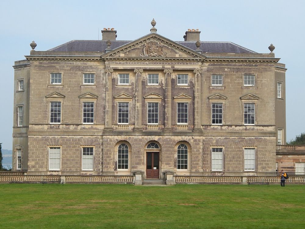
heritage
Castle Ward rewards visitors who notice differences: the house presents contrasting architectural faces, while its estate stretches towards Strangford Lough. The better visit leaves room for both the domestic…
Open place page →Location & access
Outdoor monument access is free, subject to works. Some visible walls were restored in the 1920s; indoor facilities have separate arrangements.
54.49817, -5.64780 · Reference point; confirm the correct entrance and access. Map © OpenStreetMap contributors.
Orientation only: a verified public entrance is not established by this pin. Use the operator arrival information before travel.