Skip to content
TheLazyNick

coast · Mayo

Keel Beach, Achill Island

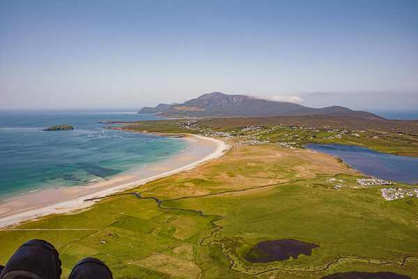
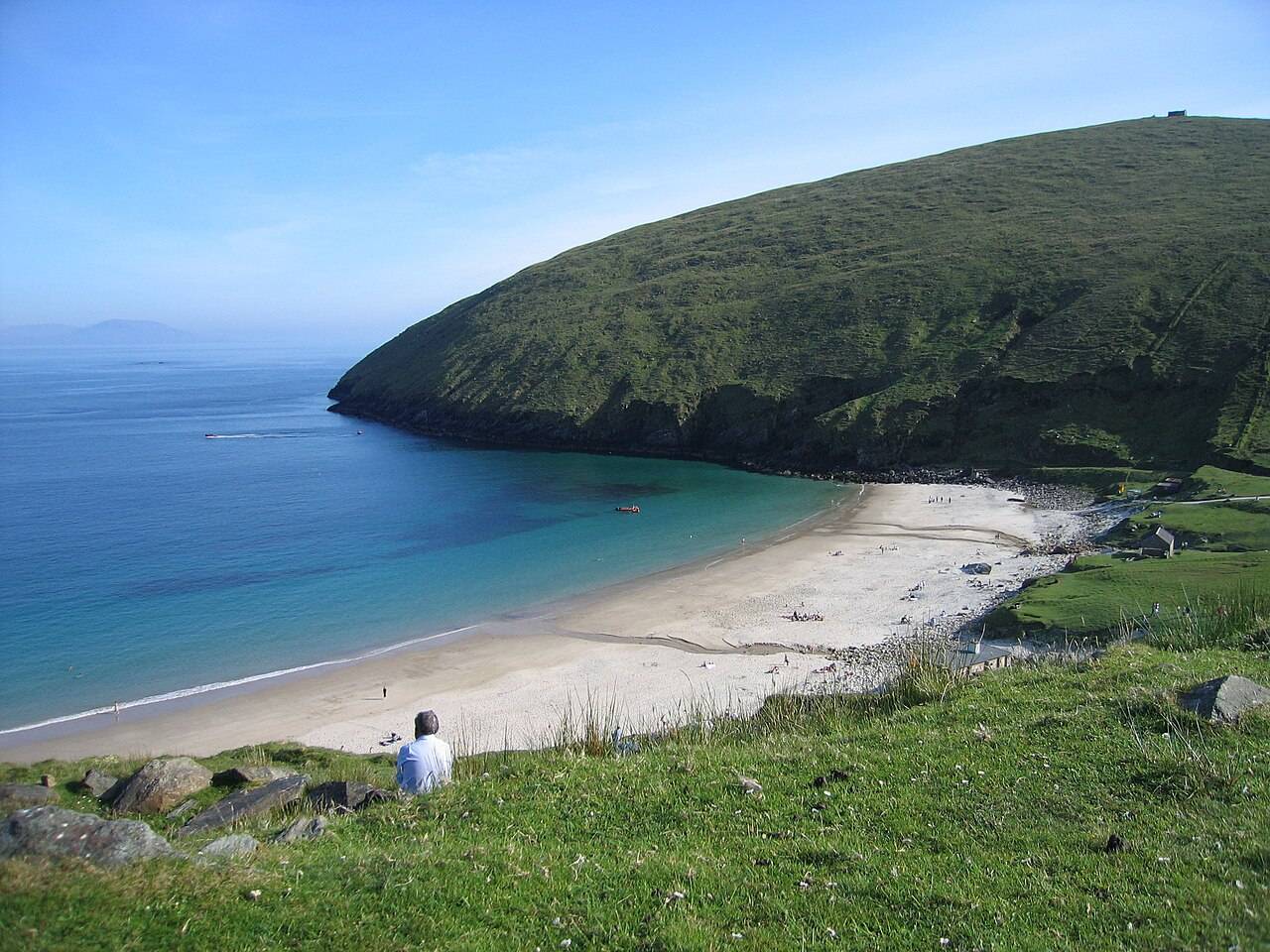
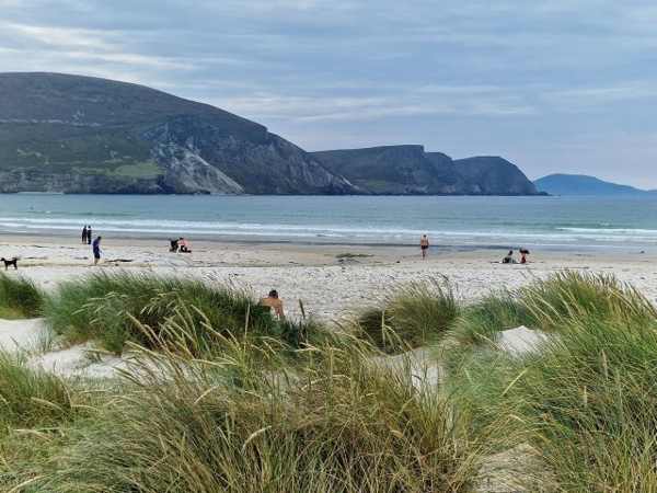
Keel Beach stretches beside the village of Keel on Achill Island, with a broad shore and mountain scenery beyond. It is also known as Trawmore Strand, and its dune-backed edge belongs to a wider landscape of machair, heath and bog. A land-based walk offers plenty of interest without committing to a water activity.

Add to planSaved trips & places

Saved on this browser. No account needed.

Keel Beach on Achill Island.
Keel Beach on Achill Island. Photo: Adie Jackson ↗ · CC BY-SA 2.0

From research

Is this worth your time?

Choose Keel for an adaptable shoreline outing on an island that can be reached by road. Look along the beach towards the Minaun cliffs, then choose a turning point that fits the tide and weather. Lifeguard cover is seasonal, so a summer reputation should not be treated as a promise of supervision at other times.

Know before you book: This is an exposed outdoor visit. Tide, weather and local restrictions can change access; keep well back from cliffs and moving water.

Place highlights

What you will actually see

01

The long strand

Look along the shore towards the cliffs and choose a comfortable out-and-back walking section. Pause on the established public route and look carefully. Watch your footing as well as the view; keep well away from exposed edges for photographs.

02

The landward edge

Observe the low dunes and machair without walking across the vegetation or wet habitat. Compare this feature with the wider surroundings. Use permitted approaches, leave plants and wildlife undisturbed and avoid shortcuts across adjoining land or fragile coastal vegetation.

03

Mountain backdrop

Notice how Slievemore and the surrounding high ground frame the beach and nearby village. Choose a comfortable turning point before conditions limit the return. A shorter visit still reveals the place’s character; you need not reach every visible landmark.

The story behind the visit

The story behind the place

Fáilte Ireland describes Keel as a beach of sand and shingle backed by low dunes, extending eastwards towards the Minaun cliffs. It also records the name Trawmore Strand. These details explain why the beach is best understood as part of a larger landscape rather than simply a place for sea activities. The village, open shore and high ground sit close together, allowing a short walk to reveal several different aspects of Achill. Source ↗

The machair and wetter ground behind the shore support low-growing vegetation, while heath and blanket bog occupy higher land. Keeping to established access helps protect those transitions. The beach is used for several water sports, but that does not establish safe conditions for an independent visitor. Official information places lifeguard service in the summer months, with actual times displayed locally. Check the current beach board and water notices rather than assuming that supervision, suitable surf or swimming conditions accompany every visit. Source ↗

Visitor information

Tickets, timing and access

Opening
Visit in daylight and follow current access notices or barriers.Confirm with the operator ↗
Admission
Check local signs for parking or managed-access arrangements; no organised attraction ticket is advertised.Confirm with the operator ↗
Booking
Independent viewing has no scheduled departure; arrange specialist activities separately.Confirm with the operator ↗
Access
Use established public approaches; do not infer access across private land or beyond barriers.Confirm with the operator ↗
Duration
Allow about 60 minutes for a cautious visit with pauses, excluding travel.Confirm with the operator ↗
Seasonal
Wind, rain and short daylight can make a shorter outing preferable.Confirm with the operator ↗

Getting to the entrance

Follow signs to Keel on Achill Island and use the established public beach access. The road bridge allows arrival without a ferry. Official visitor information ↗

Your questions, answered

Confirm current access and visitor arrangements with the operator.

Must I complete a long walk?

No. Choose a shorter permitted outing that fits conditions and leaves a straightforward return. Source ↗

Is entering the water part of this visit?

No. This is a land-based visit; water activities need separate current safety advice. Source ↗

Nearby options

Nearby places to explore

Explore other places in the area, then use live directions to plan your journey.

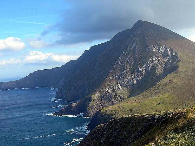
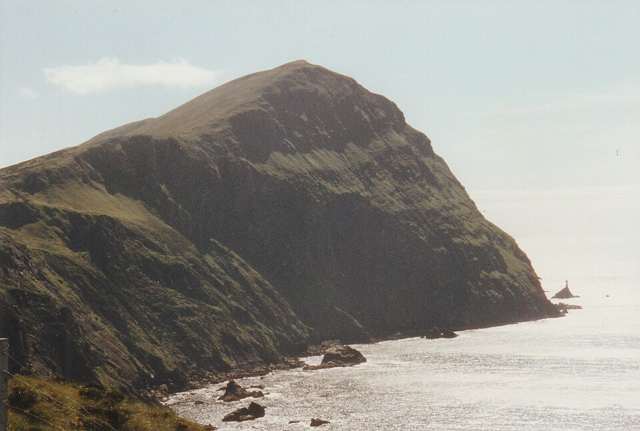
Croaghaun cliffs on Achill Island
Croaghaun cliffs on Achill Island. This landscape photograph does not identify Keem Beach or a verified walking approach. Photo: Boholaman ↗ · Public domain

coast

Achill Island

Achill is an island landscape with several possible days, not a single beach stop. Choose one area and a realistic route before adding viewpoints across the island.

Open place page →
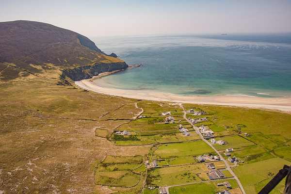
Keem Bay beach and headland on Achill Island
Keem Bay beach and headland on Achill Island. Historical source photograph; current beach access and conditions may differ. Photo: Eoghan888 ↗ · CC0

coast

Keem Bay

Keem Bay is a distinct outing at Achill’s western end: a steeply framed cove whose approach and weather deserve as much thought as the beach photograph.

Open place page →
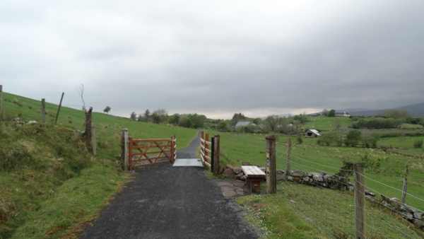
The wider Great Western Greenway west of Nixon’s Lough, away from the example Achill Sound–Cashel section.
The wider Great Western Greenway west of Nixon’s Lough, away from the example Achill Sound–Cashel section. Photo: Colin Park ↗ · CC BY-SA 2.0

nature

Great Western Greenway

The Great Western Greenway is Mayo’s walking and cycling corridor linking the Westport area with Newport, Mulranny and Achill. Its railway alignment links coast, farmland and mountain views. Plan a specific…

Open place page →
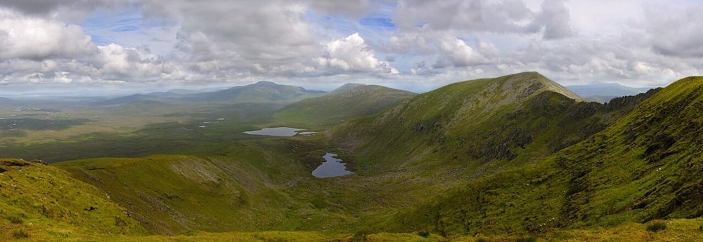
Open bog and hills in Wild Nephin National Park
Open bog and hills in Wild Nephin National Park. Source photograph; conditions and access may have changed. Photo: Youngbillyhappy ↗ · CC BY-SA 3.0

nature

Wild Nephin National Park

Wild Nephin’s open bog and mountain country can feel far removed from a busy coast road. Ballycroy Visitor Centre is the sensible starting point for understanding it: exhibitions and a short nature trail give…

Open place page →
Clare Island’s high coastal cliffs above the Atlantic
Clare Island’s high coastal cliffs above the Atlantic. Resized for display. Photo: Ridiculopathy ↗ · CC0

nature

Clare Island

Clare Island lies at the entrance to Clew Bay, combining a working island community, coastal scenery and a long history. Begin with the ferry from Roonagh and a confirmed return. Harbour views and quiet roads…

Open place page →

External visitor reviews

Find the matching listing and reviews on Google Maps ↗

Part of a bigger journey

Location & access

Getting your bearings

This is an exposed outdoor visit. Tide, weather and local restrictions can change access; keep well back from cliffs and moving water.

53.97170, -10.07362 · Reference point; confirm the correct entrance and access. Map © OpenStreetMap contributors.

Orientation only: a verified public entrance is not established by this pin. Use the operator arrival information before travel.

Sources & place context

Browse more Ireland places →