Skip to content
TheLazyNick

nature · Mayo

Great Western Greenway

The Great Western Greenway is Mayo’s walking and cycling corridor linking the Westport area with Newport, Mulranny and Achill. Its railway alignment links coast, farmland and mountain views. Plan a specific currently available section rather than assuming the entire line is an uninterrupted ride on the day.

Add to planSaved trips & places

Saved on this browser. No account needed.

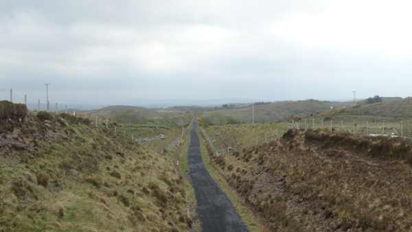
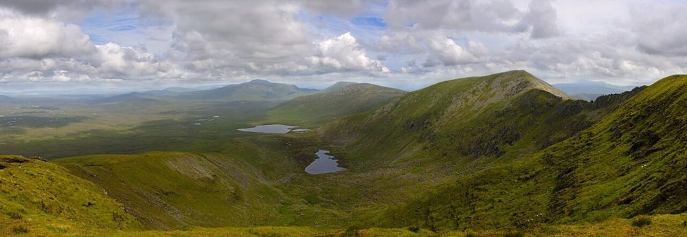
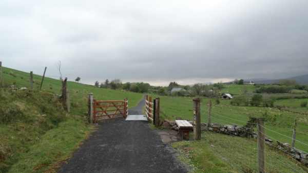
The wider Great Western Greenway west of Nixon’s Lough, away from the example Achill Sound–Cashel section.
The wider Great Western Greenway west of Nixon’s Lough, away from the example Achill Sound–Cashel section. Photo: Colin Park ↗ · CC BY-SA 2.0

From research

Is this worth your time?

Choose the Greenway if you want an outing whose length can be adjusted to your group and transport. The operator currently offers the Achill Sound–Cashel section as one defined option, while the wider corridor needs separate route planning. Confirm closures, diversions and the return before hiring equipment or arranging a one-way journey.

Know before you book: This is a route overview with a defined segment option, not a guarantee that every section is open continuously. Confirm current diversions and return transport.

Place highlights

What you will actually see

01

A selected section

Choose a named operator-described segment and confirm its current availability before setting off. Pause on the established public route and look carefully. Watch your footing as well as the view; keep well away from exposed edges for photographs.

02

The railway landscape

Notice how the former transport corridor fits the ground, while staying within the current greenway boundaries. Compare this feature with the wider surroundings. Use permitted approaches, leave plants and wildlife undisturbed and avoid shortcuts across adjoining land or fragile vegetation.

03

Coast and countryside

Look at the changing relationship between bay views, farmland and settlements, sharing the route considerately. Choose a comfortable turning point before conditions limit the return. A shorter visit still reveals the place’s character; you need not reach every visible landmark.

The story behind the visit

The story behind the place

The greenway reuses much of the former Westport–Achill railway corridor, whose sections opened during 1894 and 1895. The operator’s history records the end of passenger services in 1934 and freight in 1937. That background helps explain the generally gentle alignment, but the present route is a modern walking and cycling facility rather than a preserved railway journey. Look for how the corridor connects communities while recognising that today’s access arrangements and boundaries are its own. Source ↗

The council-backed operator currently describes the Achill Sound–Cashel section as a five-kilometre multi-use route including boardwalk, with green-arrow waymarking. This provides one concrete way to plan a shorter visit within the wider network. Access over participating land is permissive, so respect signs, farming activity and temporary restrictions. Maintenance can interrupt individual sections, and diversions may change the length or character of an outing. Use current operator advice for the chosen segment and keep the return arrangements separate from the scenic appeal of the full corridor. Source ↗

Visitor information

Tickets, timing and access

Opening
Confirm the chosen segment’s current access, closures and diversions with the operator.Confirm with the operator ↗
Admission
Public route access is separate from bike hire, guiding or shuttle charges.Confirm with the operator ↗
Booking
Book equipment or return transfers separately and check their operating dates.Confirm with the operator ↗
Access
Shared walking and cycling route; respect permissive access, crossings, boardwalk and local signs.Confirm with the operator ↗
Duration
Allow about 2 hours for a short selected section with pauses; longer rides need a separate plan.Confirm with the operator ↗
Seasonal
Weather, maintenance and short daylight can change the suitable section or distance.Confirm with the operator ↗

Getting to the entrance

Choose a named trailhead for your selected section. The operator’s Achill reference is 53.93048, -9.92915; confirm your return or shuttle separately. Official visitor information ↗

Your questions, answered

Confirm current access and visitor arrangements with the operator.

Is the whole corridor guaranteed open?

No. Confirm current availability and diversions for every section you intend to use. Source ↗

Does the time allowance cover Westport to Achill?

No. It is for a shorter selected outing, with return travel planned separately. Source ↗

Nearby options

Nearby places to explore

Explore other places in the area, then use live directions to plan your journey.

Open bog and hills in Wild Nephin National Park
Open bog and hills in Wild Nephin National Park. Source photograph; conditions and access may have changed. Photo: Youngbillyhappy ↗ · CC BY-SA 3.0

nature

Wild Nephin National Park

Wild Nephin’s open bog and mountain country can feel far removed from a busy coast road. Ballycroy Visitor Centre is the sensible starting point for understanding it: exhibitions and a short nature trail give…

Open place page →
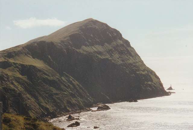
Clare Island’s high coastal cliffs above the Atlantic
Clare Island’s high coastal cliffs above the Atlantic. Resized for display. Photo: Ridiculopathy ↗ · CC0

nature

Clare Island

Clare Island lies at the entrance to Clew Bay, combining a working island community, coastal scenery and a long history. Begin with the ferry from Roonagh and a confirmed return. Harbour views and quiet roads…

Open place page →
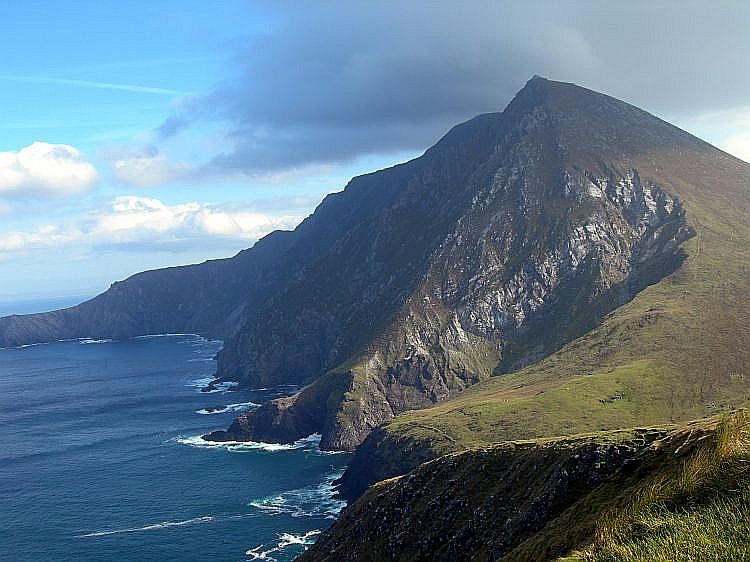
Croaghaun cliffs on Achill Island
Croaghaun cliffs on Achill Island. This landscape photograph does not identify Keem Beach or a verified walking approach. Photo: Boholaman ↗ · Public domain

coast

Achill Island

Achill is an island landscape with several possible days, not a single beach stop. Choose one area and a realistic route before adding viewpoints across the island.

Open place page →
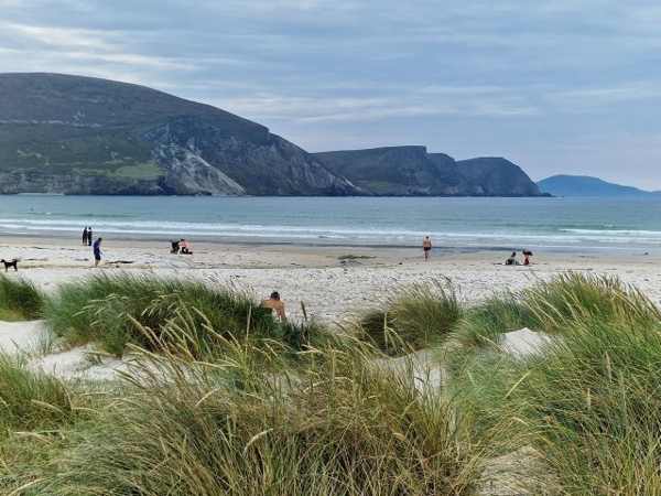
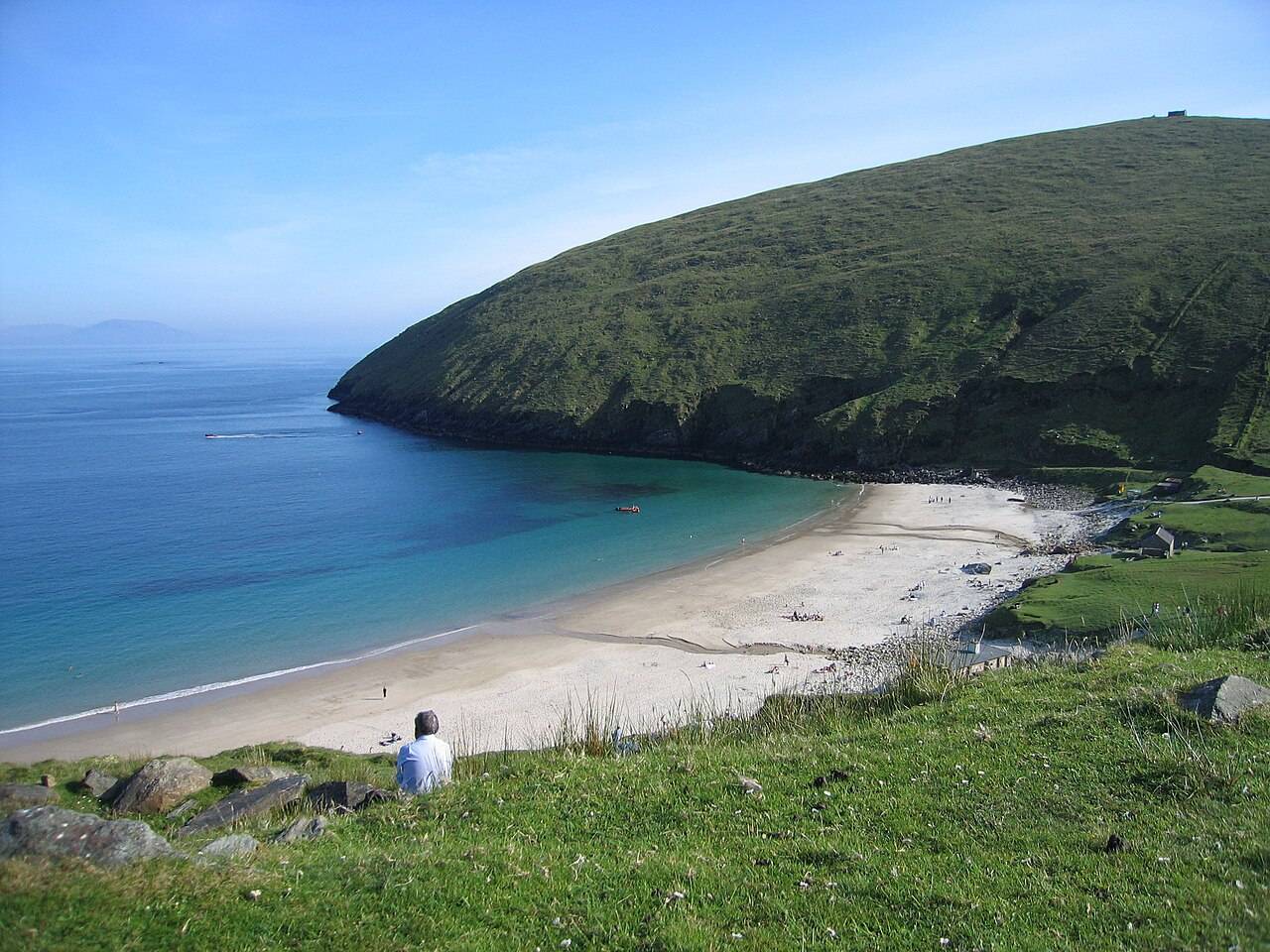
Keem Bay beach and headland on Achill Island
Keem Bay beach and headland on Achill Island. Historical source photograph; current beach access and conditions may differ. Photo: Eoghan888 ↗ · CC0

coast

Keem Bay

Keem Bay is a distinct outing at Achill’s western end: a steeply framed cove whose approach and weather deserve as much thought as the beach photograph.

Open place page →

External visitor reviews

Find the matching listing and reviews on Google Maps ↗

Part of a bigger journey

Location & access

Getting your bearings

This is a route overview with a defined segment option, not a guarantee that every section is open continuously. Confirm current diversions and return transport.

53.93048, -9.92915 · Reference point; confirm the correct entrance and access. Map © OpenStreetMap contributors.

Orientation only: a verified public entrance is not established by this pin. Use the operator arrival information before travel.

Sources & place context

Browse more Ireland places →