The castle remains
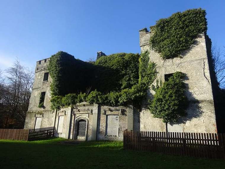
View the ruin from the permitted path and compare its surviving walls with the estate features around it. Keep outside barriers; the attraction is the exterior setting rather than an assumed building interior.

nature · Kildare
Donadea combines forest paths with the surviving traces of a country estate. A castle ruin, planted avenues and a small lake give the walk more variety than a simple woodland loop. Choose your route first, then allow time to notice the older landscape threaded through the trees.
From research
Choose this for an outdoor Kildare visit with a mix of walking and heritage. The short lake circuit offers a different outing from a longer woodland trail. Avoid trying to combine every loop into one hurried visit; the park is more rewarding when the route matches your pace.
Know before you book: This guide covers public forest paths and exterior heritage features, not entry to the ruined castle or church. Follow signs and barriers around old structures. Trails can be wet, and daylight rather than the car-park closing hour should shape a comfortable winter walk.
Place highlights
View the ruin from the permitted path and compare its surviving walls with the estate features around it. Keep outside barriers; the attraction is the exterior setting rather than an assumed building interior.
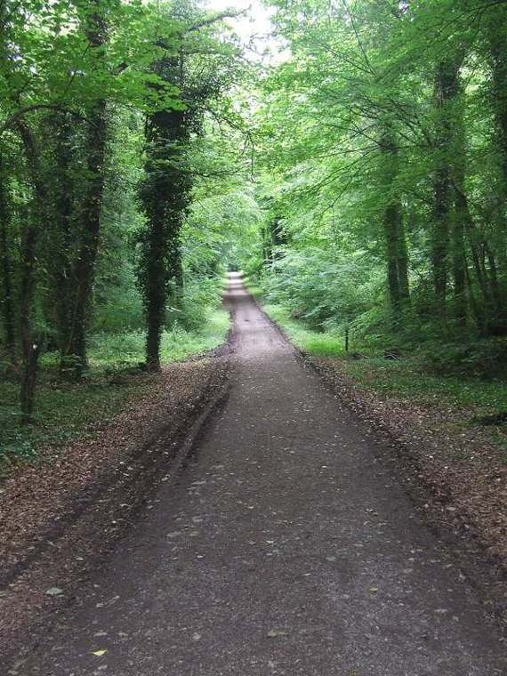
Choose a signed path that suits your time and access needs. Notice the contrast between open water, planted avenues and denser trees as you move through the former estate.
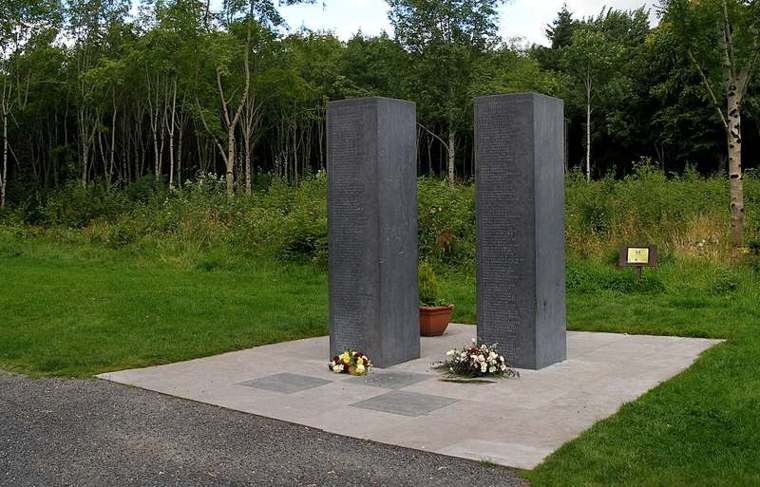
The paired limestone forms add a more recent place of remembrance to the landscape. Pause respectfully and read the on-site interpretation rather than treating it simply as a landmark on a fitness route.
The story behind the visit
Donadea was an Aylmer family estate before becoming a public forest park. Discover Ireland describes extensive nineteenth-century works, including tree planting, the lake and changes to the surrounding roads. The walk is therefore through a landscape shaped by people as well as woodland growth. Source ↗
The ruins and other estate features include the castle, walled gardens, church, ice house and boat house. Coillte identifies the lime avenue as a former entrance. Looking at these features together helps explain how a working demesne extended far beyond its principal residence. Source ↗
The demesne opened as a forest park in 1981. Today its trails provide different ways into the same landscape, from a short lake circuit to longer woodland walking. The survival of old structures alongside recreation makes route choice part of how you read the place. Source ↗
Visitor information
Use Donadea Forest Park, County Kildare, and the operator’s directions. Coillte locates it south of Kilcock and north of Naas. Its published map point identifies the recreation site; follow the signed entrance and current trail map for the route you select. Official visitor information ↗
Confirm current access and visitor arrangements with the operator.
This guide covers exterior viewing from public paths. Do not enter ruins or cross barriers without explicit permission and on-site direction. Source ↗
No. Coillte states that payment is cashless, using contactless card or an online payment app. Source ↗
Different sources describe the longer loop differently. Choose the signed route on the current Coillte map; the planner allowance is not a promise to complete every trail. Source ↗
Nearby options
Explore other places in the area, then use live directions to plan your journey.

heritage
Stationary engines and a walled garden at Straffan, with scheduled steam-ups that change the character of the visit.
Open place page →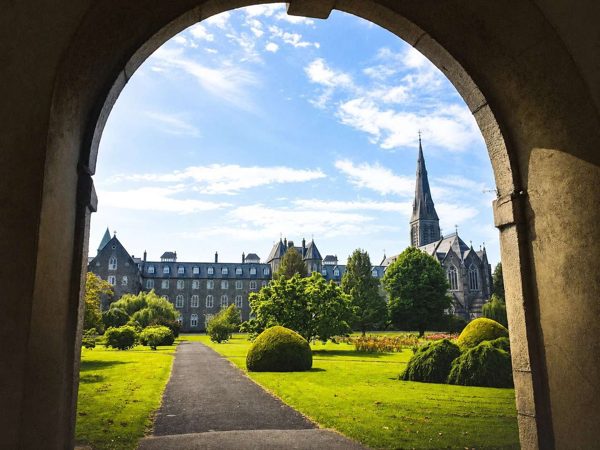
heritage
A town and historic college outing, with chapel and museum visits dependent on their own visitor arrangements.
Open place page →
heritage
An ornamental-farm landscape with a lake walk and follies, requiring a confirmed opening or appointment.
Open place page →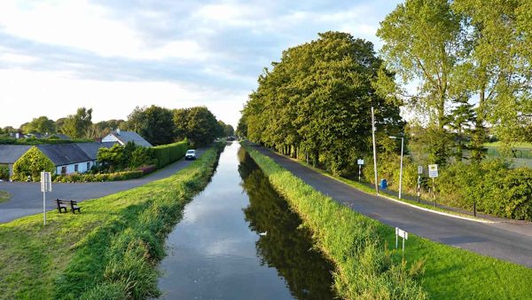
nature
A canal outing around Sallins and the Naas branch, with different route directions and surfaces to check before setting out.
Open place page →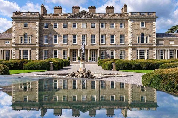
nature
A tree-lined extension to a Maynooth town walk, with Carton Avenue and the managed hotel estate kept distinct.
Open place page →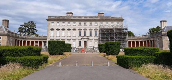
heritage
A Palladian house in Celbridge with decorative interiors, a surviving print room and parkland beside the Liffey.
Open place page →Location & access
This guide covers public forest paths and exterior heritage features, not entry to the ruined castle or church. Follow signs and barriers around old structures. Trails can be wet, and daylight rather than the car-park closing hour should shape a comfortable winter walk.
53.34671, -6.74190 · Reference point; confirm the correct entrance and access. Map © OpenStreetMap contributors.
Orientation only: a verified public entrance is not established by this pin. Use the operator arrival information before travel.