Skip to content
TheLazyNick

heritage · Down

Goward Dolmen

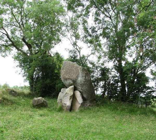
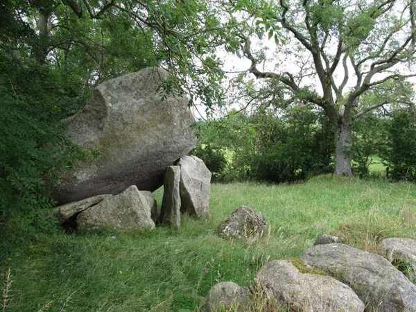
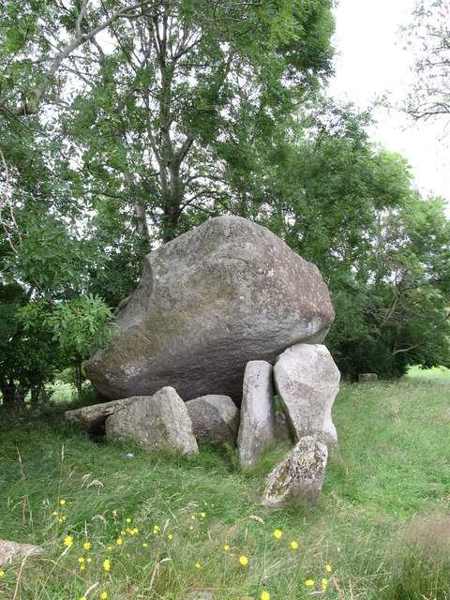
Goward Dolmen is a portal tomb near Castlewellan, known locally as Pat Kearney’s Big Stone. Its enormous granite capstone has slipped from its earlier position over a rectangular chamber. Trees surround the monument, making the close view of stone and chamber the focus of a short visit rather than a broad panorama.

Add to planSaved trips & places

Saved on this browser. No account needed.

Capstone and chamber stones at Goward Dolmen
Capstone and chamber stones at Goward Dolmen. Resized for display. Photo: Eric Jones ↗ · CC BY-SA 2.0

From research

Is this worth your time?

Choose Goward for a compact archaeological stop if you enjoy looking closely at how a prehistoric structure survives in altered form. The slipped capstone is part of what you see today, not an invitation to restore its original shape in a photograph. Observe from safe ground, avoid climbing and use only the recognised public approach.

Know before you book: A fragile monument with a displaced capstone; do not climb or enter confined spaces.

Place highlights

What you will actually see

01

Granite capstone

The massive capstone dominates the site, but its position has changed. Look at its relationship with the chamber supports without leaning, climbing or standing beneath an overhang. A view from a little distance helps show both the stone’s scale and the altered structure.

02

Chamber and entrance

The rectangular chamber faces north-east. Other stones beyond the entrance suggest a curving façade, which the official account compares with the court-tomb tradition. Notice the arrangement while remembering that missing and moved stones limit how completely the original monument can be reconstructed.

03

Wooded setting

Trees enclose the tomb and give it a different atmosphere from more open hilltop monuments. Take a small circuit only where access allows, with care around roots and uneven ground. The surrounding land is not an unrestricted extension of the archaeological site.

The story behind the visit

The story behind the place

The local name recalls Pat Kearney, a former owner whose house left traces nearby. That later association sits beside a much older burial monument, reminding visitors that prehistoric sites continued to exist within lived-in rural landscapes. The official description does not report an archaeological excavation, so it is important to avoid turning speculation about the chamber or its contents into a confident story of discovery. Source ↗

An early account records an urn and flint arrowhead, but the visible monument remains the main evidence for an ordinary visit. The slipped capstone and possible façade show why archaeological reading requires caution: the structure is impressive without being complete or unchanged. Compare the chamber, entrance and surrounding stones slowly, and let uncertainty remain where the evidence does not settle a detail. A short stop can still be rewarding when the aim is to understand what survives, rather than to invent a precise ceremony or reconstruct the lives of individuals whose names are lost. Source ↗

Visitor information

Tickets, timing and access

Opening
DfC lists public entry, with occasional restrictions for works.Confirm with the operator ↗
Admission
Entry is free.Confirm with the operator ↗
Booking
No routine timed ticket is listed.Confirm with the operator ↗
Access
Use the recognised approach; do not climb or move stones.Confirm with the operator ↗
Duration
Allow about 30 minutes for the monument.Confirm with the operator ↗
Seasonal
Tree roots and rural ground may be slippery after rain.Confirm with the operator ↗

Getting to the entrance

The official address is Goward Road, Castlewellan; use the designated approach and keep local access clear. Official visitor information ↗

Your questions, answered

Confirm current access and visitor arrangements with the operator.

Why is it called Pat Kearney’s Big Stone?

The name recalls a former owner associated with the site. Source ↗

Has the tomb been excavated?

The official account says there has been no archaeological excavation. Source ↗

Nearby options

Nearby places to explore

Explore other places in the area, then use live directions to plan your journey.

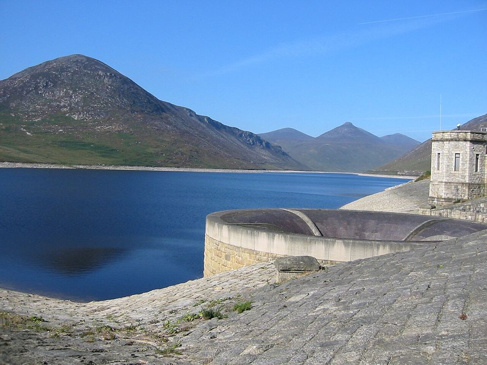
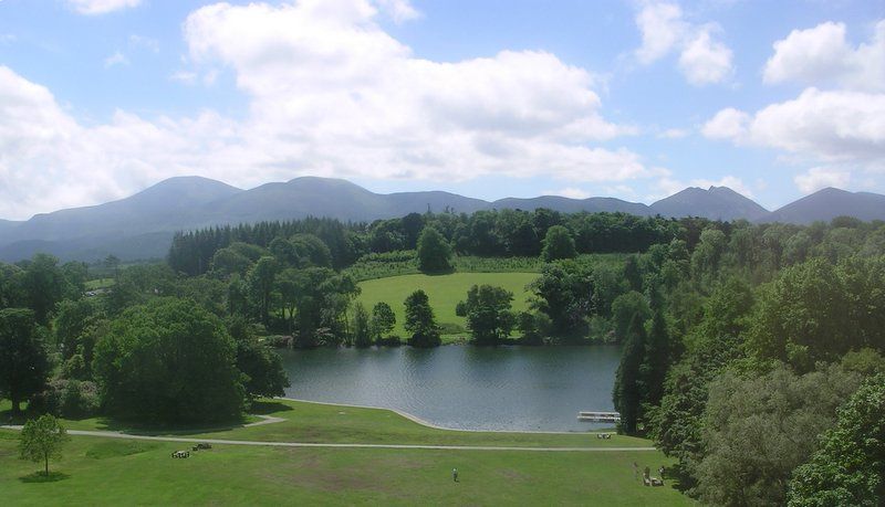
The Silent Valley reservoir in the Mournes
The Silent Valley reservoir in the Mournes. Source photograph dated 2002. Credited source photograph; appearance and access may have changed. Resized from the original. Photo: Peter Williamson (user Wpeterwilliamson) ↗ · Public domain

nature

Silent Valley

Silent Valley combines a mountain setting with an unmistakably engineered landscape. The reservoir’s straight edges and dam walls sit against the Mournes, making the water-supply story visible without needing…

Open place page →
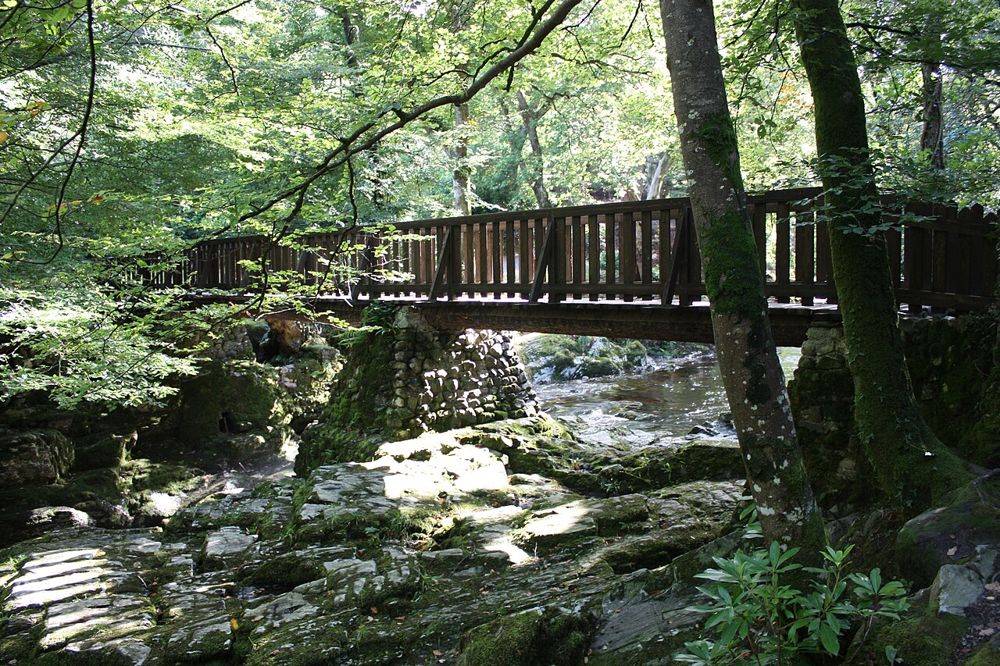
Woodland in Tollymore Forest Park
Woodland in Tollymore Forest Park. Credited source photograph; appearance and access may have changed. Resized from the original. Photo: Ardfern ↗ · CC BY-SA 3.0

nature

Tollymore Forest Park

Tollymore is a forest with deliberate flourishes: stone bridges, unusual buildings and riverside paths sit beneath the trees. Those small built details make it more than a backdrop for a woodland photograph.

Open place page →
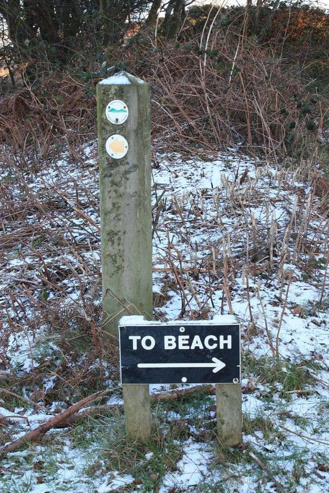
A beach direction sign among the trees at Murlough Nature Reserve
A beach direction sign among the trees at Murlough Nature Reserve. This setting photograph does not establish current routes or access arrangements. Resized from the credited source; appearance and access may have changed. Photo: Ardfern ↗ · CC BY-SA 3.0

coast

Murlough National Nature Reserve

Murlough’s interest begins before the beach. Paths cross a dune landscape with changing vegetation, glimpses of open sand and the Mournes behind. Slowing down here reveals more than walking directly to the…

Open place page →
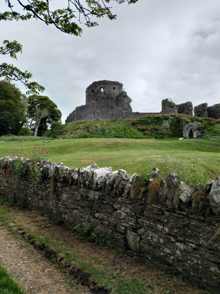
Dundrum Castle viewed from outside
Dundrum Castle viewed from outside. Credited source photograph; appearance and access may have changed. Resized from the original. Photo: Eschadew ↗ · CC BY-SA 4.0

heritage

Dundrum Castle

Dundrum Castle’s hilltop position is its best introduction. The climb above the village opens a view across the bay, while the circular keep and broken enclosures make the defensive layout easy to read.

Open place page →

External visitor reviews

Find the matching listing and reviews on Google Maps ↗

Part of a bigger journey

Location & access

Getting your bearings

A fragile monument with a displaced capstone; do not climb or enter confined spaces.

54.21307, -6.09441 · Reference point; confirm the correct entrance and access. Map © OpenStreetMap contributors.

Orientation only: a verified public entrance is not established by this pin. Use the operator arrival information before travel.

Sources & place context

Browse more Ireland places →