Skip to content
TheLazyNick

nature · Donegal

Errigal

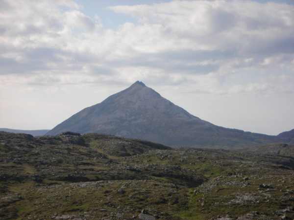
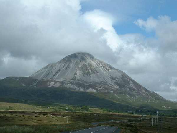
Errigal’s pale, steep-sided cone rises above the Dunlewy landscape in western Donegal. Donegal’s highest mountain rises to 751 metres, from boggy lower ground to exposed rock. Treat a summit outing as a mountain walk requiring preparation, not as a short scenic stroll justified by its popularity.

Add to planSaved trips & places

Saved on this browser. No account needed.

Errigal’s pale quartzite cone above the Dunlewy landscape.
Errigal’s pale quartzite cone above the Dunlewy landscape. Photo: Oliver Dixon ↗ · CC BY-SA 2.0

From research

Is this worth your time?

Choose Errigal if your experience, equipment and the day’s conditions suit a steep exposed climb. The mountain can also be appreciated from established lower viewpoints without reaching the summit. Do not add the narrow ridge to another peak simply because it appears in general visitor descriptions; turning back before the top is valid.

Know before you book: Steep exposed mountain terrain requires appropriate experience, equipment and weather. This guide does not recommend the narrow summit ridge or provide navigation.

Place highlights

What you will actually see

01

The mountain form

Look at Errigal’s distinctive quartzite cone from a secure permitted approach before deciding on an ascent. Pause on the established public route and look carefully. Watch your footing as well as the view; keep well away from exposed edges for photographs.

02

The changing ground

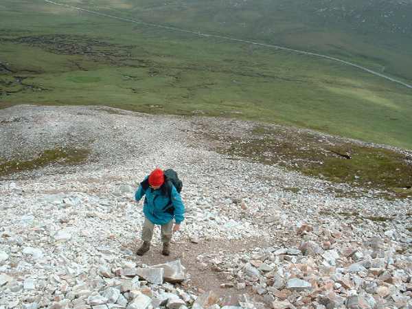
Follow the current constructed route and notice the transition from lower wet ground to rockier slopes. Compare this feature with the wider surroundings. Use permitted approaches, leave plants and wildlife undisturbed and avoid shortcuts across adjoining land or fragile vegetation.

03

The summit outlook

Only continue as far as conditions and your ability allow; a clear summit view is never guaranteed. Choose a comfortable turning point before conditions limit the return. A shorter visit still reveals the place’s character; you need not reach every visible landmark.

The story behind the visit

The story behind the place

Errigal is part of the Seven Sisters group and stands above the Dunlewy lakes and surrounding mountain landscape. Its grey-streaked quartzite gives the cone a distinctive appearance, especially when light separates it from the darker ground below. The height and outline explain its prominence from a distance. Seeing the mountain clearly from lower ground can be a complete experience in itself, without making the summit a compulsory endpoint for every visitor. Source ↗

Donegal County Council has undertaken path and habitat-restoration work to concentrate access and reduce damage from multiple eroded lines. That history is important on the ground: use the current route rather than creating shortcuts beside it. Improved paths do not remove mountain exposure, loose surfaces or the need for judgement. Official visitor information describes a steep climb with open rocky sections, so allow a generous margin for descent and changing weather instead of relying on a brisk published walking time. Source ↗

Visitor information

Tickets, timing and access

Opening
Start only with enough daylight for a safe descent and suitable mountain weather.Confirm with the operator ↗
Admission
Check current local access and parking arrangements; no summit attraction ticket is advertised.Confirm with the operator ↗
Booking
Arrange qualified guiding separately if mountain skills or confidence are insufficient.Confirm with the operator ↗
Access
Use the current established path; steep rocky ground and exposure remain despite improvements.Confirm with the operator ↗
Duration
Allow at least 3 hours for an ascent and descent, longer for pauses or conditions.Confirm with the operator ↗
Seasonal
Avoid high wind, poor visibility or severe weather. Choose lower viewpoints instead.Confirm with the operator ↗

Getting to the entrance

Use the established Errigal mountain approach near Dunlewy on the R251. This mapped reference identifies the mountain setting, not a route to follow across its slopes. Official visitor information ↗

Your questions, answered

Confirm current access and visitor arrangements with the operator.

Must I complete a long walk?

No. Choose a shorter permitted outing that fits conditions and leaves a straightforward return. Source ↗

Do I need mountain-walking experience?

Errigal is an exposed mountain outing. Match the route, equipment and conditions to your experience. Source ↗

Nearby options

Nearby places to explore

Explore other places in the area, then use live directions to plan your journey.

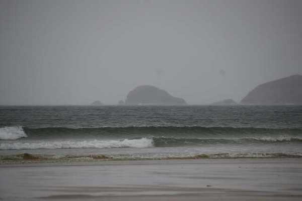
Sea and distant headlands from Carrickfinn Beach
Sea and distant headlands from Carrickfinn Beach. Resized for display. Photo: N Chadwick ↗ · CC BY-SA 2.0

coast

Carrickfinn Beach

Carrickfinn combines a broad sandy shore with a substantial dune system beside Gweedore Bay. The attraction is the meeting of open sand, sheltered landward habitats and the changing Atlantic edge. Make the…

Open place page →
Woodland and shore at Ards Forest Park
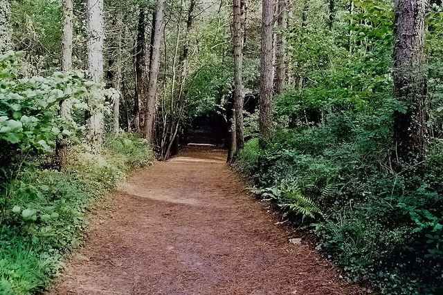
Woodland and shore at Ards Forest Park. Source photograph dated 2004. Source photograph; conditions and access may have changed. Photo: Joseph Mischyshyn ↗ · CC BY-SA 2.0

nature

Ards Forest Park

Ards changes the texture of a Donegal coast day. Woodland paths lead towards salt marsh, dunes and small beaches, so you can move between trees and water without making every stop an exposed headland. The best…

Open place page →
Doe Castle beside Sheephaven Bay
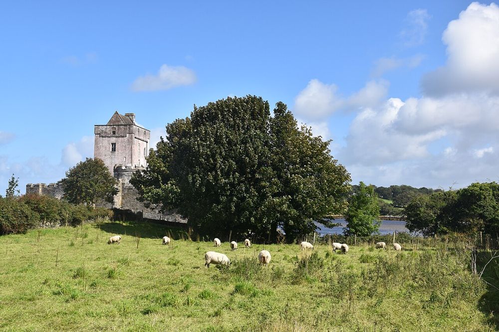
Doe Castle beside Sheephaven Bay. Source photograph; conditions and access may have changed. Photo: Kognos ↗ · CC BY 4.0

heritage

Doe Castle

Doe Castle’s position on Sheephaven Bay explains its purpose almost at a glance. Water protects much of the site while a tower and enclosed bawn control the landward approach. It is a compact stop, but a…

Open place page →
Cliffs at Horn Head
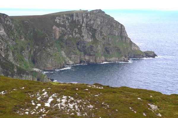
Cliffs at Horn Head. Resized for display. Photo: Joseph Mischyshyn ↗ · CC BY-SA 2.0

coast

Horn Head

Horn Head projects into the Atlantic north of Dunfanaghy, with a winding road opening views of Sheephaven Bay and exposed cliffs. This guide is a scenic headland visit from the established public approach,…

Open place page →
Donegal County Museum building in Letterkenny
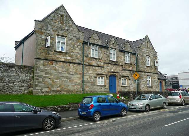
Donegal County Museum building in Letterkenny. Source photograph: 2018-05-04. Appearance, displays and access may have changed. Photo: Humphrey Bolton ↗ · CC BY-SA 2.0

heritage

Donegal County Museum

Donegal County Museum in Letterkenny offers a county-wide historical overview in a building once associated with the town’s workhouse. Permanent interpretation and temporary exhibitions make it a useful…

Open place page →

External visitor reviews

Find the matching listing and reviews on Google Maps ↗

Part of a bigger journey

Location & access

Getting your bearings

Steep exposed mountain terrain requires appropriate experience, equipment and weather. This guide does not recommend the narrow summit ridge or provide navigation.

55.03430, -8.11301 · Reference point; confirm the correct entrance and access. Map © OpenStreetMap contributors.

Orientation only: a verified public entrance is not established by this pin. Use the operator arrival information before travel.

Sources & place context

Browse more Ireland places →