Sheephaven Bay
Look towards the bay from a secure established stopping place. The relationship between the sheltered water and the outer Atlantic gives the headland its visual interest. Keep attention on traffic and footing as well as the view.

coast · Donegal
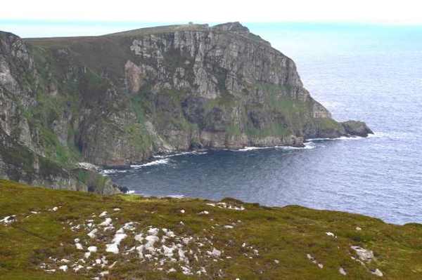
Horn Head projects into the Atlantic north of Dunfanaghy, with a winding road opening views of Sheephaven Bay and exposed cliffs. This guide is a scenic headland visit from the established public approach, rather than a promised cliff-edge walking circuit. Choose a clear, calm spell and give the landscape time to reveal its scale.
From research
Choose Horn Head for a dramatic coastal viewpoint that can fit within a flexible Donegal drive. You do not need to approach the cliff edge to appreciate the headland. If wind, rain or visibility makes stopping uncomfortable, shorten the outing or return another day rather than pressing on for a photograph.
Know before you book: The cliffside is open and unprotected. Keep well back from edges, especially in gusts, and do not infer a public footpath across adjoining land.
Place highlights
Look towards the bay from a secure established stopping place. The relationship between the sheltered water and the outer Atlantic gives the headland its visual interest. Keep attention on traffic and footing as well as the view.
Study the projecting landforms from a safe distance. The cliffs are the subject of the view, not a route to follow along their brink. A more distant perspective often makes their scale easier to understand.
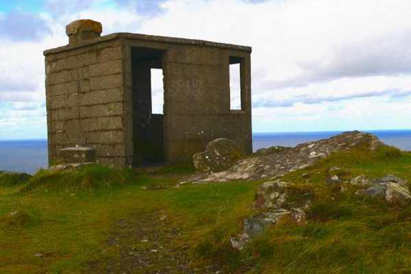
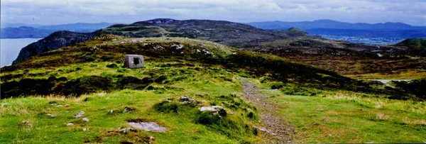
Notice how the exposed northern headland contrasts with lower coastal ground around Dunfanaghy. The landscape belongs to a wider protected area with several habitats; a viewpoint visit does not grant access through all of them.
The story behind the visit
The Horn Head and Rinclevan Special Area of Conservation includes a varied coastal landscape rather than a single scenic feature. NPWS records dune habitats, machair, freshwater habitat and species of conservation importance within its boundaries. This helps explain why apparently empty ground deserves care. The view is part of a living system, and preserving vegetation and giving wildlife space are more useful responses than trying to reach every visible corner of the headland. Source ↗
The protected area extends beyond the high cliffs into very different lower coastal environments. Its official synopsis describes quartzite cliffs in the north and sand flats, dunes and a brackish lake farther south. These contrasting forms give the Dunfanaghy coast much of its character. Treat the scenic road as an opportunity to look across that variety, while respecting the distinction between a designated landscape and a fully open walking area. Conservation status does not itself establish public access rights. Source ↗
Visitor information
Approach from Dunfanaghy on the winding road around Horn Head. Do not stop where the road or sightlines make it unsafe. Official visitor information ↗
Confirm current access and visitor arrangements with the operator.
This guide covers a viewpoint outing. It does not establish permission for a cliff-edge circuit. Source ↗
Only with close supervision and a route that keeps well away from unprotected edges. Source ↗
Nearby options
Explore other places in the area, then use live directions to plan your journey.
nature
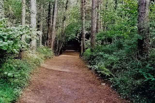
Ards changes the texture of a Donegal coast day. Woodland paths lead towards salt marsh, dunes and small beaches, so you can move between trees and water without making every stop an exposed headland. The best…
Open place page →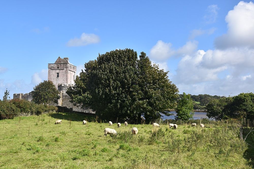
heritage
Doe Castle’s position on Sheephaven Bay explains its purpose almost at a glance. Water protects much of the site while a tower and enclosed bawn control the landward approach. It is a compact stop, but a…
Open place page →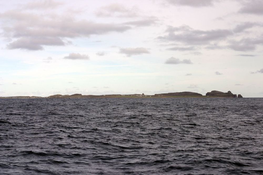
coast
Tory deserves a day chosen for the island itself. The crossing, harbour settlement and open Atlantic setting offer a different rhythm from moving between mainland viewpoints. It is an Irish-speaking community…
Open place page →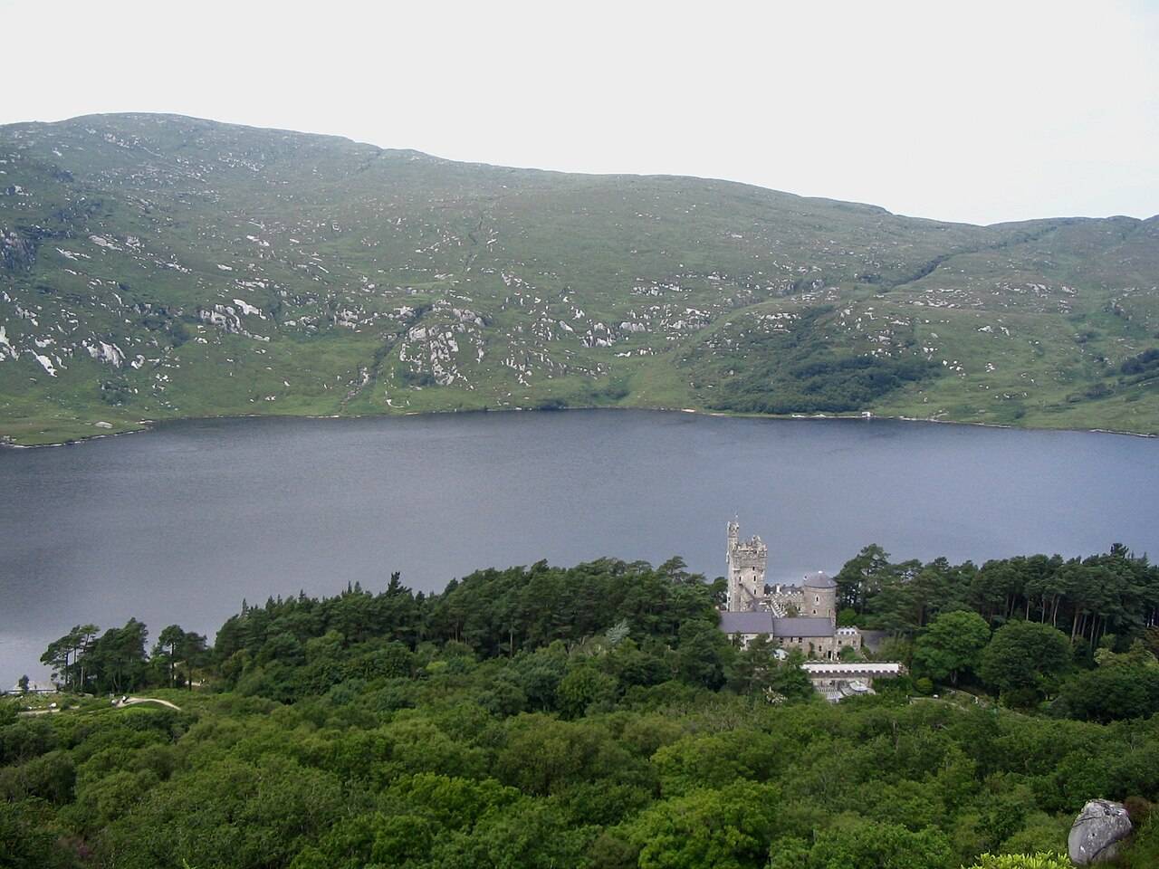
nature
Glenveagh combines a lakeside national park setting with gardens and a castle visit. These elements have different access and opening arrangements.
Open place page →
heritage
Fanad is immediately recognisable from its white lighthouse above dark rock and open water. A tour adds a reason to look beyond the façade: the purpose of the light, the keepers’ work and the coast’s maritime…
Open place page →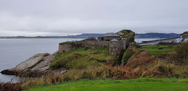
heritage
Fort Dunree places military history in a dramatic Inishowen coastal setting. Choose how much time belongs inside the museum and how much to the surrounding paths; an exposed outdoor extension asks for…
Open place page →Location & access
The cliffside is open and unprotected. Keep well back from edges, especially in gusts, and do not infer a public footpath across adjoining land.
55.21218, -7.95872 · Reference point; confirm the correct entrance and access. Map © OpenStreetMap contributors.
Orientation only: a verified public entrance is not established by this pin. Use the operator arrival information before travel.