North Harbour
Begin around the arrival harbour to understand the island’s connection with the sea and ferry. Leave a clear margin for returning to the correct pier rather than judging the day only by walking distance.

nature · Cork
Cape Clear, Oileán Chléire, is an inhabited island off West Cork reached by passenger ferry. Its harbours, paths and coastal views provide a distinct island visit rather than a mainland viewpoint. The day depends on the ferry, weather and return plan, with seasonal facilities checked separately from the year-round Baltimore service.
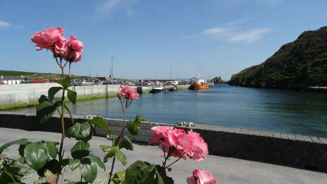
From research
Choose Cape Clear if you want to spend several hours exploring on foot and are comfortable organising around a boat crossing. Pick a realistic route and protect the return connection. A Fastnet sightseeing cruise is a different product; an island ticket should not imply a lighthouse tour or landing.
Know before you book: Baltimore passenger service operates year-round, subject to weather and timetable. Schull service and many island facilities are seasonal.
Place highlights
Begin around the arrival harbour to understand the island’s connection with the sea and ferry. Leave a clear margin for returning to the correct pier rather than judging the day only by walking distance.
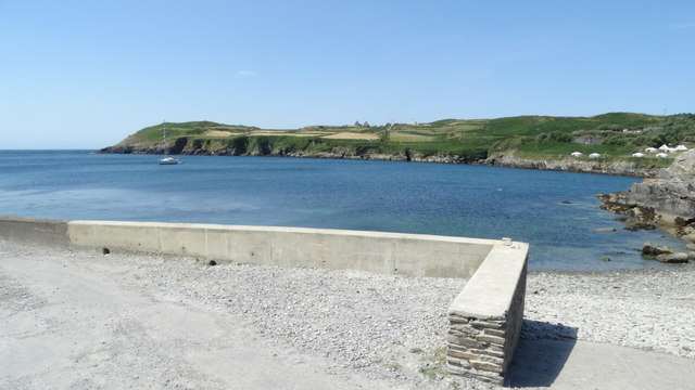
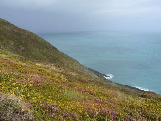
Choose a current waymarked route that matches your fitness, daylight and conditions. Coastal paths can involve gradients and exposed ground; a published loop is not a promise of a uniformly easy surface.
The island’s place names, community and maritime history are part of the experience. Respect homes, working land and private property while following the public visitor routes. Keep the harbour return margin visible in your plan before following a path farther into the island.
The story behind the visit
Cape Clear’s island identity is rooted in a continuing community and a long seafaring tradition. Coastal history is visible in the harbours and the relationship between the island and surrounding waters. Treat it as an inhabited place, with practical services and private homes, rather than a self-contained visitor park where every building is part of an admission. Source ↗
The practical distinction between island access and seasonal attractions is essential. The ferry operator confirms a year-round Baltimore route, while the Schull route is seasonal. The heritage centre normally opens June–September, with other times by appointment. Fastnet cruises also have their own season and weather decisions. A worthwhile winter visit can focus on permitted island walking and harbour scenery without promising indoor displays, shops or a separate offshore cruise. The ferry connects visitors with a living island community; protecting the return plan and respecting local boundaries makes the day more considerate as well as easier to manage. Source ↗
Visitor information
Use Baltimore’s confirmed passenger sailing and arrive early enough to park away from the pier. Check the day’s return before choosing an island walking route; do not substitute a summer Schull schedule. Official visitor information ↗
Confirm current access and visitor arrangements with the operator.
No. The operator’s visitor service is passenger-only; visitor cars are not permitted. Source ↗
No. Fastnet sightseeing is a separate cruise with its own dates, price and weather confirmation. Source ↗
Nearby options
Explore other places in the area, then use live directions to plan your journey.
attraction
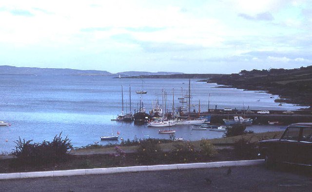
Use Schull as a deliberate first part of a peninsula day: a harbour look, a short town browse and a chance to organise the onward journey. It gives the outing a gentler beginning before more exposed coastal…
Open place page →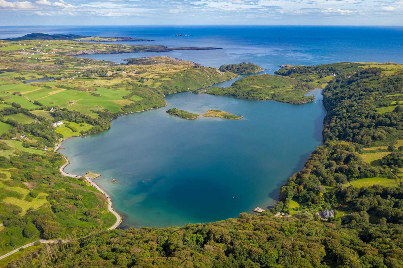
nature
Lough Hyne’s enclosed-looking water can make the visit feel like a simple lake stop, but this is a protected sea lough with an unusually varied marine environment. Start with the shore setting and its…
Open place page →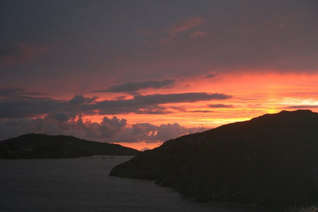
attraction
Choose Crookhaven for a harbour pause after the exposed parts of the peninsula. Give yourself time to look at boats and the relationship between the water and the village, rather than making it only a place to…
Open place page →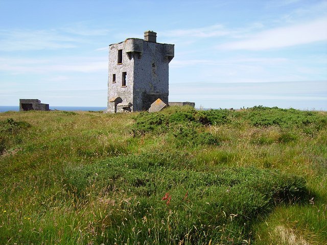
attraction
Choose Brow Head for a more exposed landscape visit, with the former signalling structures providing context. Make the approach and visibility part of the decision; this is not simply another managed viewpoint…
Open place page →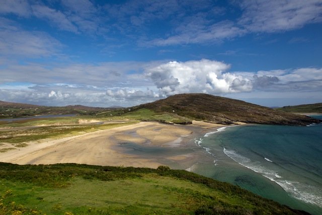
attraction
Choose Barleycove for an open beach visit after a more structured stop. A walk, a pause on the sand and time looking back at the dunes can give the day a different rhythm without requiring another ticket.
Open place page →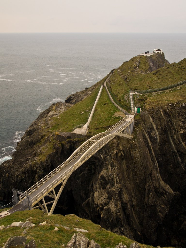
attraction
Give Mizen Head time for both the approach across the bridge and the signal-station story. The sea is the setting, but the effort to warn shipping and the people who worked here give the visit its purpose.
Open place page →Location & access
Baltimore passenger service operates year-round, subject to weather and timetable. Schull service and many island facilities are seasonal.
51.43880, -9.49226 · Reference point; confirm the correct entrance and access. Map © OpenStreetMap contributors.
Orientation only: a verified public entrance is not established by this pin. Use the operator arrival information before travel.