The valley view
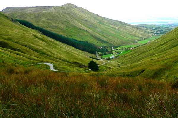
Look down the valley towards Loughros Beg Bay, framed by the surrounding slopes. Pause on the established public route and look carefully. Watch your footing as well as the view; keep well away from exposed edges for photographs.

nature · Donegal
Glengesh Pass carries a winding road through steep-sided mountains near Ardara, opening a view down the valley towards Loughros Beg Bay. It is best understood as a scenic road-and-viewpoint outing rather than a mountain trail. Give the drive your full attention, then stop only where the established public approach allows it.
From research
Choose Glengesh when you want a short landscape stop within a wider Donegal journey. The contrast between the enclosing slopes and the distant bay is the main reward. A clear view is weather-dependent, and a dramatic bend is not a reason to stop on the carriageway or walk into traffic.
Know before you book: Wind, rain and poor visibility can change the drive. Use established stopping places and avoid blocking the narrow road.
Place highlights
Look down the valley towards Loughros Beg Bay, framed by the surrounding slopes. Pause on the established public route and look carefully. Watch your footing as well as the view; keep well away from exposed edges for photographs.
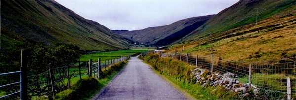
Notice how the steep ground encloses the road before the landscape opens out. Compare this feature with the wider surroundings. Use permitted approaches, leave plants and wildlife undisturbed and avoid shortcuts across adjoining land or fragile vegetation.
Appreciate the route from an established stopping place, keeping passing traffic clear. Choose a comfortable turning point before conditions limit the return. A shorter visit still reveals the place’s character; you need not reach every visible landmark.
The story behind the visit
Fáilte Ireland places the pass between the Ghleann Gheis and Mulmosog mountains, with a view towards Loughros Beg Bay. That combination of enclosed valley and distant coast gives the scene its character. It is worth taking a moment to identify the layers of the view rather than immediately photographing the road. The mountain slopes dominate close at hand, while the bay provides scale and a sense of the valley continuing beyond the immediate viewpoint. Source ↗
The road is part of the experience, not an incidental connection between sights. Its bends respond to the shape of the land and make the pass memorable from a vehicle or bicycle, but they also demand concentration. Keep observation and movement separate: use the recognised public stopping area, avoid standing on bends and do not assume surrounding slopes are an open walking route. A modest stop can explain the landscape clearly without turning into an improvised mountain excursion. Source ↗
Visitor information
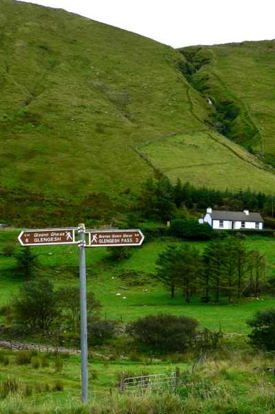
Approach Glengesh on the signed route near Ardara. Use established stopping places and keep narrow bends clear. Official visitor information ↗
Confirm current access and visitor arrangements with the operator.
This guide covers road viewpoints. Plan mountain walks separately with suitable route information, equipment and conditions. Source ↗
No. Use established public viewpoints and respect private boundaries and current local signs. Source ↗
Nearby options
Explore other places in the area, then use live directions to plan your journey.
heritage
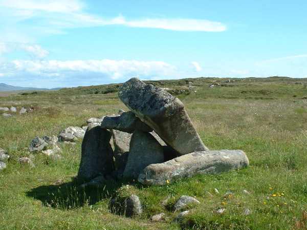
Kilclooney Dolmen is a Neolithic portal tomb near Ardara, with a large tilted capstone and a much smaller neighbouring tomb. Its strong outline makes the construction easy to appreciate from ground level. The…
Open place page →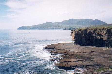
coast
Muckros Head is a rugged Donegal peninsula near Kilcar, where the Atlantic, low beaches and exposed coastal ground create a varied short outing. Views across Donegal Bay are the main attraction for a simple…
Open place page →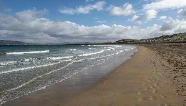
coast
Narin Beach, also recorded as Naran, is an extensive sandy shore beside Portnoo on Donegal’s Atlantic coast. A substantial dune system and a wide coastal setting give it more interest than a simple waterside…
Open place page →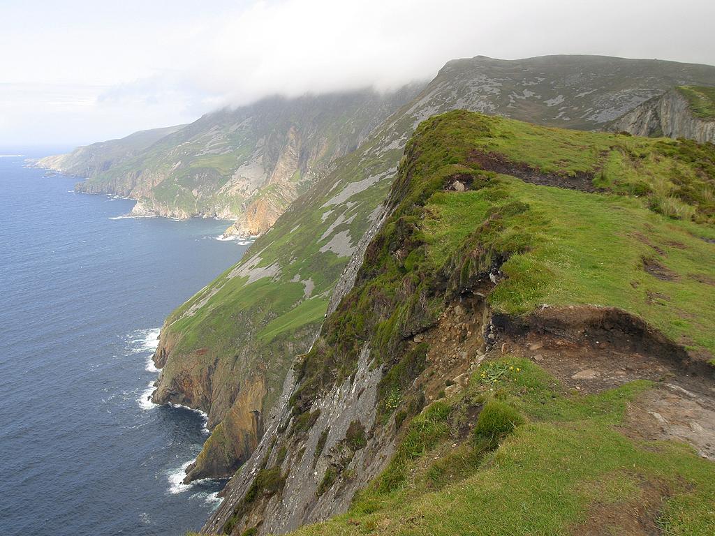
coast
Slieve League is a major cliff landscape where the viewing-area visit and a demanding mountain walk should be treated as different plans.
Open place page →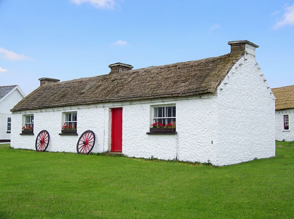
heritage
Glencolmcille Folk Village brings the scale of everyday living back into a Donegal trip. The thatched cottages are small, and that is the point: rooms, utensils and working spaces show how much of life fitted…
Open place page →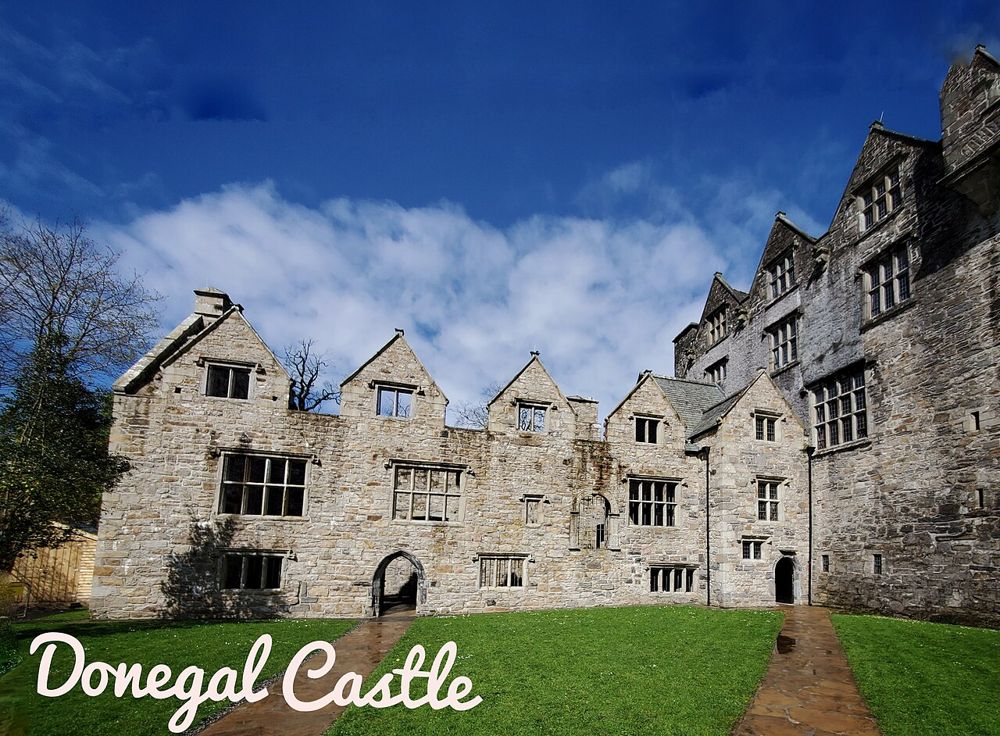
heritage
Donegal Castle is useful precisely because two different kinds of building stand together. A Gaelic tower house and a later manor wing make changes of power and domestic ambition visible within one compact…
Open place page →Location & access
Wind, rain and poor visibility can change the drive. Use established stopping places and avoid blocking the narrow road.
54.72063, -8.48459 · Reference point; confirm the correct entrance and access. Map © OpenStreetMap contributors.
Orientation only: a verified public entrance is not established by this pin. Use the operator arrival information before travel.