Skip to content
TheLazyNick

nature · Tyrone

Lough Fea

Lough Fea is a lake in the Sperrins landscape north of Cookstown, with a circular walking route close to the shore. The official tourism information describes an approximately 4.15-kilometre circuit, with open water and surrounding hills giving the walk its character. This is an outdoor lakeside outing rather than an organised watersports or swimming offer.

Add to planSaved trips & places

Saved on this browser. No account needed.

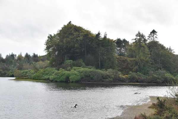
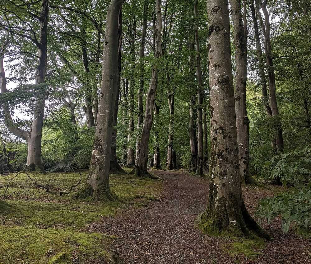
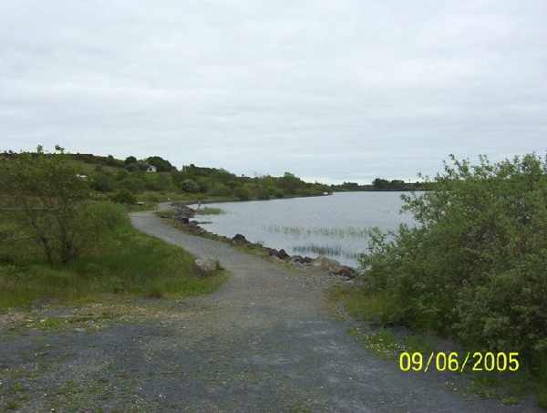
The established lakeside approach at Lough Fea.
The established lakeside approach at Lough Fea. Photo: Mervyn Greer ↗ · CC BY-SA 2.0

From research

Is this worth your time?

Choose Lough Fea for a straightforward walking plan with room to pause over the view. The full circuit is manageable for many walkers but still needs appropriate footwear, daylight and a realistic pace. A lakeside path does not establish safe water access, so keep the visit focused on the signed walking route unless separately authorised for another activity.

Know before you book: A lakeside walking circuit; do not infer swimming or angling permission from public path access.

Place highlights

What you will actually see

01

Circular shore route

The path gives a clear route around the lake, with changing views as the shoreline turns. Start with the full distance in mind rather than assuming every short-looking section is a complete loop. If time is limited, a shorter out-and-back walk can be a sensible choice.

02

Water and hills

The open lake and Sperrins setting provide the main landscape interest. Pause where the route allows, keeping away from unstable banks and giving other walkers room. Visibility and light can change the experience without changing the path itself.

03

A flexible outdoor stop

Seating and the visitor facilities listed by the tourism service make a break possible, but the walk need not depend on every facility being open. Bring what the group needs and choose a manageable plan, especially outside the longer daylight of summer.

The story behind the visit

The story behind the place

Lough Fea sits among the many lakes of the Sperrins region and also supplies water to the surrounding area. That practical role belongs alongside its appeal as scenery. A walk around the shore is a way to understand the lake’s outline and its relationship with the hills, rather than simply using the water as a background for one photograph. Source ↗

The circular path makes planning relatively clear, but distance and conditions still matter. The published allowance is about an hour for the 4.15-kilometre route, before adding long stops or a slower group pace. Use it as guidance rather than a deadline. A quieter visit can focus on water, weather and changing views along a short section. Keep dogs controlled, leave the shore clean and follow current notices around any restricted area. Public access to a walking route is a specific offer; it should not be expanded into assumptions about fishing, boating or entering the water. Source ↗

Visitor information

Tickets, timing and access

Opening
Official tourism information lists free access at all times.Confirm with the operator ↗
Admission
Admission is free.Confirm with the operator ↗
Booking
No ordinary walking booking is listed.Confirm with the operator ↗
Access
Use the established lakeside route and follow local notices.Confirm with the operator ↗
Duration
About an hour for the 4.15-kilometre circuit, plus stops.Confirm with the operator ↗
Seasonal
Wind, wet surfaces and short daylight can affect a visit.Confirm with the operator ↗

Getting to the entrance

The main car park is on the B162 Draperstown Road, north of Cookstown; begin from the signed walking access. Official visitor information ↗

Your questions, answered

Confirm current access and visitor arrangements with the operator.

How long is the full walk?

The official route is approximately 4.15 kilometres. Source ↗

Does public walking access include watersports?

No. Check separate rules for any activity beyond walking. Source ↗

Nearby options

Nearby places to explore

Explore other places in the area, then use live directions to plan your journey.

Woodland in Davagh Forest; landscape context for OM Dark Sky Park
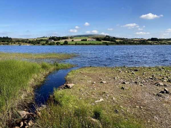
Davagh Forest provides landscape context for OM Dark Sky Park. This is not the observatory building or a photograph of the night sky. Resized from the credited source. Photo: Kenneth Allen ↗ · CC BY-SA 2.0

attraction

OM Dark Sky Park and Observatory

OM turns a forest visit towards the sky. The observatory and exhibition give a structured introduction to astronomy, while Davagh’s darker surroundings explain why this location matters after sunset.

Open place page →
The stone circles and alignments at Beaghmore
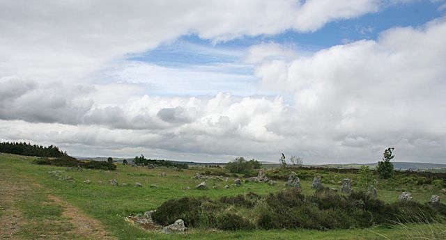
The stone circles and alignments at Beaghmore. Credited source photograph; appearance and access may have changed. Resized from the original. Photo: Anne Burgess ↗ · CC BY-SA 2.0

heritage

Beaghmore Stone Circles

Beaghmore is quiet in scale but rich in detail: small stones, circles, cairns and alignments spread across an open setting. It asks you to look at relationships, not wait for one towering monument.

Open place page →
A woodland trail in Drum Manor Forest Park
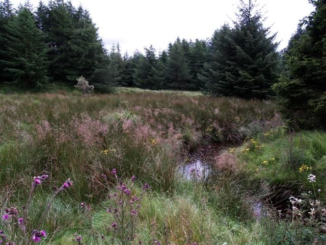
A woodland trail in Drum Manor Forest Park. Credited source photograph; appearance and access may have changed. Resized from the original. Photo: ItsShandog ↗ · CC BY-SA 4.0

nature

Drum Manor Forest Park

Drum Manor is a straightforward woodland choice near Cookstown, with paths and traces of a former estate rather than a single major monument. It suits a quieter walk between more structured heritage visits.

Open place page →
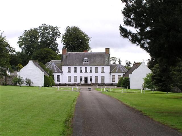
Springhill House in Moneymore, County Londonderry
Springhill House in Moneymore, County Londonderry. Credited source photograph; appearance and access may have changed. Resized from the original. Photo: Kenneth Allen ↗ · CC BY-SA 2.0

heritage

Springhill

Springhill is a more intimate house than a palace-like mansion. Its rooms, family history and gardens suit a visitor interested in how a household changed over generations, rather than an imposing exterior…

Open place page →
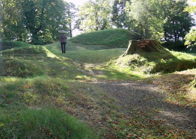
The wooded earthwork at Tullaghoge Fort
The wooded earthwork at Tullaghoge Fort. Resized for display. Photo: Iain Crump ↗ · CC BY-SA 2.0

heritage

Tullaghoge Fort

Tullaghoge Fort is a hilltop earthwork near Cookstown with a strong association with the inauguration of the O’Neills. It rewards visitors who enjoy landscape and political history more than those expecting…

Open place page →
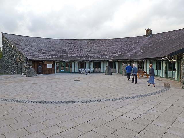
The An Creagán Visitor Centre
The An Creagán Visitor Centre. Credited source photograph; appearance and access may have changed. Resized from the original. Photo: Oliver Dixon ↗ · CC BY-SA 2.0

attraction

An Creagán

An Creagán is useful when you want to connect the Sperrins landscape with local life, rather than only driving past it. The heritage centre and surrounding walks offer a starting point for a smaller, grounded…

Open place page →

External visitor reviews

Find the matching listing and reviews on Google Maps ↗

Part of a bigger journey

Location & access

Getting your bearings

A lakeside walking circuit; do not infer swimming or angling permission from public path access.

54.72306, -6.82551 · Reference point; confirm the correct entrance and access. Map © OpenStreetMap contributors.

Orientation only: a verified public entrance is not established by this pin. Use the operator arrival information before travel.

Sources & place context

Browse more Ireland places →