Hilltop earthwork
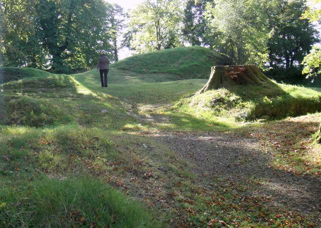
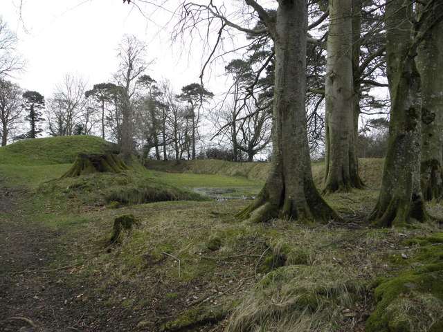
Walk the permitted route and look at the shape of the monument. The surviving ground form is the attraction, so there is no need to search for a ruined keep or an interior entrance.

heritage · Tyrone
Tullaghoge Fort is a hilltop earthwork near Cookstown with a strong association with the inauguration of the O’Neills. It rewards visitors who enjoy landscape and political history more than those expecting towers or furnished rooms. The uphill approach and broad views make the setting an important part of understanding the monument.
From research
Choose it for a short climb to a place of ceremony and dynastic power. Take time to observe the earthwork rather than looking for a standing castle. The return to the roadside entrance needs care, and anyone with limited mobility should check the uphill route before travelling specifically for the summit.
Know before you book: An uphill path leads to the earthwork from a roadside arrival area. The heritage authority warns that the entrance is on a difficult corner.
Place highlights
Walk the permitted route and look at the shape of the monument. The surviving ground form is the attraction, so there is no need to search for a ruined keep or an interior entrance.
Use the interpretation to connect the hill with the O’Neill inauguration tradition. A place of political ceremony can be significant even when little standing masonry survives.
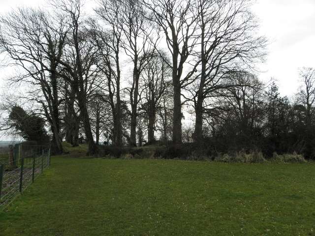
Look out across the surrounding country and consider the visibility of the hill itself. The relationship between a prominent site and its wider territory helps explain why the setting matters.
The story behind the visit
The heritage authority identifies Tullaghoge as a royal power centre that became prominent in the eleventh century as a dynastic centre and inauguration place for Cenél nEógain, later the O’Neills. That history gives the earthwork a ceremonial and political role beyond the general idea of a defensive fort. Source ↗
The site remained in use into the seventeenth century: Robert Lindsey’s widow was recorded living here in 1619, and abandonment followed by 1622. The present visitor experience is primarily the earthwork and its landscape. Read the visible ground carefully and use the interpretation to connect it with the historical account. A hill with few standing structures can carry substantial meaning, provided the visit is approached as a landscape rather than a castle-interior tour. The apparent simplicity of the ground should not obscure the site’s role as a place where political authority was publicly expressed and recognised. Source ↗
Visitor information
The site is on Tullywiggan Road near Tullahogue, south of Cookstown, BT80 8UB. Approach the entrance slowly and avoid obstructing the road or neighbouring access. Official visitor information ↗
Confirm current access and visitor arrangements with the operator.
The principal feature is the hilltop earthwork, not a standing castle with rooms. Source ↗
No. Tullaghoge is a separate inauguration-site visit near Cookstown. Source ↗
Nearby options
Explore other places in the area, then use live directions to plan your journey.
nature
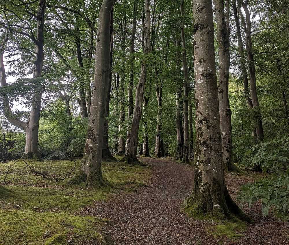
Drum Manor is a straightforward woodland choice near Cookstown, with paths and traces of a former estate rather than a single major monument. It suits a quieter walk between more structured heritage visits.
Open place page →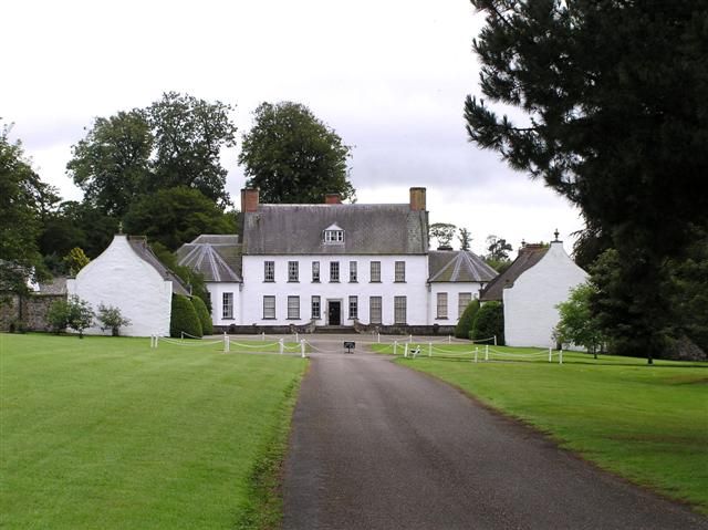
heritage
Springhill is a more intimate house than a palace-like mansion. Its rooms, family history and gardens suit a visitor interested in how a household changed over generations, rather than an imposing exterior…
Open place page →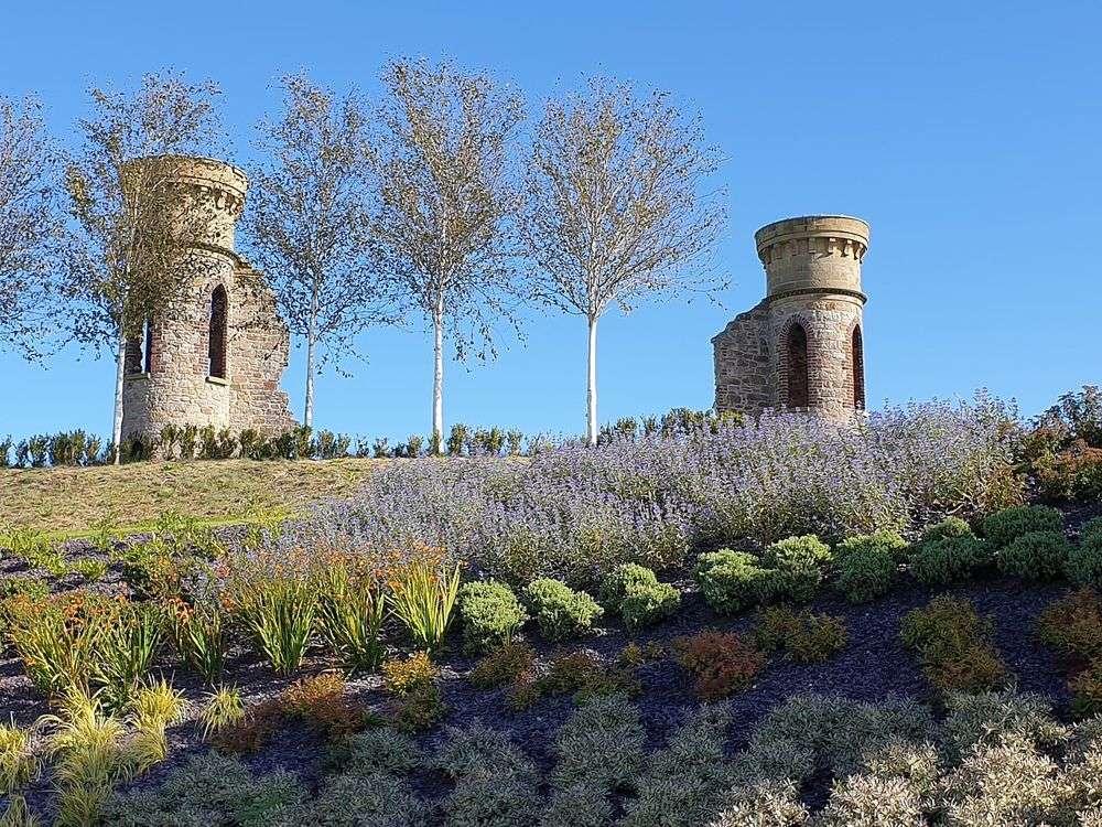
heritage
The Hill of The O’Neill works as both an outlook and a history lesson. Ranfurly House provides the narrative before the hill makes Dungannon’s strategic position visible in the surrounding landscape.
Open place page →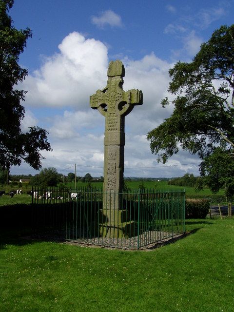
heritage
Ardboe’s cross sits beside a historic burial ground and the vast open surface of Lough Neagh. The carved stone rewards close looking, while the shoreline setting gives a short visit more depth.
Open place page →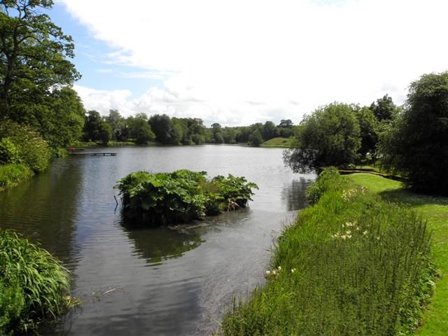
nature
Dungannon Park is useful because it does not demand a grand expedition. Lake-side paths and green space offer a relaxed outdoor counterpoint to the town’s historical attractions, with a route you can shape to…
Open place page →
nature
Peatlands Park makes a worthwhile change from woodland alone. The wetland landscape asks you to notice water, plants and the ground beneath your feet, with different marked routes rather than a single grand…
Open place page →Location & access
An uphill path leads to the earthwork from a roadside arrival area. The heritage authority warns that the entrance is on a difficult corner.
54.61018, -6.72393 · Reference point; confirm the correct entrance and access. Map © OpenStreetMap contributors.
Orientation only: a verified public entrance is not established by this pin. Use the operator arrival information before travel.