Lakeshore path
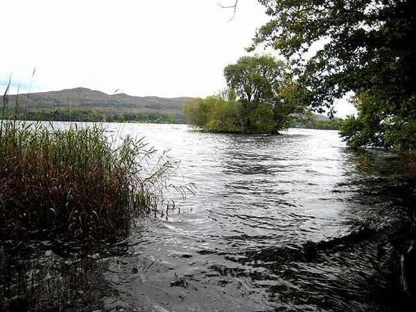
Follow the signed route along the shore and pause where the view opens safely. Water and woodland meet closely here, so watch your footing and avoid leaving the path for a clearer photograph beside an unstable or slippery edge.

nature · Sligo
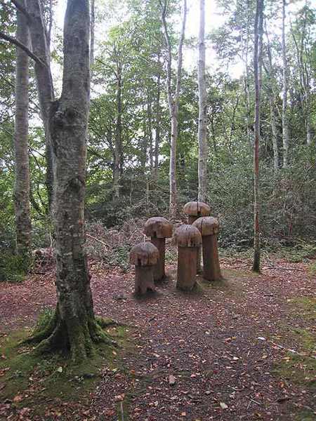
Hazelwood Forest follows the north-western shore of Lough Gill near Sligo, with woodland paths and glimpses of islands across the water. Coillte’s published loop provides a clear starting plan, with shorter alternatives available. Keep the visit within the public forest routes rather than extending it into the neighbouring house or private grounds.
From research
Choose Hazelwood for a woodland walk with regular reasons to pause beside the lake. It offers a different pace from an exposed coastal outing, though wet ground and wind still matter. Take time to notice the trees and shoreline rather than treating the route simply as a distance to complete.
Know before you book: This is an outdoor walking visit. Use the current signed routes, wear suitable shoes and respect temporary closures or works.
Place highlights
Follow the signed route along the shore and pause where the view opens safely. Water and woodland meet closely here, so watch your footing and avoid leaving the path for a clearer photograph beside an unstable or slippery edge.
Coillte identifies Church Island, Goat Island and Cottage Island among the views from the walk. Visibility and vegetation affect what you can distinguish. Use the landscape as a reason to look carefully, without assuming that the walk includes island access.
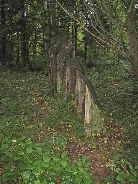
Look for the tree information signs along the nature trail and compare the different woodland areas. The forest contains more than one tree type, and the relationship between damp ground, canopy and lakeshore helps explain its varied appearance.
The story behind the visit
Hazelwood formed part of the Wynne estate, and the neighbouring eighteenth-century house helps explain the woodland’s historical setting. Coillte records the house as a 1724 design by Richard Cassells, but the public attraction covered here is the forest walk. An estate connection is useful context rather than an invitation to enter the building. Enjoy the surviving landscape from the current public routes and keep the distinction between woodland access and private property clear. Source ↗
The wider conservation account describes alluvial woodland near the Garavogue and a mix of broadleaved and coniferous areas farther south. Water therefore shapes more than the view: it influences the habitats within the forest. Coillte’s visitor route follows a roughly three-kilometre loop with shorter choices. Use that flexibility to spend time watching the lakeshore and reading the tree signs, while accepting that wet periods or forestry notices may make a shorter permitted walk the better plan on the day. Source ↗
Visitor information
Follow the signed Hazelwood forest approach near Sligo. Coillte’s mapped point locates the recreation site, not the entrance to Hazelwood House. Official visitor information ↗
Confirm current access and visitor arrangements with the operator.
No. Choose a shorter permitted walk if that better fits your time, fitness or conditions. Source ↗
No. Watch quietly from the path and leave animals space; sightings cannot be promised. Source ↗
Nearby options
Explore other places in the area, then use live directions to plan your journey.
heritage
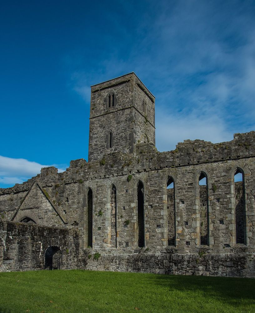
Sligo Abbey is a good place to change the scale of a town visit. Leave the traffic outside and spend time on carved stone, the cloister arcade and the surviving altar. The site is not large, but it offers…
Open place page →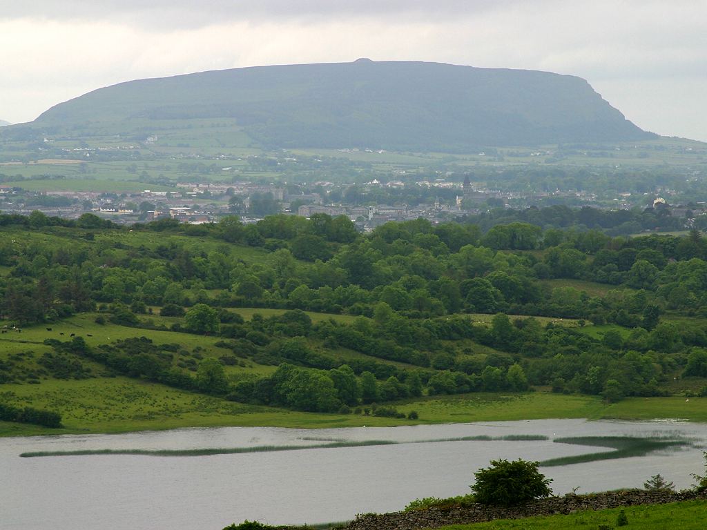
city
Sligo town is a practical urban anchor for the northwest, with a river-centred walk and cultural stops that can be chosen independently of a wider county circuit.
Open place page →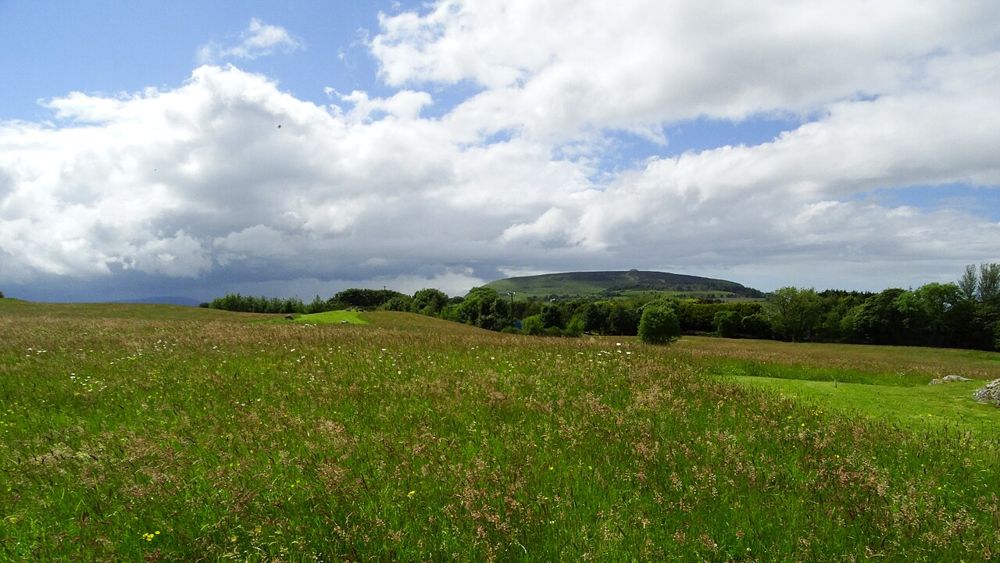
heritage
Carrowmore is a landscape of tombs rather than a single spectacular chamber. Low stone monuments sit within a wider setting framed by Sligo’s hills, and their relationship becomes more interesting as you look…
Open place page →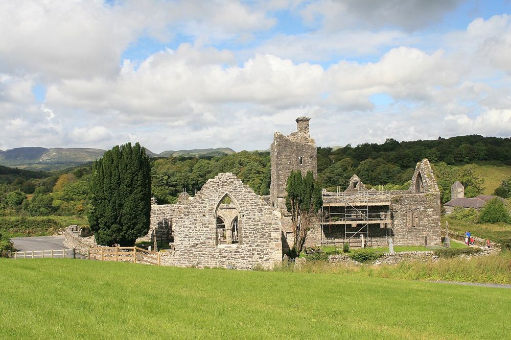
heritage
Creevelea’s roofless walls make a satisfying small heritage stop near Dromahair. The ruined friary has enough surviving structure to follow its spaces, while the River Bonet gives the approach a gentler…
Open place page →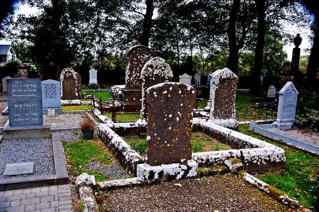
heritage
Drumcliffe combines the grave of W.B. Yeats with a working church and the remains of an earlier monastic site beneath Benbulben. The high cross and surviving round-tower stump make the visit more than a…
Open place page →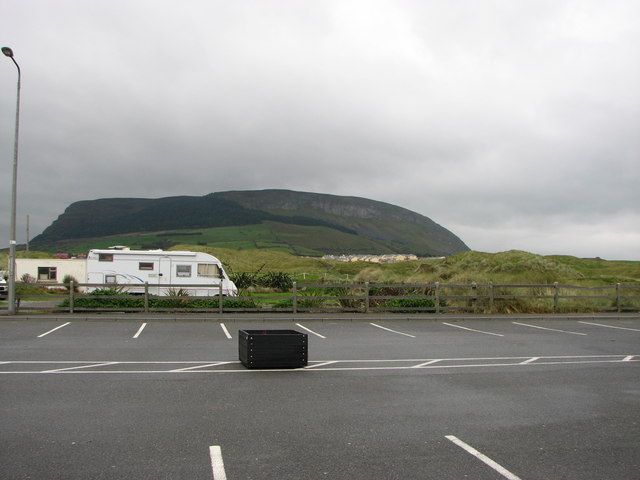
nature
Knocknarea’s summit cairn is visible long before you reach it, making the climb feel like a journey towards a landmark rather than simply uphill exercise. The views over Sligo and the coast are a reward when…
Open place page →Location & access
This is an outdoor walking visit. Use the current signed routes, wear suitable shoes and respect temporary closures or works.
54.25808, -8.42638 · Reference point; confirm the correct entrance and access. Map © OpenStreetMap contributors.
Orientation only: a verified public entrance is not established by this pin. Use the operator arrival information before travel.