Skip to content
TheLazyNick

heritage · Down

Giant's Ring

The Giant’s Ring is a large prehistoric earthwork near Belfast, enclosing an open circular space with a chambered tomb at its centre. The Department for Communities dates the henge to the Neolithic, around 2700 BC. Its broad bank and modest surviving tomb reward attention to the whole layout rather than a search for a large standing building.

Add to planSaved trips & places

Saved on this browser. No account needed.

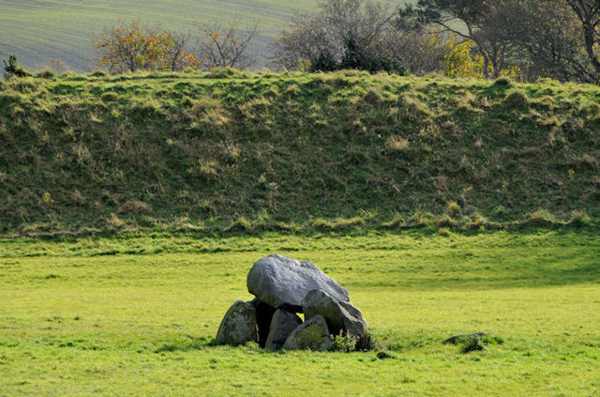
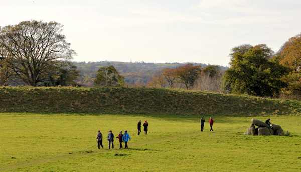
The enclosure bank and central tomb at the Giant’s Ring.
The enclosure bank and central tomb at the Giant’s Ring. Photo: Albert Bridge ↗ · CC BY-SA 2.0

From research

Is this worth your time?

Choose the Giant’s Ring for a focused archaeological stop within easy reach of the city. Walk slowly enough to compare the enclosure with its central stones, keeping to permitted ground. It can be linked with nearby countryside walks, but the monument deserves a distinct visit and should not be treated as a field for climbing or games.

Know before you book: A protected outdoor earthwork and tomb; do not climb or disturb the stones.

Place highlights

What you will actually see

01

Enclosing earthwork

The roughly 200-metre-wide enclosure is the site’s defining feature. Stand back and let its scale become clear before approaching the centre. The bank is archaeological fabric, not a convenient platform to wear into new paths or use for activities that damage its surface.

02

Central chamber

Five upright stones and a large capstone form the surviving frame of a chambered grave. Observe from the ground without climbing or moving stones. The exposed structure represents a tomb once covered with a cairn, so its current appearance is not the original finished monument.

03

Space between

The open area between the tomb and bank is essential to understanding the layout. Take time to compare distances and alignments from permitted paths. A wide view often explains more than a close crop of the capstone alone.

The story behind the visit

The story behind the place

The official account identifies the Giant’s Ring as a henge, a type of prehistoric enclosure known elsewhere in Britain and Ireland. The surrounding bank and the chambered tomb are related parts of a landscape whose original appearance has changed. The tomb’s bare stone frame survives after the covering cairn of stones and earth has largely disappeared, while the large circle remains legible in the ground. Source ↗

A short visit can therefore involve two different ways of looking. Close attention reveals the construction of the chamber; stepping back reveals the scale of the enclosure around it. Neither view alone tells the whole story. Avoid inventing a precise ceremony or purpose for every part when the evidence does not establish one. The site’s appeal does not depend on a complete explanation of prehistoric belief. Its surviving form, age and relationship with the open space are enough to make a careful circuit rewarding, provided visitors leave the earthwork and stones undisturbed. Source ↗

Visitor information

Tickets, timing and access

Opening
DfC lists public entry, with possible temporary restrictions for works.Confirm with the operator ↗
Admission
Entry is free.Confirm with the operator ↗
Booking
No ordinary timed admission is listed.Confirm with the operator ↗
Access
Grass and earthwork surfaces; keep to permitted approaches and do not climb stones.Confirm with the operator ↗
Duration
Allow 30–45 minutes for the enclosure and tomb.Confirm with the operator ↗
Seasonal
Wet ground and short daylight can affect the visit.Confirm with the operator ↗

Getting to the entrance

The official location is off Ballynahatty Road near Shaw’s Bridge; use the recognised site access rather than crossing neighbouring land. Official visitor information ↗

Your questions, answered

Confirm current access and visitor arrangements with the operator.

Was the tomb always exposed like this?

No. The surviving chamber was originally covered by a cairn. Source ↗

Is the bank just modern landscaping?

No. It is part of the protected prehistoric enclosure. Source ↗

Nearby options

Nearby places to explore

Explore other places in the area, then use live directions to plan your journey.

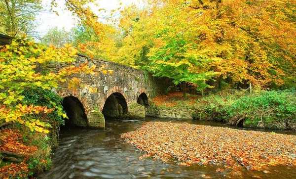
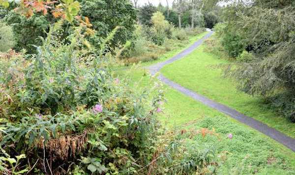
Autumn trees and the stone bridge at Minnowburn.
Autumn trees and the stone bridge at Minnowburn. Photo: Albert Bridge ↗ · CC BY-SA 2.0

nature

Minnowburn

Minnowburn is a National Trust countryside property on Belfast’s southern edge, where meadows and woodland descend towards the River Lagan. Riverside paths, the beech-lined burn and Terrace Hill Garden provide…

Open place page →
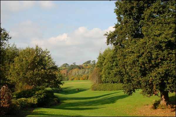
Paths through Belvoir Park Forest
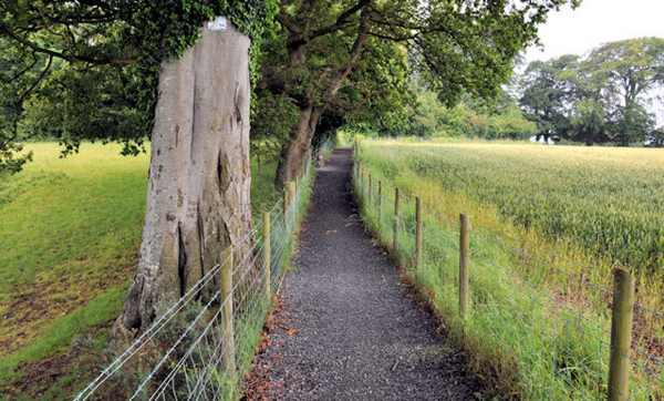
Paths through Belvoir Park Forest. Resized for display. Photo: Albert Bridge ↗ · CC BY-SA 2.0

nature

Belvoir Park Forest

Belvoir Park Forest is a working forest within Belfast, with waymarked walks, varied trees and historic remains beside the River Lagan. Forest Service describes a 75-hectare site opened in 1961, with older…

Open place page →
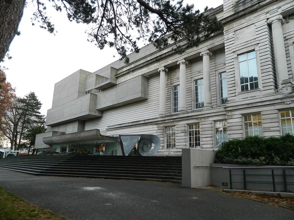
Exterior of the Ulster Museum
Exterior of the Ulster Museum. Credited source photograph; appearance and access may have changed. Resized from the original. Photo: Bazonka ↗ · CC BY-SA 3.0

attraction

Ulster Museum

Ulster Museum is a good place to slow a Belfast day down. Its mix of art, natural history and human history means you can follow one interest without committing to every gallery.

Open place page →

External visitor reviews

Find the matching listing and reviews on Google Maps ↗

Part of a bigger journey

Location & access

Getting your bearings

A protected outdoor earthwork and tomb; do not climb or disturb the stones.

54.54025, -5.95012 · Reference point; confirm the correct entrance and access. Map © OpenStreetMap contributors.

Orientation only: a verified public entrance is not established by this pin. Use the operator arrival information before travel.

Sources & place context

Browse more Ireland places →