Skip to content
TheLazyNick

nature · Sligo

Dooney Rock Forest

Dooney Rock Forest is a small woodland recreation site beside Lough Gill, with a nature trail leading towards an elevated view over the lake. Its literary association with W. B. Yeats adds another reason to pause. Choose the established route and expect a climb to the viewpoint rather than a completely level lakeside promenade.

Add to planSaved trips & places

Saved on this browser. No account needed.

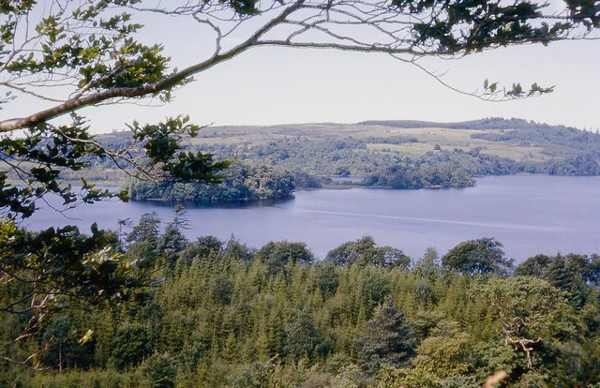
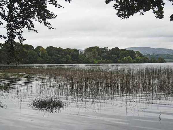
Cottage Island viewed from the Dooney Rock trail on Lough Gill.
Cottage Island viewed from the Dooney Rock trail on Lough Gill. Photo: Oliver Dixon ↗ · CC BY-SA 2.0

From research

Is this worth your time?

Choose Dooney if you want a compact woodland walk within a wider Sligo day. The lake, trees and literary connection give a short route several themes. Take the uphill section at a comfortable pace, keep children close near water and uneven ground, and leave wildlife sightings as a possibility rather than an expectation.

Know before you book: The viewpoint involves a climb and uneven outdoor ground. Use current signed trails and respect forestry or weather closures.

Place highlights

What you will actually see

01

The woodland trail

Follow the current signed nature route through the forest, watching footing where ground changes. Pause on the established public route and look carefully. Watch your footing as well as the view; keep well away from exposed edges for photographs.

02

Dooney Rock viewpoint

Only climb as far as your ability and conditions allow; pause securely before looking across the lake. Compare this feature with the wider surroundings. Use permitted approaches, leave plants and wildlife undisturbed and avoid shortcuts across adjoining land or fragile vegetation.

03

The lakeshore setting

Compare the enclosed trees with the broader water and islands visible through openings in the route. Choose a comfortable turning point before conditions limit the return. A shorter visit still reveals the place’s character; you need not reach every visible landmark.

The story behind the visit

The story behind the place

Coillte describes a nature trail of about 1.2 kilometres through mainly coniferous woodland to the elevated viewing point of Dooney Rock. Lough Gill and its islands give the route its wider setting, while the trees make the approach feel more enclosed. This change between close woodland and an outward view is the walk’s main structure. A modest distance still includes a climb, so allow time to move carefully rather than measuring the outing only by length. Source ↗

The place is associated with Yeats’s poem The Fiddler of Dooney, connecting a real landscape with its literary afterlife. That association can enrich the visit without requiring visitors to recreate a scene from the poem. Coillte also identifies the area’s natural interest within the Lough Gill landscape. Look at both aspects together: a woodland cared for as a recreation site and habitat, and a name carried into literature. Keep to the established path and let a quiet walk provide the setting for reflection. Source ↗

Visitor information

Tickets, timing and access

Opening
Plan a daylight visit and obey current Coillte notices.Confirm with the operator ↗
Admission
Check local signs for any parking or access arrangements.Confirm with the operator ↗
Booking
Independent walking has no advertised departure; organised activities need separate arrangements.Confirm with the operator ↗
Access
The short trail climbs towards the viewpoint; a short distance does not imply step-free access.Confirm with the operator ↗
Duration
Allow 60–90 minutes for a slow woodland and viewpoint visit.Confirm with the operator ↗
Seasonal
Wet paths and wind can affect the outing; shorten the route if necessary.Confirm with the operator ↗

Getting to the entrance

Use the signed Dooney Rock approach on the R287 between Sligo and Ballintogher. Follow the public forest entrance rather than adjoining private access. Official visitor information ↗

Your questions, answered

Confirm current access and visitor arrangements with the operator.

Must I complete a long walk?

No. Choose a shorter permitted outing that fits conditions and leaves a straightforward return. Source ↗

Does the viewpoint involve a climb?

Yes. Follow signed trails, considering your fitness, ground conditions and weather before continuing towards the viewpoint. Source ↗

Nearby options

Nearby places to explore

Explore other places in the area, then use live directions to plan your journey.

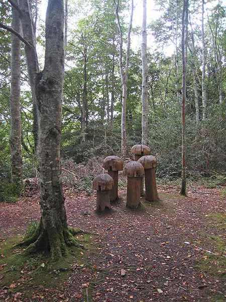
Toadstool sculpture among trees at Hazelwood
Toadstool sculpture among trees at Hazelwood. Resized for display. Photo: Oliver Dixon ↗ · CC BY-SA 2.0

nature

Hazelwood Forest

Hazelwood Forest follows the north-western shore of Lough Gill near Sligo, with woodland paths and glimpses of islands across the water. Coillte’s published loop provides a clear starting plan, with shorter…

Open place page →
Surviving medieval stonework at Sligo Abbey
Surviving medieval stonework at Sligo Abbey. Photo: Oliver Gargan ↗ · CC BY-SA 4.0

heritage

Sligo Abbey

Sligo Abbey is a good place to change the scale of a town visit. Leave the traffic outside and spend time on carved stone, the cloister arcade and the surviving altar. The site is not large, but it offers…

Open place page →
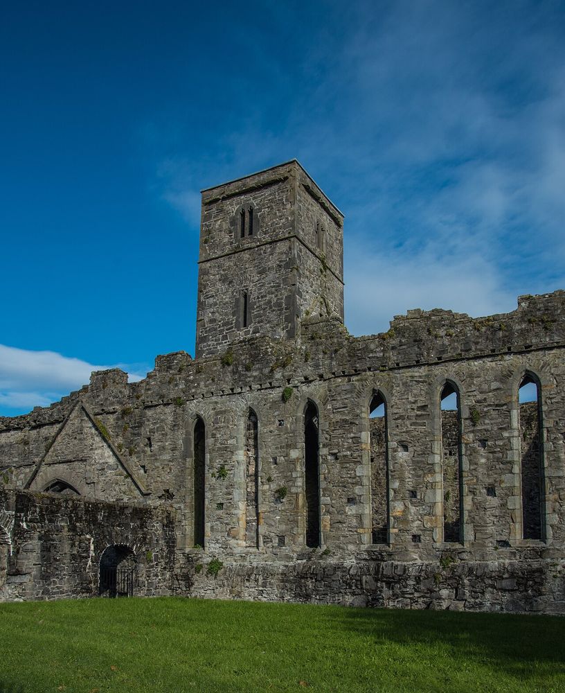
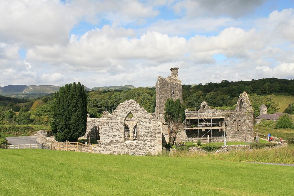
The roofless church walls and tower at Creevelea Abbey
The roofless church walls and tower at Creevelea Abbey. Resized from the credited source. Photo: Andreas F. Borchert ↗ · CC BY-SA 4.0

heritage

Creevelea Abbey

Creevelea’s roofless walls make a satisfying small heritage stop near Dromahair. The ruined friary has enough surviving structure to follow its spaces, while the River Bonet gives the approach a gentler…

Open place page →
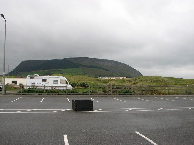
Knocknarea’s broad hill profile seen from Strandhill
Knocknarea’s broad hill profile seen from Strandhill. Source photograph; conditions and access may have changed. Photo: Willie Duffin ↗ · CC BY-SA 2.0

nature

Knocknarea and Queen Maeve Trail

Knocknarea’s summit cairn is visible long before you reach it, making the climb feel like a journey towards a landmark rather than simply uphill exercise. The views over Sligo and the coast are a reward when…

Open place page →

External visitor reviews

Find the matching listing and reviews on Google Maps ↗

Part of a bigger journey

Location & access

Getting your bearings

The viewpoint involves a climb and uneven outdoor ground. Use current signed trails and respect forestry or weather closures.

54.23832, -8.42801 · Reference point; confirm the correct entrance and access. Map © OpenStreetMap contributors.

Orientation only: a verified public entrance is not established by this pin. Use the operator arrival information before travel.

Sources & place context

Browse more Ireland places →