Skip to content
TheLazyNick

nature · Antrim

Divis and the Black Mountain

Divis and the Black Mountain bring an upland landscape to the edge of Belfast: open heath, blanket bog, stone tracks and long views across the city. Several routes share the same National Trust property, so choose one walk to suit the weather and your available daylight rather than treating every trail as a separate attraction.

Add to planSaved trips & places

Saved on this browser. No account needed.

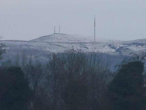
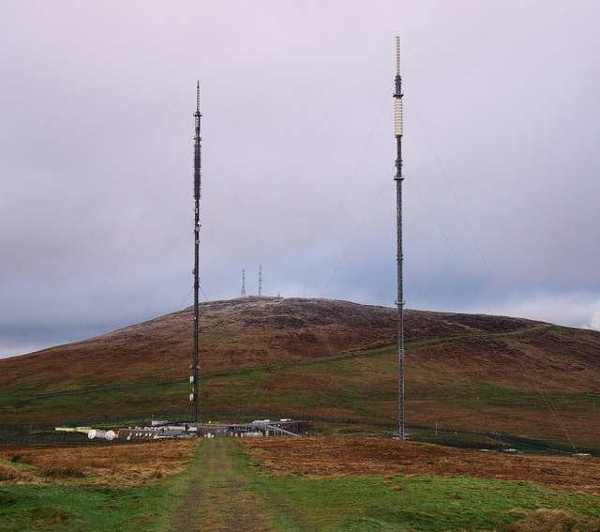
Transmitter masts on Divis Mountain
Transmitter masts on Divis Mountain. Resized for display. Photo: Rossographer ↗ · CC BY-SA 2.0

From research

Is this worth your time?

Choose the Summit Trail for a shorter climb or the Ridge Trail for a longer circuit with Belfast-facing views. The gentler Lough Trail offers another option. This is an exposed outdoor visit: low cloud can remove the panorama, and the current works mean that the upper car park and Barn Café are closed.

Know before you book: Use the lower car park; do not plan on the upper parking area or café being available.

Place highlights

What you will actually see

01

Summit route

The Summit Trail crosses heath and blanket bog towards Divis, the highest peak in the Belfast Hills. Its three-mile circuit is described by the National Trust as challenging. Pick it for the upland setting as well as the prospect of distant views.

02

Black Mountain ridge

The Ridge Trail is a longer circular walk across open slopes, with viewpoints over Belfast. Gravel, pitched stone, boardwalk and stiles mean that the route is more varied underfoot than a paved city-park path; allow time for the ground as well as the distance.

03

Lough Trail and habitats

The short Lough Trail follows a wider, gentler route near the Long Barn. Across the property, grassland, heath and bog support upland wildlife. Stay on designated paths and keep dogs on leads, particularly where cattle graze.

The story behind the visit

The story behind the place

The mountains form part of Belfast’s familiar skyline, but their slopes contain more than a viewpoint. Archaeological stonework survives within a patchwork of grassland and wet heath, and several rivers rise on the property. Read the landscape slowly: the surface of a bog, a watercourse and a stone-built feature tell different parts of its story. Remaining on the paths protects that mixture while keeping a walk manageable on ground which can hold water. Source ↗

The different named trails are alternative ways of exploring one mountain property. A clear day may reward a climb with distant horizons; mist shifts attention towards the nearby terrain instead. Choose your route before leaving the parking area, carry its map, and leave enough daylight for the return. Shortening a plan is sensible when visibility deteriorates. The current improvement project also changes the practical experience: limited toilets and closed upper parking make preparation more useful than assuming the facilities shown in older walking descriptions are operating. Source ↗

Visitor information

Tickets, timing and access

Opening
Countryside dawn–dusk; current works close upper parking and Barn Café.Confirm with the operator ↗
Admission
No countryside admission ticket; parking is free.Confirm with the operator ↗
Booking
Ordinary walking does not require a timed ticket.Confirm with the operator ↗
Access
Rough exposed paths; dogs on leads; toilets are limited during works.Confirm with the operator ↗
Duration
Summit about 90 minutes; Ridge up to three hours; Lough about 30 minutes.Confirm with the operator ↗
Seasonal
Check weather, daylight and current works before choosing a route.Confirm with the operator ↗

Getting to the entrance

Approach via Divis Road off Upper Springfield Road. The Trust warns there is no safe pedestrian approach along the surrounding roads. Official visitor information ↗

Your questions, answered

Confirm current access and visitor arrangements with the operator.

Which route should I choose?

Match the signed Summit, Ridge or Lough route to your time, conditions and ability. Source ↗

Can I rely on the café?

No. The Barn Café and upper car park are currently closed during works. Source ↗

Nearby options

Nearby places to explore

Explore other places in the area, then use live directions to plan your journey.

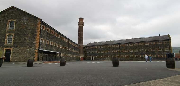
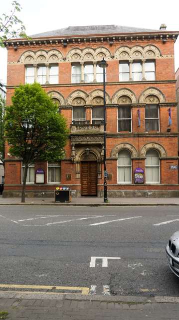
The prison courtyard and buildings at Crumlin Road Gaol.
The prison courtyard and buildings at Crumlin Road Gaol. Photo: Z thomas ↗ · CC BY-SA 4.0

heritage

Crumlin Road Gaol

Crumlin Road Gaol interprets imprisonment inside the former Belfast prison, using original spaces alongside audiovisual displays. The current standard experience is self-guided, so visitors can pause at the…

Open place page →
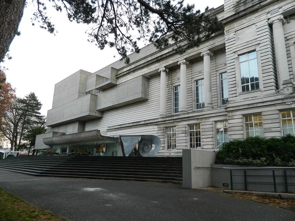
Exterior of the Ulster Museum
Exterior of the Ulster Museum. Credited source photograph; appearance and access may have changed. Resized from the original. Photo: Bazonka ↗ · CC BY-SA 3.0

attraction

Ulster Museum

Ulster Museum is a good place to slow a Belfast day down. Its mix of art, natural history and human history means you can follow one interest without committing to every gallery.

Open place page →
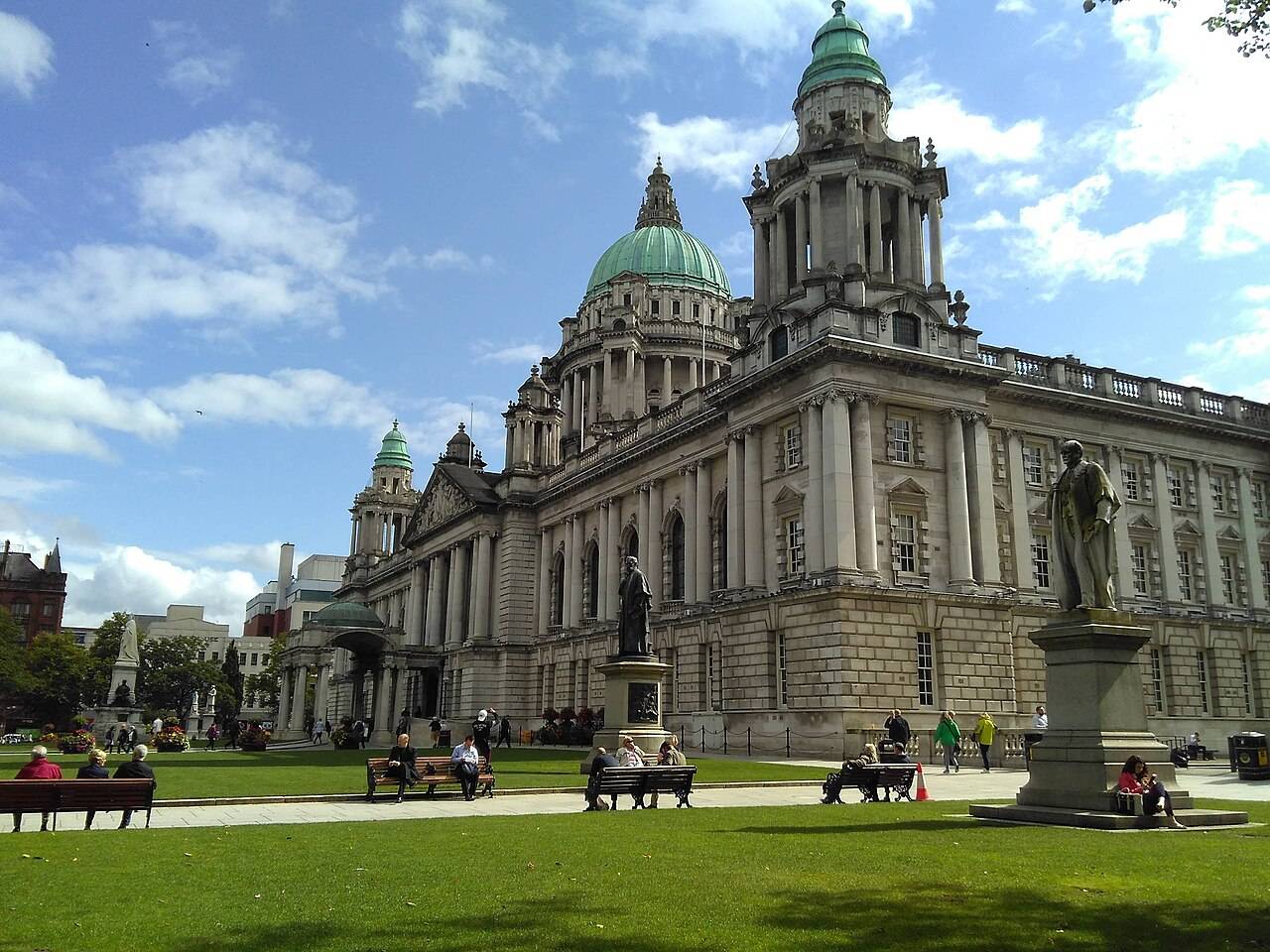
Side view of Belfast City Hall
Side view of Belfast City Hall. Source photograph; current access and conditions may differ. Photo: DeveshT ↗ · CC0

city

Belfast

Belfast works best as a set of neighbourhood choices, with the city centre, Titanic Quarter and other areas each needing their own time rather than one sprawling checklist.

Open place page →
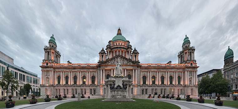
Belfast City Hall and its formal foreground.
Belfast City Hall and its formal foreground. Photo: Giorgio Galeotti ↗ · CC BY 4.0

heritage

Belfast City Hall

City Hall gives Belfast’s civic history an architectural setting: a Portland-stone landmark completed in 1906, with marble interiors and portraits encountered on its guided route. Choose between a tour of the…

Open place page →

External visitor reviews

Find the matching listing and reviews on Google Maps ↗

Part of a bigger journey

Location & access

Getting your bearings

Use the lower car park; do not plan on the upper parking area or café being available.

54.60074, -6.04165 · Reference point; confirm the correct entrance and access. Map © OpenStreetMap contributors.

Orientation only: a verified public entrance is not established by this pin. Use the operator arrival information before travel.

Sources & place context

Browse more Ireland places →