Skip to content
TheLazyNick

heritage · Clare

Corcomroe Cistercian Abbey

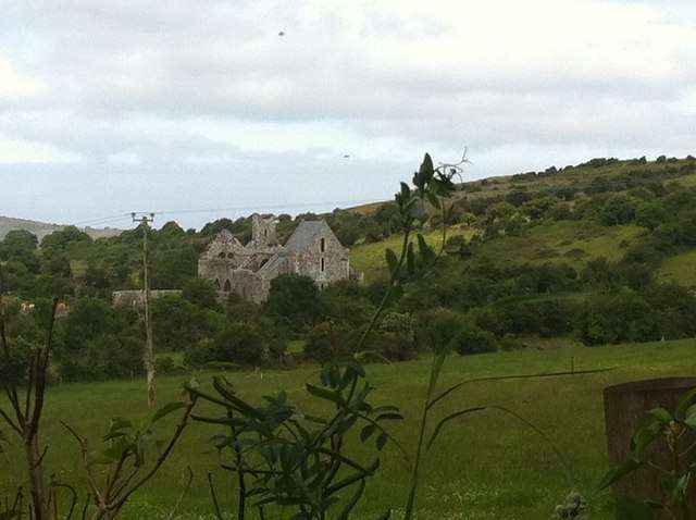
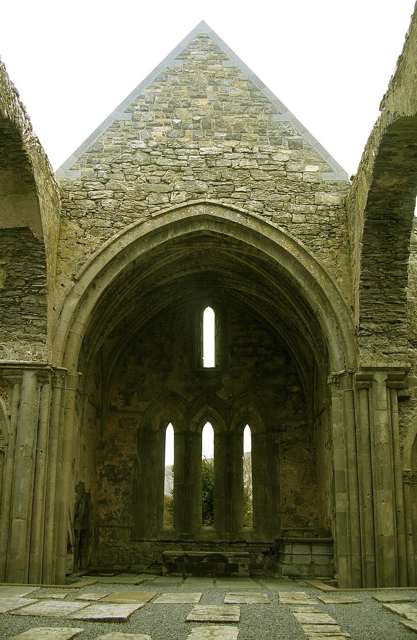
Corcomroe Abbey sits beneath the limestone hills of the northern Burren, where finely carved medieval stonework rewards a close visit. The roofless Cistercian church retains enough detail to reveal the skill and ambition of its builders. Its landscape setting matters, but the most memorable features may be the small carvings inside the surviving architecture.

Add to planSaved trips & places

Saved on this browser. No account needed.

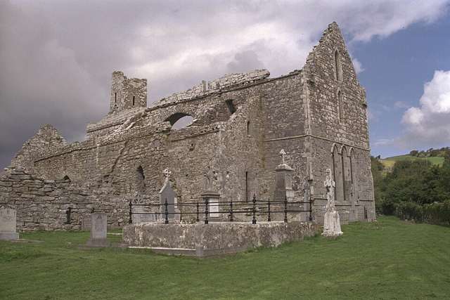
The church ruins at Corcomroe Abbey
The church ruins at Corcomroe Abbey. Resized for display. Photo: Andreas F. Borchert ↗ · CC BY-SA 4.0

From research

Is this worth your time?

Choose it for medieval sculpture and an atmospheric ruin away from the Burren’s busiest viewpoints. It suits visitors willing to slow down and look at details rather than cover a large managed attraction. Allow care on the narrow approach road and around the grave slabs within the church.

Know before you book: OPW describes a narrow approach road. The ruin and burial areas have uneven surfaces; do not climb masonry or treat carved stone and graves as places to sit.

Place highlights

What you will actually see

01

Carved capitals

Look for the human and plant forms carved into the architectural details. These small features repay patient observation and connect the church with the work of individual masons, even when the larger building first appears to be a simple roofless shell.

02

Chancel and tomb

The eastern part of the church preserves particularly rich detail, including the effigy tomb associated with Conor O’Brien. Follow the permitted route and give other visitors room to look, without leaning against the vulnerable carved surfaces.

03

Burren setting

Step back to see the church against the surrounding hills. The agricultural setting and limestone landscape help explain the abbey’s traditional name, Saint Mary of the Fertile Rock, while its position also connects it with the power of local medieval families.

The story behind the visit

The story behind the place

Corcomroe was a Cistercian foundation established around the end of the twelfth century, with O’Brien patronage central to its history. The precise founder and date are debated, while the surviving church belongs mainly to the early thirteenth century. Its architectural detail demonstrates that a rural monastic setting could support sophisticated craftsmanship rather than a purely austere or undecorated building. Source ↗

The tomb of Conor O’Brien, who died in 1268, makes the relationship between patronage and religious life tangible. Carved plant forms and faces add another dimension, encouraging visitors to look at the church as the product of skilled hands as well as an institution. Later loss and conservation have shaped the ruin now visible, so the surviving church is only part of a once larger community and working landscape. The small carvings are therefore more than decoration: they provide a direct encounter with craftsmanship within a much wider story of land, patronage and religious practice. Source ↗

Visitor information

Tickets, timing and access

Opening
Unguided outdoor monument: visit in daylight and follow current local notices.Confirm with the operator ↗
Admission
The official Clare visitor service lists the abbey as free to visit.Confirm with the operator ↗
Booking
No regular guided departure is advertised. Arrange organised group or specialist visits separately.Confirm with the operator ↗
Access
Unguided ruin reached by a narrow road. Use permitted paths and take care around uneven ground and grave slabs.Confirm with the operator ↗
Duration
Allow 30–45 minutes, depending on conditions and interest.Confirm with the operator ↗
Seasonal
Exposed outdoor remains can be wet or slippery. Short winter daylight calls for a flexible plan.Confirm with the operator ↗

Getting to the entrance

Corcomroe is near Bellharbour in the northern Burren. Follow local signs and allow room for other vehicles on the narrow approach. Official visitor information ↗

Your questions, answered

Confirm current access and visitor arrangements with the operator.

Can I explore independently?

This is an unguided visit. Stay within the access permitted by current signs and barriers. Source ↗

Can I enter every structure?

Closed areas and upper levels may be restricted. Follow current signs and do not enter private land beyond the published approach. Source ↗

Nearby options

Nearby places to explore

Explore other places in the area, then use live directions to plan your journey.

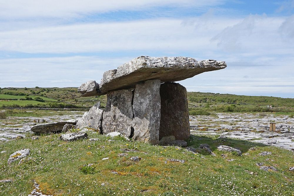
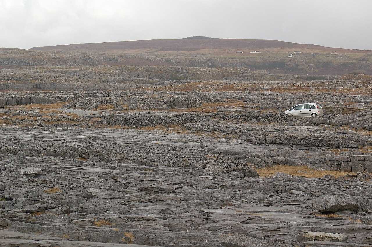
Poulnabrone portal tomb on the Burren limestone plateau
Poulnabrone portal tomb on the Burren limestone plateau. Photo: Bernard Gagnon ↗ · CC BY-SA 4.0

heritage

Poulnabrone Dolmen

Poulnabrone is small enough to be rushed and old enough to deserve better. The tilted capstone stands above a rough limestone plateau, with very little competing for your attention. After the familiar…

Open place page →
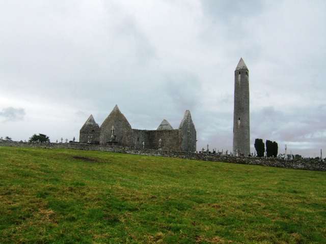
Kilmacduagh monastic ruins and round tower
Kilmacduagh monastic ruins and round tower. Source photograph: 2011-07-06. Appearance, displays and access may have changed. Photo: John M ↗ · CC BY-SA 2.0

heritage

Kilmacduagh Monastic Site

Kilmacduagh brings a tall leaning round tower, a ruined cathedral and several other medieval buildings together near the edge of the Burren. The interest lies in the whole ecclesiastical landscape rather than…

Open place page →
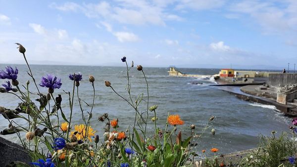
Wildflowers, the sea wall and Blackrock Diving Tower in August 2021
Wildflowers, the sea wall and Blackrock Diving Tower in August 2021. Resized from the credited photograph; this dated view does not establish current conditions. Photo: Ciara Ní Riain ↗ · CC BY-SA 4.0

attraction

Blackrock area viewpoint

Finish a Salthill outing with a land-based view towards Blackrock’s familiar diving structure, without turning the stop into a swim.

Open place page →

External visitor reviews

Find the matching listing and reviews on Google Maps ↗

Part of a bigger journey

Location & access

Getting your bearings

OPW describes a narrow approach road. The ruin and burial areas have uneven surfaces; do not climb masonry or treat carved stone and graves as places to sit.

53.12684, -9.05401 · Reference point; confirm the correct entrance and access. Map © OpenStreetMap contributors.

Orientation only: a verified public entrance is not established by this pin. Use the operator arrival information before travel.

Sources & place context

Browse more Ireland places →