Skip to content
TheLazyNick

heritage · Armagh

Ballykeel Portal Tomb (Dolmen)

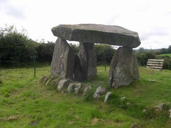
Ballykeel Dolmen and Cairn is a Neolithic burial monument near Mullaghbawn, known locally as the Hag’s Chair. A large capstone rests above an octagonal chamber at the southern end of a much reduced cairn. The Department for Communities lists free public entry, subject to occasional restrictions for work on the site.

Add to planSaved trips & places

Saved on this browser. No account needed.

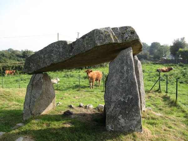
Capstone and portal stones at Ballykeel Dolmen
Capstone and portal stones at Ballykeel Dolmen. Resized for display. Photo: Ron Murray ↗ · CC BY-SA 2.0

From research

Is this worth your time?

Choose Ballykeel for a compact archaeological stop where a few surviving stones can be read carefully without a long walking route. The chamber attracts the eye, but the cairn’s surviving edges are just as important to the original design. Keep the visit gentle: observe from ground level, avoid climbing and leave every stone in place.

Know before you book: A fragile outdoor burial monument; remain on permitted approaches and do not climb.

Place highlights

What you will actually see

01

Capstone and chamber

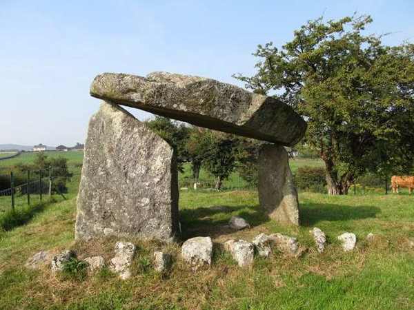
The large capstone and supporting uprights define the monument’s most recognisable form. Look at the chamber from several ground-level positions without entering confined spaces or touching fragile surfaces. Its scale is best appreciated by standing back rather than posing on the stones.

02

Cairn outline

Two parallel lines of carefully placed stones preserve the edges of a cairn which has largely disappeared. Look beyond the chamber to understand the longer monument. The gaps matter: they remind you that the structure visible today is only part of its original appearance.

03

Burial landscape

The tomb’s position in the surrounding countryside gives a small site a wider context. Take time to look outward as well as at the capstone. Stay within the public site and its proper access, rather than extending the visit across neighbouring land.

The story behind the visit

The story behind the place

The official account dates this burial site to the Neolithic, between 4000 and 2500 BC. Its familiar nickname, the Hag’s Chair, belongs to a later way of explaining an imposing stone structure. Keeping the archaeological purpose and the folk name together adds interest without turning the nickname into evidence about the people who built the tomb. The chamber and cairn are the surviving clues to that much earlier activity. Source ↗

Excavation in 1963 found pottery sherds and flint tools, as well as evidence of a stone-lined grave inserted into the cairn’s northern end. That grave is no longer visible, so a visit requires a little imagination alongside close observation. Do not expect the excavated finds to be displayed at the monument itself. Instead, follow the visible outline and consider how much earth and stone have been lost. A short, attentive stop is enough to appreciate the construction while leaving the site undisturbed for the next visitor. Source ↗

Visitor information

Tickets, timing and access

Opening
DfC lists public entry, with occasional restrictions for works.Confirm with the operator ↗
Admission
Entry is free.Confirm with the operator ↗
Booking
No routine timed ticket is listed.Confirm with the operator ↗
Access
Use the permitted approach; do not climb or move stones.Confirm with the operator ↗
Duration
Allow about 30 minutes for careful viewing.Confirm with the operator ↗
Seasonal
Grass and rural approaches can be wet or uneven.Confirm with the operator ↗

Getting to the entrance

The official address is Ballykeel Road, Mullaghbawn; use the signed site access and avoid blocking local lanes. Official visitor information ↗

Your questions, answered

Confirm current access and visitor arrangements with the operator.

Why look beyond the capstone?

Surviving edge stones show the longer cairn to which the chamber belonged. Source ↗

Are the excavation finds displayed here?

Do not expect an on-site collection; the visit is to the monument itself. Source ↗

Nearby options

Nearby places to explore

Explore other places in the area, then use live directions to plan your journey.

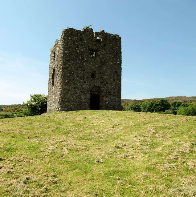
The surviving tower at Moyry Castle
The surviving tower at Moyry Castle. Resized for display. Photo: Eric Jones ↗ · CC BY-SA 2.0

heritage

Moyry Castle

Moyry Castle is a small ruined tower on a rocky height overlooking the Gap of the North near Jonesborough. Its size makes more sense when viewed in relation to the pass it was built to control. This is an…

Open place page →
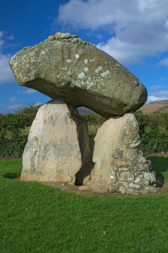
The capstone and upright stones of Proleek Dolmen
The capstone and upright stones of Proleek Dolmen. Source photograph; current access and conditions may differ. Resized from the credited source. Photo: Gia.S.Cen ↗ · CC BY-SA 4.0

heritage

Proleek Dolmen

Proleek’s enormous capstone is the detail that stays with you. The portal tomb sits in maintained grounds near Ballymascanlon, a prehistoric structure encountered on a walk rather than through a major visitor…

Open place page →
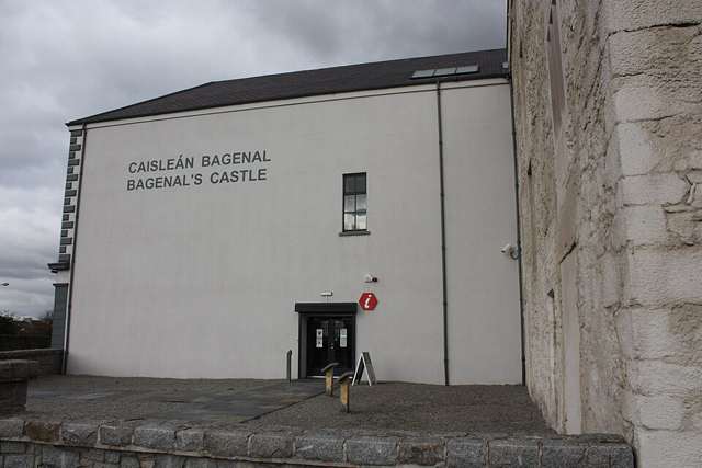
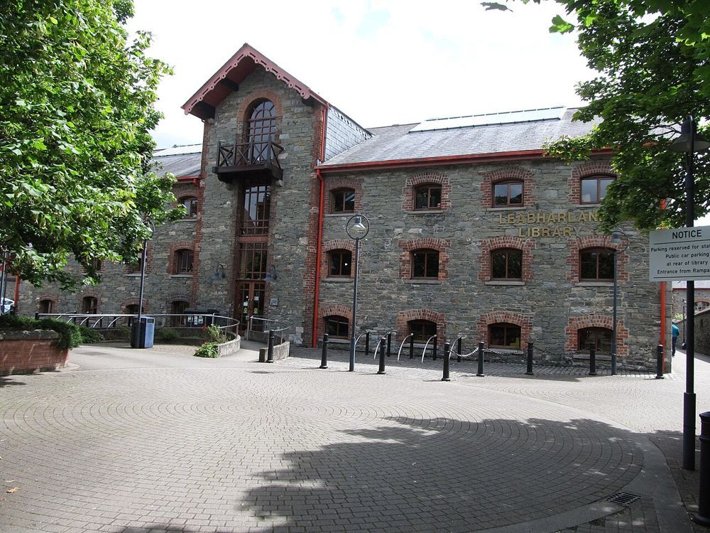
The stone frontage of the County Museum building in Dundalk
The stone frontage of the County Museum building in Dundalk. Source photograph; current access and conditions may differ. Resized from the credited source. Photo: Eric Jones ↗ · CC BY-SA 2.0

attraction

Louth County Museum

Dundalk’s county museum gives Louth a useful indoor chapter. In a restored warehouse, archaeological objects sit alongside the county’s industrial and social history. It is the place to connect the crosses,…

Open place page →
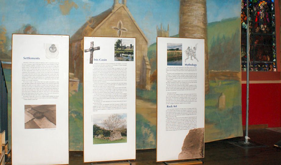
An earlier interpretation display at the Patrick Kavanagh Centre
An earlier interpretation display at the Patrick Kavanagh Centre. The current exhibition layout may differ. Source photograph; current access and conditions may differ. Resized from the credited source. Photo: Cathar11 ↗ · CC0

attraction

Patrick Kavanagh Centre

The Patrick Kavanagh Centre makes most sense alongside the village and fields that shaped his writing. The exhibition in a former church gives the life story; a little time outside lets you connect it with…

Open place page →
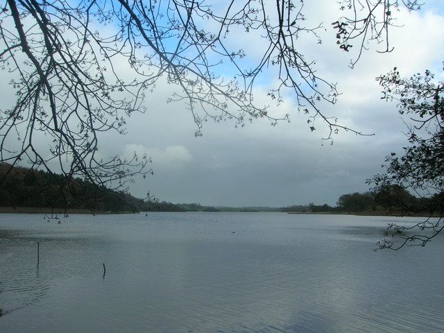
Lough Muckno framed by shoreline trees
Lough Muckno framed by shoreline trees. Source photograph; current access and conditions may differ. Resized from the credited source. Photo: davefalconer ↗ · CC BY-SA 2.0

nature

Lough Muckno

Lough Muckno gives Castleblayney a generous lake-and-woodland edge. You can make the outing as simple as a shore pause or choose a mapped walk through the former estate. The park is more immediately useful…

Open place page →

External visitor reviews

Find the matching listing and reviews on Google Maps ↗

Part of a bigger journey

Location & access

Getting your bearings

A fragile outdoor burial monument; remain on permitted approaches and do not climb.

54.13143, -6.47822 · Reference point; confirm the correct entrance and access. Map © OpenStreetMap contributors.

Orientation only: a verified public entrance is not established by this pin. Use the operator arrival information before travel.

Sources & place context

Browse more Ireland places →