Strategic height
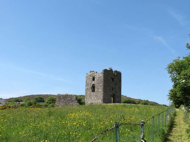
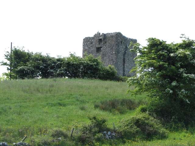
Begin by looking at the rocky position and the route through the pass. The building was placed to control movement, so the wider landscape is essential to understanding a tower of relatively modest size.

heritage · Armagh
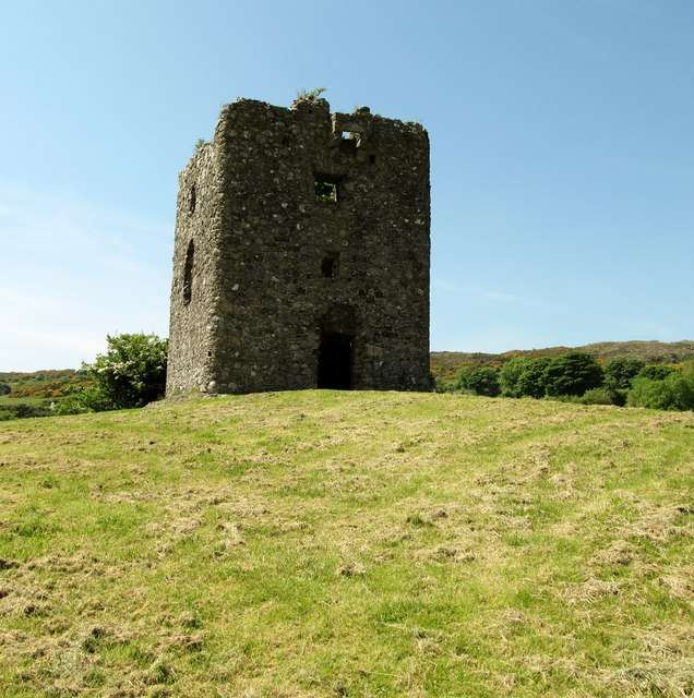
Moyry Castle is a small ruined tower on a rocky height overlooking the Gap of the North near Jonesborough. Its size makes more sense when viewed in relation to the pass it was built to control. This is an outdoor military-heritage stop, with surviving defensive details and a landscape that explains the building’s purpose.
From research
Choose it for a compact visit to a strategic site rather than a large castle complex. Look at the tower’s rounded corners and openings, then consider the route through the pass. The upper floors are part of the historic fabric, not a promise of a modern visitor route to every level.
Know before you book: Free public monument access, subject to temporary restrictions. Use the permitted ground-level route and respect closed doorways, uneven rock and ruined masonry.
Place highlights
Begin by looking at the rocky position and the route through the pass. The building was placed to control movement, so the wider landscape is essential to understanding a tower of relatively modest size.
Look for gun loops and the protection over the doorway from safe public ground. These details connect the architecture with the military purpose rather than a grand domestic residence.
Read the tower together with the surviving enclosure traces. A simple plan can still reveal the relationship between the central building, its immediate protection and the surrounding ground.
The story behind the visit
The castle was built in 1601 during Mountjoy’s northern campaign to secure the strategically important Moyry Pass. The Department for Communities describes a short military life, which helps explain the contrast between the site’s significance and the relatively small scale of the surviving tower. Its purpose was control of a route rather than the display of a great household. Source ↗
The tower has rounded corners, gun loops and a machicolation above the entrance. Windows and fireplaces show that accommodation existed, though the authority questions how comfortable it could have been. Fragmentary bawn walls survive around the structure. Seeing these features in their rocky setting offers a clearer visit than expecting a restored castle interior, and it allows the military history to be understood without climbing into unsafe or closed parts of the ruin. Looking first at the pass and then at the building makes its scale, location and defensive details easier to understand. Source ↗
Visitor information
Follow the official approach from Kilnasaggart Road near Jonesborough, BT35 8JA. Keep local access clear and use the designated public route to the monument. Official visitor information ↗
Confirm current access and visitor arrangements with the operator.
It was constructed in 1601 to secure the strategically important pass during Mountjoy’s northern campaign. Source ↗
No. The visitor experience is the surviving ruined tower and its setting. Source ↗
Nearby options
Explore other places in the area, then use live directions to plan your journey.
heritage
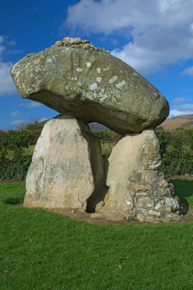
Proleek’s enormous capstone is the detail that stays with you. The portal tomb sits in maintained grounds near Ballymascanlon, a prehistoric structure encountered on a walk rather than through a major visitor…
Open place page →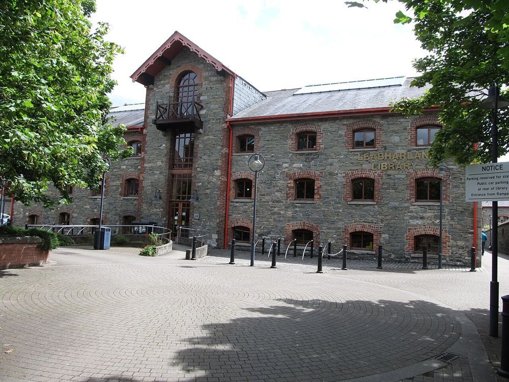
attraction
Dundalk’s county museum gives Louth a useful indoor chapter. In a restored warehouse, archaeological objects sit alongside the county’s industrial and social history. It is the place to connect the crosses,…
Open place page →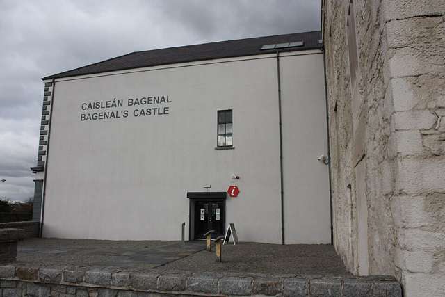
heritage
Newry and Mourne Museum brings local history into the restored setting of Bagenal’s Castle and an adjoining warehouse. The displays range from early material to Newry’s commercial life and the experiences of a…
Open place page →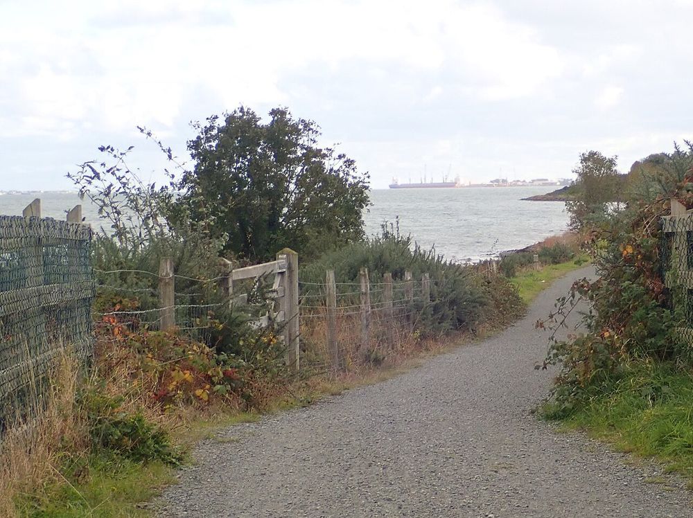
nature
The Carlingford Lough Greenway lets you spend time with the water at walking or cycling pace. The attraction is the changing relationship between shoreline and mountains, not reaching a finish line. Choose a…
Open place page →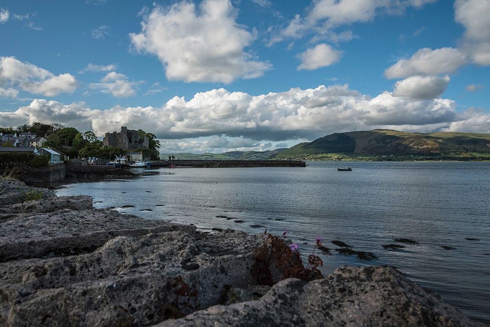
heritage
Carlingford Castle is most persuasive when seen together with the lough. Its position above the waterfront makes the defensive purpose immediately obvious, while the town’s streets are close enough to keep the…
Open place page →
attraction
The Patrick Kavanagh Centre makes most sense alongside the village and fields that shaped his writing. The exhibition in a former church gives the life story; a little time outside lets you connect it with…
Open place page →Location & access
Free public monument access, subject to temporary restrictions. Use the permitted ground-level route and respect closed doorways, uneven rock and ruined masonry.
54.07029, -6.38522 · Reference point; confirm the correct entrance and access. Map © OpenStreetMap contributors.
Orientation only: a verified public entrance is not established by this pin. Use the operator arrival information before travel.