The stable-yard experience
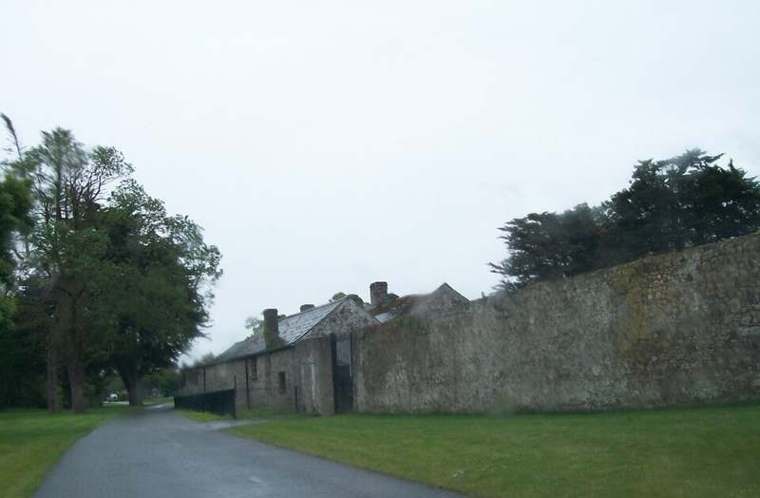
Follow the signed public entry through the stable yard. Use the interpretation offered there to establish the armies, dates and geography before heading into the grounds.

heritage · Meath
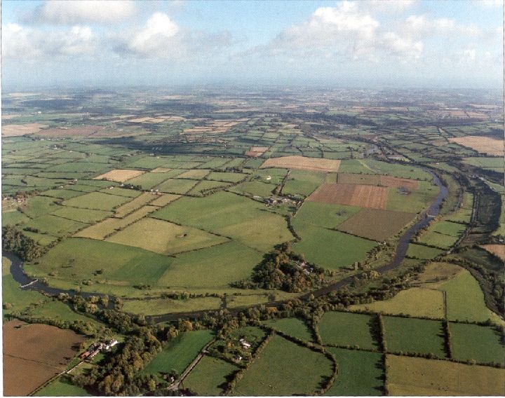
At Oldbridge, a riverside landscape becomes a way to understand the Battle of the Boyne. Begin with the visitor interpretation and then give the estate walks time of their own. Looking across the ground helps turn names and movements on a map into a sense of distance and terrain.
From research
Choose this for seventeenth-century history with an outdoor visit. The current public experience is in the stable yard because Oldbridge House remains closed. Plan around that arrangement, then choose a signed walk suitable for your time and the conditions.
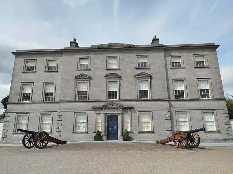
Know before you book: The house exterior in photographs does not mean its interior is open. Winter weather can affect the visitor experience, and the OPW also flags road restrictions and uneven parkland. Check the current official notices before setting out, particularly if the journey depends on indoor interpretation.
Place highlights
Follow the signed public entry through the stable yard. Use the interpretation offered there to establish the armies, dates and geography before heading into the grounds.
On a signed estate walk, look at slopes, distances and the relationship with the river. The point is to understand the setting, rather than expecting visible remains of every action described.
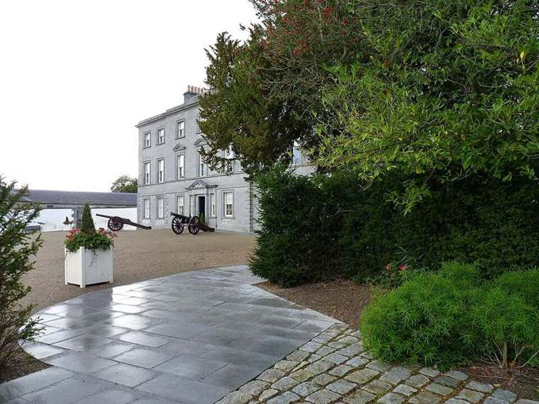
Look at the later house and designed grounds as another layer of the site. The estate landscape you see today is not an untouched reconstruction of the battlefield in 1690.
The story behind the visit
William III and James II fought here on 1 July 1690 using the calendar then in force. Meath County Council places the battle within a wider European struggle and the competing claims to the English, Scottish and Irish thrones. That context matters as much as the clash at the river. Source ↗
The crossing at Oldbridge was a central action. The National Army Museum describes how Williamite infantry crossed and established a position while manoeuvres elsewhere drew away opposing forces. Use the landscape to consider the importance of crossing points without reducing the battle to a single viewpoint. Source ↗
Oldbridge House is an eighteenth-century building, later than the battle. Its estate now supports public interpretation and walks, but the OPW’s current notice moves the experience into the adjoining stable yard. That operational change takes priority over older descriptions of exhibitions inside the house. Source ↗
Visitor information
Use Oldbridge Estate, near Drogheda in County Meath, A92 CY68. The OPW advises approach via M1 exit 9 or Donore and flags restrictions on part of Oldbridge Road. Follow the current visitor signs to the stable yard; the official marker is a property reference. Official visitor information ↗
Confirm current access and visitor arrangements with the operator.
The current OPW notice says the house remains closed. The visitor experience is in the adjoining stable yard. Source ↗
No. The OPW describes free self-guided exhibition admission as limited-time. Review current information before your visit. Source ↗
It may close in adverse conditions. The OPW advises checking by phone before beginning the journey when the weather is poor. Source ↗
Nearby options
Explore other places in the area, then use live directions to plan your journey.
heritage
Brú na Bóinne is a planned archaeological visit, with the visitor centre and official shuttle system forming part of the experience rather than an optional prelude.
Open place page →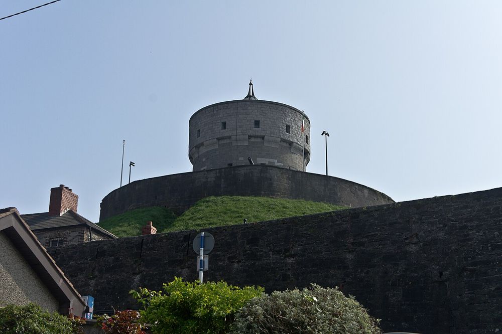
attraction
Millmount gives Drogheda both a lookout and a local history collection. The mound rises above the streets, so the town becomes easier to understand geographically before the exhibits add its human detail.…
Open place page →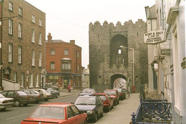
heritage
St Laurence’s Gate is a compact but memorable piece of medieval Drogheda. Two tall towers and the arch between them turn an ordinary street into a glimpse of the defended town. It works best as part of a walk,…
Open place page →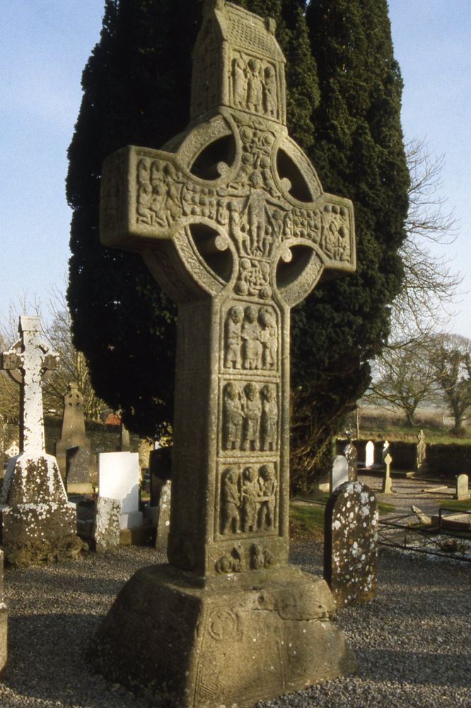
heritage
Monasterboice is worth slowing down for the carved crosses. From a distance they are impressive silhouettes; close up, the crowded panels turn them into a visual storytelling surface. The round tower gives the…
Open place page →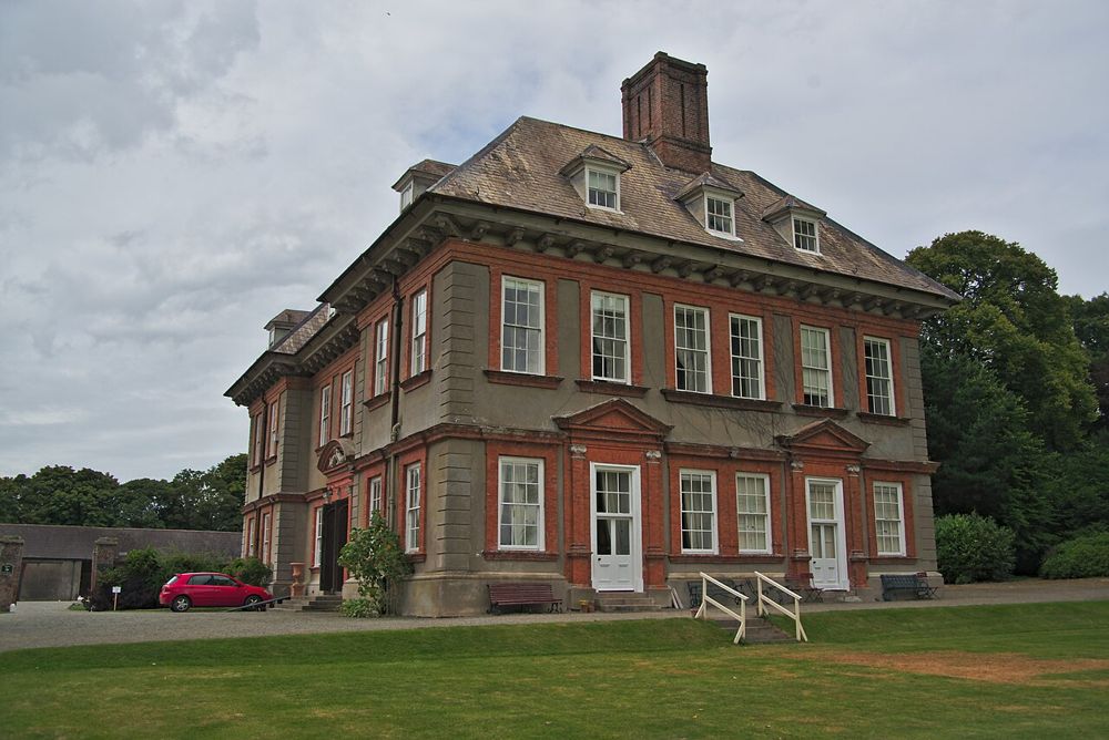
heritage
Beaulieu is a planned house-and-garden visit on the Boyne rather than an attraction to leave to chance. Its value is in the relationship between the historic home, its collections and its setting. The right…
Open place page →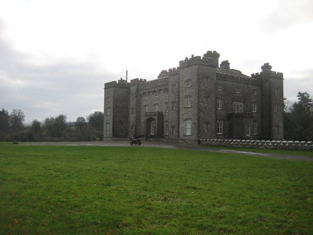
heritage
Slane is a country house with a second life as a concert landmark. A castle tour connects the rooms and family history with the musicians who made its sloping grounds famous. That mix is the reason to come: it…
Open place page →Location & access
The house exterior in photographs does not mean its interior is open. Winter weather can affect the visitor experience, and the OPW also flags road restrictions and uneven parkland. Check the current official notices before setting out, particularly if the journey depends on indoor interpretation.
53.72306, -6.41881 · Reference point; confirm the correct entrance and access. Map © OpenStreetMap contributors.
Orientation only: a verified public entrance is not established by this pin. Use the operator arrival information before travel.