Skip to content
TheLazyNick

heritage · Tyrone

Benburb Castle

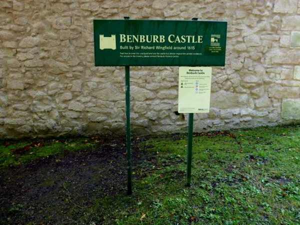
Benburb Castle stands above the River Blackwater in the grounds of Benburb Servite Priory. Also known as Wingfield’s Castle, it combines a walled enclosure with towers and later occupation. The Department for Communities lists access by arrangement, and a house within the bawn is privately occupied, so the visitor boundary matters.

Add to planSaved trips & places

Saved on this browser. No account needed.

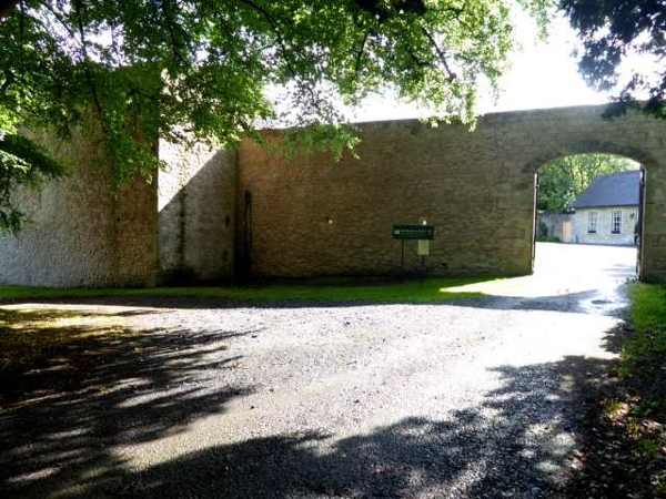
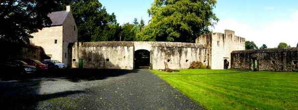
Courtyard and surviving walls at Benburb Castle
Courtyard and surviving walls at Benburb Castle. Resized for display. Photo: Kenneth Allen ↗ · CC BY-SA 2.0

From research

Is this worth your time?

Choose Benburb for plantation-era architecture and its dramatic river setting, provided you can arrange access in advance. It is not an unrestricted public ruin to enter on impulse. Confirm what the visit includes and respect the privately occupied house; an exterior photograph or an open gate is not evidence of permission to wander.

Know before you book: By-arrangement access only; the house inside the bawn is private.

Place highlights

What you will actually see

01

Bawn enclosure

The irregular rectangular enclosure is defined by walls surviving close to full height. From the agreed visitor area, compare the breadth of the enclosure with the towers at its corners. Do not assume that all ground within the walls is included in public access.

02

Corner towers

The north-eastern and north-western towers resemble tall houses more than simple defensive flankers. One has been restored and re-roofed. Their domestic appearance is a useful detail to notice, but a historical description does not promise that their interiors are open.

03

Blackwater setting

The cliff-edge position above the river is central to the castle’s effect. Enjoy it only from the permitted safe route and keep well back from edges. The river landscape helps explain the site’s prominence without any need to descend towards the postern or cliff.

The story behind the visit

The story behind the place

Sir Richard Wingfield built the castle around 1615, on or near a stronghold associated with Shane O’Neill. The site therefore combines an older strategic setting with a plantation-era enclosure. The surviving towers and walls show a mixture of residence and defence rather than a single massive keep. Looking at their arrangement can be more revealing than searching for an imagined medieval castle plan. Source ↗

The enclosure also contains a nineteenth-century house which remains privately occupied. That later use is part of the site’s history and a practical limit on the visitor experience. A carefully arranged visit can appreciate the older walls while giving residents their space. Ask the state-care contact about the permitted route, meeting point and any charge before travelling. The cliff-edge location deserves the same restraint: the existence of a stair and postern in the historical description should never be read as an invitation to explore them independently or approach the river by an improvised route. Source ↗

Visitor information

Tickets, timing and access

Opening
Public access is by arrangement, not regular open hours.Confirm with the operator ↗
Admission
Charges may apply; confirm when arranging.Confirm with the operator ↗
Booking
Contact DfC state-care enquiries before travelling.Confirm with the operator ↗
Access
Respect private occupation and the agreed visitor route.Confirm with the operator ↗
Duration
Allow 30–45 minutes after access is confirmed.Confirm with the operator ↗
Seasonal
Do not infer availability from the surrounding priory grounds.Confirm with the operator ↗

Getting to the entrance

The official location is Main Street, Benburb; confirm the access point and meeting arrangements directly. Official visitor information ↗

Your questions, answered

Confirm current access and visitor arrangements with the operator.

Can I explore the house in the bawn?

No. The nineteenth-century house is privately occupied. Source ↗

Is it also called Wingfield’s Castle?

Yes. DfC uses both names for the same site. Source ↗

Nearby options

Nearby places to explore

Explore other places in the area, then use live directions to plan your journey.

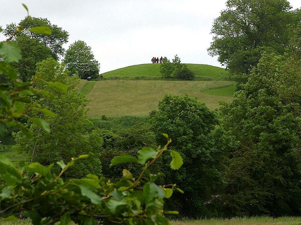
The grass-covered mound at Navan Fort
The grass-covered mound at Navan Fort. Credited source photograph; appearance and access may have changed. Resized from the original. Photo: Jon Sullivan ↗ · Public domain

heritage

Navan Centre & Fort

Navan Fort is easier to appreciate when you arrive with a question about ancient Ulster, rather than expecting standing castle walls. The ceremonial earthwork and the interpretive centre offer different ways…

Open place page →
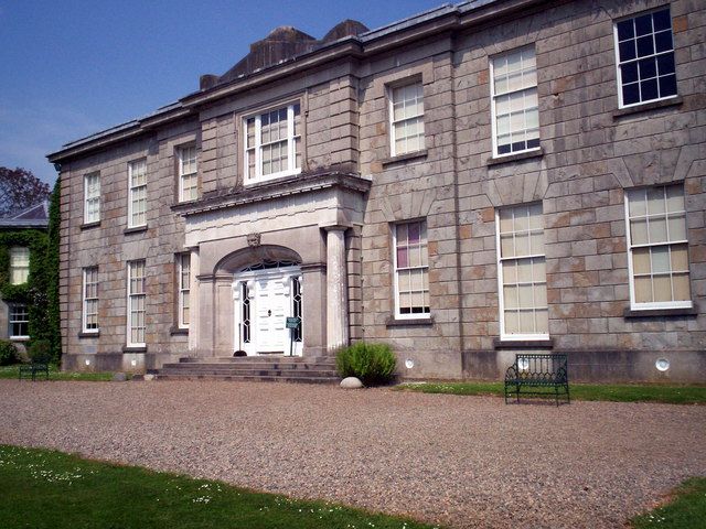
The Argory country house
The Argory country house. Credited source photograph; appearance and access may have changed. Resized from the original. Photo: Phyllis Flannagan ↗ · CC BY-SA 2.0

heritage

The Argory

The Argory is a house visit with a river landscape attached, rather than a castle spectacle. Its rooms, collections and grounds reward the visitor who wants to understand a particular household and its tastes.

Open place page →
The lake in Dungannon Park
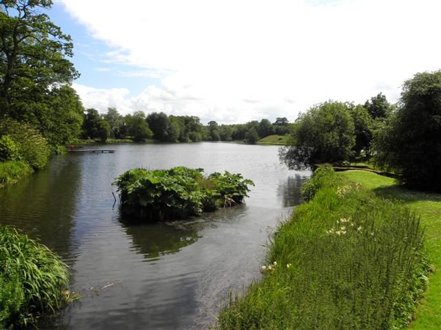
The lake in Dungannon Park. Credited source photograph; appearance and access may have changed. Resized from the original. Photo: Kenneth Allen ↗ · CC BY-SA 2.0

nature

Dungannon Park

Dungannon Park is useful because it does not demand a grand expedition. Lake-side paths and green space offer a relaxed outdoor counterpoint to the town’s historical attractions, with a route you can shape to…

Open place page →
West facade of the Roman Catholic St Patrick’s Cathedral in Armagh
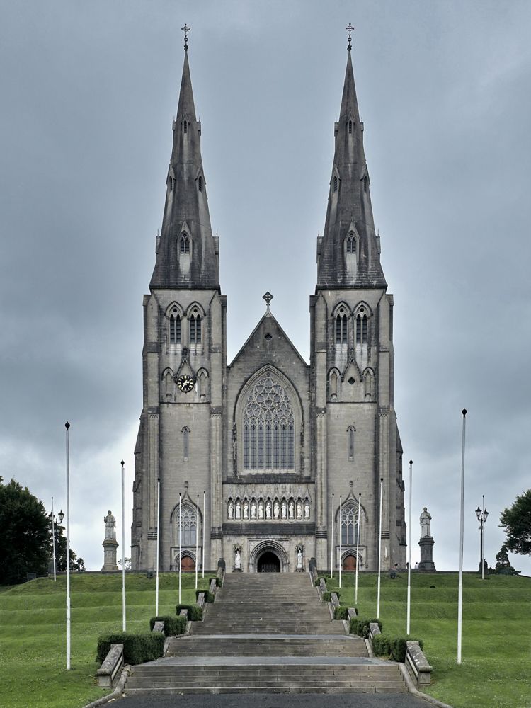
West facade of the Roman Catholic St Patrick’s Cathedral in Armagh. Credited source photograph; appearance and access may have changed. Resized from the original. Photo: NateBergin ↗ · CC BY 4.0

heritage

Saint Patrick’s Roman Catholic Cathedral

Armagh’s Roman Catholic cathedral is the twin-spired building above Cathedral Road. The exterior announces its scale, but the mosaics, painted ceiling and stained glass make a quiet interior visit the stronger…

Open place page →
The entrance wall and trees at Loughgall Country Park
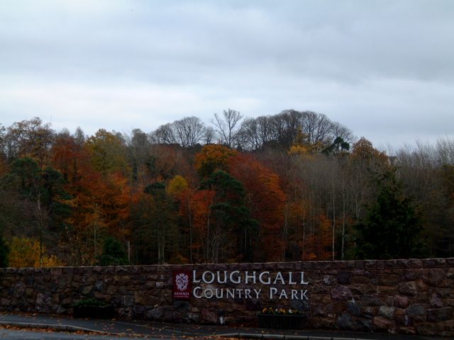
The entrance wall and trees at Loughgall Country Park. Source photograph dated 2003. Resized from the credited source; appearance and access may have changed. Photo: William England ↗ · CC BY-SA 2.0

nature

Loughgall Country Park

Loughgall is a practical place for an ordinary good walk: lake, trees and a village setting, without the pressure of a nationally famous attraction. It suits a quieter gap between more structured visits.

Open place page →
Exterior of Armagh Planetarium
Exterior of Armagh Planetarium. Credited source photograph; appearance and access may have changed. Resized from the original. Photo: P Flannagan ↗ · CC BY-SA 2.0

attraction

Armagh Observatory and Planetarium

Armagh’s planetarium offers a different kind of county stop: a dome show and hands-on science in a city with a long astronomical tradition. Choose the programme carefully; different ages will get different…

Open place page →

External visitor reviews

Find the matching listing and reviews on Google Maps ↗

Part of a bigger journey

Location & access

Getting your bearings

By-arrangement access only; the house inside the bawn is private.

54.40998, -6.74602 · Reference point; confirm the correct entrance and access. Map © OpenStreetMap contributors.

Orientation only: a verified public entrance is not established by this pin. Use the operator arrival information before travel.

Sources & place context

Browse more Ireland places →